Page Links:

Home Page

About Page

What's New Page

Ships Featured
On This Site

2012 Menominee
& Marinette Ships

2011 Menominee
& Marinette Ships

Reserve
Conversion

Older Menominee
& Marinette Ships
2000 - 2010

The Ships Of
Marinette Marine

Menominee North
Pier Lighthouse

Menominee &
Marinette Parks
& Things

Interstate
Bridge Project

Soo Locks
Galleries
(22 Different)

Waterfalls Page (new)

General Photo
Gallery

Odds 'n' Ends

Wagenborg Ships

Ship Photos
From Green Bay

Escanaba Ore &
More

Sturgeon Bay
Lay-Ups

A Tour Of
Sturgeon Bay

Edward L Ryerson

1000-Footers

Favorite Photos

Misc. Great Lakes
Ships

Guest Book Page

Favorite Links
Page

LAST UPDATED July 8, 2012 - Scenes from Peshtigo, WI Bridge Project:


Image to the right:

"The Young Swimmers" sculpted by James F. Hopfensperger is one of the attractions on Stephenson Island in Marinette, WI.


Area Parks & Places of Interest:

NOTE: I decided to take the original photos of these parks and other places in early 2009 while most of the facilities were closed for the season in order to show all the things that each has to offer. As new events come along, I will post photos of the facilities in full swing, with people enjoying outings at these places.

Click on a link below to go to that place:

Please choose either Marinette or Menominee or Peshtigo (Added on Sept. 4, 2010)


Marinette

Click on a description to see the photo

The local monuments and attractions will be presented by the park or place where they are to be found.

Click your Browser's "Back" button to return here


Red Arrow Park
Stephenson Island
Monuments Along Riverside Drive

Marinette Civic Center and Higley Field Recreation Area
Marinette City Park
Pederson Baseball Fields (3)

Other Places & Things of Interest


Menominee

Click on a description to see the photo

The local monuments and attractions will be presented by the park or place where they are to be found.

Click your Browser's "Back" button to return here


Great Lakes Memorial Marina

Wednesday Night Sailboat Races
Menominee (annual) Antique Car Show
Menominee (annual) Waterfront Festival

River Park Campground, Mystery Ship Marina, and Mystery Ship Boat Launch
Tourist Lodge (Michigan Welcome Center)
Memorial Park
Henes Park

Other Places & Things of Interest


Photos of the different areas of Red Arrow Park in Marinette, WI taken on a gorgeous April 22, 2009 morning. BE SURE TO check out the unique "Memorial Structure" and its featured photos! I would have normally put these into a slideshow; however, due to some of the photos being different shapes than normal, and due to the fact that the slideshow drastically reduces the sizes of the photos (which would make reading some of the lettering on some of the signs and monuments difficult), I decided to put these in my normal text-link format.

Menekaunee Walkway sign - This photo is actually at the beginning of the walkway near Harbor Town Marina in the old Menekaunee section of Marinette, WI, a very popular concrete walkway that goes through a wooded trail ending at Red Arrow Park.
Menekaunee Walkway - The Red Arrow Park terminus of the walkway
Sign - The entrance to Red Arrow Park (with part of the park in the background)
Sign - Another view with a large parking lot in the background

Facilities - Restroom facilities and storage building
Beach - A view looking north along the beach from the parking lot
Headquarters - Park building
Headquarters - Another view

Memorial Structure - Sculpture with a mainly nautical theme (playground in background)
Memorial - This structure is made of polished gray marble/granite with embedded pictorial memorials
Memorial #1 - A plaque embedded in the structure in memory of Richard D. Fischer
Memorial #2 - Dedicated to the LaFever Family
Memorial #3 - Part of the memorial donated by Farmers & Merchants Bank
Memorial #4 - Dedicated to the people of Nylund Fisheries
Memorial #5 - More Nylund Fisheries
Memorial #6 - ... and another
Memorial #7 - Dedicated to my friends Bill & Oliver Swenson
Memorial #8 - In memorium of those who died on the fishing boat Linda E when it was run down by a barge on Lake Michigan on a clear Dec. 11, 1998 day

Playground - A lot of playground space for the kids
Pavillion - A great place for get-togethers
Veteran's Memorial - Donated by Company A Twenty Year Club in July 2000
Veteran's Memorial - Close-up of the Memorial Stone

Park Grounds - Looking south from the parking lot
Beach - Looking south along Seagull Bar beach at the south end of the park grounds
Another Memorial - Located at the far southeast side of the park grounds
Memorial - Close-up of the plaque on the memorial
Park Grounds - Looking from the far southeast side of the park grounds back toward the parking lot

June 21 - Happy Father's Day!! - Red Arrow Park was well used on a gorgeous Sunday afternoon. Here are some photos with many people enjoying the facilities.

Entrance Sign - A full parking lot awaits me as I drive in
Beach - With temperatures in the low 80's, the beach is a big attraction
Bath House - Others relax in the shade of the trees near the bath house and beach
Headquarters/Pavillion - A large group enjoys an outing near the entrance to the park
Memorial Structure - The memorial shines this day

Playground - The youngsters enjoy the equipment
Boat launch Lagoon - This is a popular place for canoes and kayaks, here a couple canoeists enjoy the day
Open Pavillion - Another group relaxes in the other pavillion
Picnic - One more group enjoys the picnic tables under the shade trees near the open pavillion

More Photos:

Beach & more - A groups of people enjoy the beach while the USCG Coast Guard sits at the Menominee North Pier Lighthouse pier on Aug. 22, 2010


Photos of the different attracions that are to be found on Stephenson Island in Marinette, WI Again, I would have normally put these into a slideshow; however, again, since some of the photos are of odd shapes, and due to the fact that the slideshow drastically reduces the sizes of the photos (which would make reading some of the lettering on some of the signs and monuments difficult), I decided to put these in my normal text-link format.

Wisconsin Welcomes You - Sign welcoming all to Wisconsin is found on the north side of Stephenson Island
Entrance - Sign at the entrance to Stephenson Island
Entrance - Wide view with entrance sign and monument of horses and a lumber wagon
Horses & Lumber Wagon - At the entrance to the Island
Museum - Wide view of the horses and lumber wagon with the museum in the background

Museum - Marinette County Historical Logging Museum (looking west)
Museum - (looking northeast)
Plaque - Memorial plaque by the horses and lumber wagon
Veteran's Memorial - Located just west of the first parking lot on the Island
Plaque - Close-up of the plaque at the base of the memorial

Sign - Tells about the history of the Menominee River
Ice Road Cutter - An old piece of logging equipment
Ice Road Cutter - A plaque tells the function of this piece of equipment
Plaque/Sign - Dedicated to the person who donated the Ice Road Cutter
Sign - This sign is in front of a century-old log cabin donated to the museum

Log Cabin - ... and this is the cabin
Small "Pavillion" - A small open structure with a fire box for cooking out (there are fire boxes and picnic tables scattered around the Island)
Statue - This tall statue is dedicated to the soldiers of Marinette County who were killed in action
Statue - Close-up of the figure at the top of the sculpture holding a rifle
Statue - Close-up of the engraving of the dedication and the presentor

Performance Center - Concerts and gatherings are held here
Playground - Something for kids (of all ages)
Playground Plaque - Playground donated by the Marinette Lions Club
Lions Club - The opposite side of the previous sign shows other area projects in which the Club has been involved
"Young Swimmers" - Wide view of the area on the south side of the Island where this sculpture resides

"Young Swimmers" - Close-up of the sculpture (the water here is shallow, no diving!)
"Young Swimmers" - Another look at the sculpture with the "River Walk Bridge" in the background
Plaques - Plaques naming those who created and/or donated to the "Young Swimmers" sculpture
Island Things - Firebox, picnic table and park benches are scattered around the Island
Brick Walkway - The walkway to the "River Walk Bridge" is made of brick. The lighter colored bricks have names of donators to the walkway & bridge project engraved in them.

Engraved Brick - One of the bricks has the names of my Mother and "Dad" (Mom's second husband, who earned that "title"!)
River Walk Bridge - This pedestrian-only structure connects the mainland of Marinette to Stephenson Island (the roadway to the Island is just to the north)
River Walk Bridge - Another view of the bridge on a gorgeous, blue-sky day
Boat Launch - The river is quite high in this scene, but the dock is usually acessible.
Sign - "Thank you for visiting" sign on the Island

Evancheck Cabin - A look at the front of the old log cabin
Horses and Log Wagon - An updated photo of the team of horses at the entrance to the Island
Horses and Log Wagon - Side view of the monument
Menominee River sign - Flowers surround the sign near the Island's entrance

Nest Egg Marine - The east side of Stephenson Island is used for a marina
Nest Egg Marine - Panoramic view of the east side of Stephenson Island
Nest Egg Marine - Another view of the east side of Stephenson Island on July 31, 2010


Photos of the different monuments erected along Riverside Drive in Marinette, WI

"Ike" Stephenson - This memorial is the first one heading west from Dunlap Square
"Ike" Stephenson - Close-up of the figure
"Ike" Stephenson - Close-up of the inscription behind the figure
"Ike" Stephenson - Plaque located on the backside of the memorial tells who this person was
2 Cannons - Found along the Menominee River just west of the "Ike" Stephenson memorial

Cannon - Close-up of the "business end" of one of the cannons
Memorial - Crossing the railroad tracks, we come to a memorial to "Queen Marinette".
Plaque - Close-up of the "Queen Marinette" memorial plaque
Memorial - One final memorial sits above the "Scott Dam" west of the Hattie Street Bridge
Plaque - Memorial plaque where the first sawmill was built on the Menominee River


Photos of the different amenities at the two Marinette facilities which are adjacent to each other

Civic Center:


Civic Center - Sign at entrance and part of the complex behind it
Civic Center - Partial view of the two "domes" that primarily house indoor tennis and hockey facilities
Civic Center - Large outdoor pool (empty until it opens in summer)
Civic Center - Snack Shack at the rear of a "kiddie pool"
Civic Center - A view of the two "domes" from Higley Field (next door)

Higley Field Recreation Area:


Higley Field - Sign at facility: "Higley Field Recreation Area"
Softball Diamond #1 - Looking out from behind home plate
Score Board - At the first softball diamond
Softball Field #1 - Looking in from short right field at the dugouts, backstop, and a playground behind the field
Softball Field #2 - Looking in toward home plate from center field

Score Board - At the second softball diamond
Tot Lot - Building where programs for younger children are held
Tot Lot - "State Licensed Pre-School"
Tot Lot - View of the facility and small palyground area
Higley Field - Wide view of a larger playground at the Complex

Higley Field - Another view of the main playground
Higley Field - A final look at the playground equipment


A view of the grounds and facilities at the park:

Sign - Sign at entrance to the park off Carney Boulevard
Amenities - Picnic tables and grills are available at various spots in the park
Playground - A large playground for the kids
Playground - A view from a different vantage point
Pavillion - A nice building with both outdoor and indoor facilities

Pavillion - A look at the facility from the opposite end of the building
Indoors - Kitchen facilities are available (blurry and some glare, as I was shooting through a window)
Restrooms - Located just off the playground
Plaque - "Donation" plaque dated July 4, 1987
Path - Stately pine trees line a paved path/road in the park

Trail - There are a few trails in the park
Trees - A look through the trees back toward the pavillion and playground
Picnic Area - Across the main road through the park are more picnic tables and grills
Office - ... and what is that alongside the building? One of the last public pay phones!
Plaque - A 1962 plaque on the building
Hill - This hill is a popular place for sledding in the wintertime


A view of the three ball fields and facilities at the complex:

Sign - Tells that 4 different Marinette teams use the main ball field, and the the other two fields are for younger players
Concession Stand - Located along the third base side of the main ball field
Plaque - Lions Club donated the addition to the concession stand in 1999
Park Bench - With a neat shadow showing through a cutout in the back of the bench!
Building - Another concession stand(?) with two Marinette Redbird benches in front of it

Announce Booth - Game play by play is broadcast to fans at the park from this building
Plaque - Memorial to Bob Charlesworth located on the announce booth building
Main Ball Field - Looking out from behind home plate at a well-kept field!
Scoreboard - (Main ball field) scoreboard is dedicated to Glen Bunda, who was a longtime supporter of local baseball
Main Ball Field - Looking in along the first base line from short right field

Main Ball Field - Looking in toward home plate from center field
Main Ball Field - Looking toward the pitching mound and backstop from behind second base

Babe Ruth Field - Looking out from the catcher's position at the field next to the main ball field
Scoreboard - At the Babe Ruth League field for early teenagers
Babe Ruth Field - Looking in from center field toward home plate

Third Field - Looking in from left field, this field is mainly for kids between Little League and Babe Ruth League ages
Scoreboard - At the third field


Photos of monuments, grounds, buildings and facilities around the city:

Old Chicago & Northwestern Railroad Depot - Trackside view: just off Hall Ave. (US-41) in downtown Marinette
C&NW Depot - Trackside view from the opposite end of the building
C&NW Depot - A view of the backside of the building (looking southwest)
C&NW Depot - Looking down the platform and tracks (looking south)
C&NW Depot - ... same view from the opposite end of the platform (looking north)
C&NW Depot - A view of the backside of the depot (looking northwest)

Old Milwaukee Road Depot - Sign telling of the historical structure and how it was moved from its original site to avoid demolition
MR Depot - A view of the beautifully restored building
MR Depot - "Chicago, Milwaukee & St. Paul - Marinette" sign on the south end of the depot
MR Depot - Full view of the building
MR Depot - A view of the building (looking southeast)
MR Depot - Close-up from the same angle. NOTE: There is a similar Milwaukee Road Depot in Menominee (undergoing renovation) Click here to go there


Menominee, Michigan


The races start from (and end at) the Great Lakes Memorial Marina each Wednesday night throughout the summer. The first group of photos were taken during the race from Henes Park in Menominee on Aug. 18, 2010; the second group was taken from the Great Lakes Memorial Marina on Aug. 25.:

Photo #1 - (Group 1) Three sailboats quite far out in the bay
Photo #2 - 2 more with colorful spinnakers follow
Photo #3 - The red sailboat has rounded the outer buoy and is headed back to finish the race (taken from a different location)
Photo #4 - (L to R) the first sailboat is making the turn at the buoy, the second, fourth and seventh are heading back after making the turn, the other three are heading for the buoy
Photo #5 - (L to R) The first sailboat seemed to be having trouble completing the turn (as they were in that "attitude" for a while), the second, third and fifth boat are headed back, while the other two are still heading for the buoy

Photo #1 - (Group 2) The race official with the start flag on the northwest corner of the marina
Photo #2 - (The race has been underway for about 20 minutes) A group of sailboats on the bay on a great night for sailing
Photo #3 - Close-up of two sailboats
Photo #4 - Rounding the bell buoy
Photo #5 - Menominee's Great Lakes Memorial Marina as viewed looking southwest from the northeast corner of the marina
Photo #6 - (Group 2) After 7:30 p.m. the race winds down to the finish

Photo #7 - Race officials watch the ending of the race
Photo #8 - 2 sailboats heading for the finish line (buoy)
Photo #9 - More sailboats follow
Photo #10 - The sailboat at the left of the photo is approaching the buoy that marks the finish line
Photo #11 - Traffic jam of colorful boats as they approach the finish buoy
Photo #12 - The sailboat on the right has crossed the finish line the other approaches it.


Great Lakes Memorial Marina grounds:

Grounds - Looking southwest from the bandshell
Grounds - Looking southeast from First Street in front of the bandshell
Grounds - Looking southeast from about the middle of the grounds
Grounds - Looking north from south end of the grounds
Grounds - Looking northeast from First Stret near 6th Avenue

Grounds - Looking north between the first & second rows of cars (there were 3 total rows)
1937 Packard - Touring Sedan
1978 Corvette - Silver Anniversary edition
1957 Ford - Thunderbird contour
1968 Chevrolet - Nova Super Sport

1947 Ford - Deluxe 2 Door
1932 Chevrolet - 2 Door coupe
1958 - 2 Door Impala
1936 Chevrolet - 2 Door coupe
1930 Ford - Model A coupe
1963 Jaguar - XKE coupe

1951 Mercury - Custom 4 Door
1969 Triumph - 2 Door Spitfire


Great Lakes Memorial Marina and the Area Between Swings 'n' Things and the American Legion Club:

Fireworks - Workers load fireworks aboard the barge, Greenstone, on Saturday afternoon in preparation for that night's fireworks show at Great Lakes Memorial Marina
Greenstone - Close-up of the workers and some of the fireworks aboard the barge
Festival Grounds #1 - This, and the next 4 photos, will give a panoramic view of the grounds from south to north
Festival Grounds #2 - ... continuing in a clockwise direction
Festival Grounds #3 - ... continuing in a clockwise direction

Festival Grounds #4 - ... continuing in a clockwise direction
Festival Grounds #5 - The northeast corner of the festival's main grounds (there is more further to the north)
Bandstand (rear) - A view from the swimming pier of the bandstand, which hosts entertainment acts throughout the summer
Bandshell - The crowd enjoys the entertainment (wide view)
Bandshell - Close-up as another group of entertainers prepare the stage for their show

Fireworks - Workers set up ground "launching pads" for the fireworks later tonight (others will be fired from a barge out in the bay)
Fireworks - Closer view of workers setting up the fireworks' ground platforms
Fireworks - Close-up of some of the "launch tubes"
Menominee Marina - A view looking northwest from the swimming pier
Air-filled Slide - Still on the main grounds is this kids' area

Little "Slider" - A child has just jumped onto the slide in the Main Area
Food Booth - Food is readily available
Kids' Area #1 - In the area between Swings 'n' Things and the American Legion Club
Kids' Area #2 - Wide view of part of the play area
Kids' Area #3 - A different view of the area

"Rock" Climbing #1 - 3 climbers start up the Army National Guard exhibit
"Rock" Climbing #2 - The 3 climbers are about halfway up
"Rock" Climbing #3 - Two have reached the top
"Rock" Climbing #4 - Two head down while the third continues upward
Win A Goldfish - A "game of chance" booth

Pony Rides - What is a child's area without one of these
Historic Marker - Main Street Historic Marker along First Street

Actual Fireworks #1 - Okay, this is the first time I have tried to photograph fireworks ...
Actual Fireworks #2 - ... So, looking at the photos, you will see that ...
Actual Fireworks #3 - ... Yours truly needs a lot more practice!!
Actual Fireworks #4 - All of these photos were taken from my backyard (about 14 blocks from the firewroks)
Actual Fireworks #5 - This is kind of cool - the Menominee County Courthouse is framed by fireworks


River Park Campground:

Entrance - Sign and main buildings at front gate
Sign - Close-up of the sign at the entrance to the park
Main Entrance - Looking west from the entrance gates along the main road into the campground
Plaque - Local residents, David & Nancy Fernstrum, have been major benefactors of the campground
Sign - Rules and regulations, rates and facilities at the park

Campground - Looking at the campground along a stretch of the Menominee River
Main Buildings - Looking back toward the main entrance
Pavillion - A nice place for a get-together near the middle of the grounds
Shower/Restroom Facility - Very well kept building & facilities near the center of the campground
Shower/Restroom Facility - The other side of the building

Playground - A great place for the little ones
Pavillion & River Facility - A nice area to take in the Menominee River (looking southwest)
Pavillion - Close-up of the structure right on the banks of the Menominee River
Pavillion & River Facility - A look from the other end (looking southeast)
Pavillion & River Facility - Looking straight through the area (looking east)

Camping Lots - Looking up one of the rows of lots
Lot - A typical camp lot with fire pit and picnic table
Campground Facilities - Looking northeast at most of the facilities in the campground

The following photos were taken from the Interstate Bridge for an overhead view

Campground - Looking southeast at most of the grounds
Lots - A look at typical lots (these along the river)
River Pavillion - Wooden structure and walkway with Marinette Marine Corp. in the background (looking southeast)
River Pavillion - Looking northeast at the river and structures
Campground - Looking northeast at the campground

Campground - This, and the following 2 photos, were taken in August 2010 with the park in full swing. Here is the north side of the park.
Campground - West side
Campground - The entire facility looking southeast

Mystery Ship Boat Launch:

Fisherman "Wharf" - Wooden walkway and fishing areas at northeast end of the boat launch area
Fish Cleaning Facility - A place to clean your "catch of the day"
Restrooms - No Port-A-Potties here
Pavillion - On the souteast side of the launch area with park benches and picnic table
Fishing "Wharf" - Fishing area and picnic table beyond the pavillion

Boat Launch - Looking east at the two stall boat launch
Boat Launch - Looking south at the boat launch and pier
Sign - Message Board with fee schedule
Fishing Area - More fishing spots along the Menominee River
Fishing Area - Looking east at the wood-built fishing walkway and fishing areas

Fishing Area - Looking southwest at the same area
Boat Launch - Viewed from the Interstate Bridge

Mystery Ship Marina:

Main Building - Located on the east end of the Mystery Ship Boat Launch area
Slips - A look at the boat slips in the small marina


Photos of the grounds at the facility

Sign at foot of Interstate Bridge - Welcome To Michigan ...
New sign for 2010 - This is the new "Welcome To Pure Michigan" logo
Main Building - Wide view of the grounds and Welcome Center
Main Building - Close-up (looking slightly southeast)
Spirit Stone - A memorial monument to the Menominee Algonquian Indian Nation)

Memorial - Close-up of the plaque at the base of the "Spirit Stone"
VFW Memorial - Dedicated to those from Michigan who gave their lives for our country
Historical Marker - A little history of Menominee
Park - A small park with picnic tables are located on the grounds
Building & Grounds - Viewed from the Interstate Bridge

Main Building - Photographed looking northwest from down below in the M&M Plaza
Main Building - Same perspective, but from a little further up the hill
Stairway - Along the east side of the building is this stairway going down to the picnic area and the M&M Plaza
Stairway - Taken about halfway up the stairway looking up (north)
Stone Fixture - Within this area (years ago) there used to be a drinking fountain and the "pool" (larger opening at bottom) below at one time had goldfish in it


Photos of the monuments and grounds at the park on the bay

Beach - Looking south along the beach from near Hinkers Dock on the bay of Green Bay
Signpost - Sign toward the north end of the park
Signpost - More info on the opposite side of the sign
Park - A look southeast at most of the grounds
Memorial - World War I memorial to area people

Memorial - Close-up of the memorial plaque on the monument
Memorial - A second memorial to all who served their country
Memorials & Flag - Wide view of both memorials flanking a U.S. flag
Park - A look at the park (looking northeast)


Photos of the beaches, pavillions, playgrounds, trails and more at the park on the bay

I will take you on a counterclockwise tour of the park, as that is the direction of vehicular traffic. I will also show you some of the park facilities and well laid out, groomed trails that crisscross the park. Note: the many trails are all named after English Poets.

I want to thank my friend, Scott Best, for some of the information provided regarding the park facilities.

Park Entrance - is framed by two stone archways for pedestrians. Years ago, the roadway was also under a stone arch.
Entrance - Inside the gate the road branches; vehicle traffic is one way only, and goes to the right
Trail - Where the road forks is also the beginning of the park's first trail - "Homer"
Stone Memorial - Just to the right of the "Homer" Trail is the dedication of the park.
Dedication - Close-up of the wording on the stone

Into the park - As you turn into the park, this is your first view
Trail - If you follow the wood chip trail to the left in the previous photos, you come to another trail: "Shakespeare"
Sign - Close-up of the welcome sign on the "Shakespeare Nature Trail"
Pavillion #1 - A newer pavillion around the next turn in the road past the "Shakespeare Nature Trail"
Playground - The park's first small playground is behind the pavillion

Road - Past the first pavillion the rustic road continues along the bay of Green Bay
Trail - "Whittier" Trail is next in line
Water Intake Plant - The City of Menominee's water comes in through this pump station in the park
Shoreline - The stone lining the road is rip-rap that was put in place during an extremely high-water year (1985)
Shoreline - Further along the road, it is hard to believe that the water was once up to the stone

Trail - "Longfellow" Trail is next (near the park's oldest pavillion)
Pavillion #2 - This used to be the only pavillion in the park
Pavillion #2 - Another view of the old pavillion (still very much used for gatherings of all sorts)
Volleyball Court - A sand court for a sport growing in popularity around the area (the nets will be put up when the park opens)
Typical Site - Picnic tables, fire grills and waste barrels are placed throughout the park

Trail - "Virgil" Trail leads to a pond just before we reach the main playground area
Pond - A serene setting along "Virgil" Trail
Pond - A look from the opposite end of the pond
Rock Island - A small rocky island sits in the center of the pond
Main Playground - A view of the playground area

Playground Plaque #1 - The main playground was dedicated on July 4, 1997 - donator's names are here
Playground Plaque #2 - More donators/sponsors to the playground
Main Playground - A look at some of the park playground equipment
Main Playground - A look from the opposite end of the playground
Beach - A large beach lies across from the playground. The water is fairly shallow for a long way out, so it is nice for young children

Beach - A look at the beach (and lifeguard stand) from the opposite end of the beach
Beach House - Restroom facility and (sometime) concession stand tastefully decorated with kids in mind
Beach House - A view of the colorfully decorated building from the front (the facility is now used for storage and office space)
Sign - Near the front door are named the people responsible for the artwork
Beach House - One last look at the facility from the opposite end (The Recreation Dept. uses the facility for its "Art in the Park" program from time to time)

Trail - "Goethe" Trail is next up (near the beach house)
Pond and Deer Park - Pond is located at the corner of the animal yard
Bridge - Across the road from the pond, this pedestrian bridge crosses a creek
Deer Yard - Looking along the fence-line of the animal area
Deer Yard - A park bench, some deer and another pavillion in the background

Trail - An un-named trail leads back to the beach from near the deer yard
Deer - 4 deer graze inside the fence and one checks me out
5 Deer and a Raccoon - Suppertime!
Close-up - Of 2 deer and the raccoon
Deer - A deer feeds at one of the feeding troughs (People also hand feed the deer through the fence, so they are used to human contact)

Trail - "Byron" Trail (across from the deer yard) leads back to the beach house
Pavillion #3 - A newer pavillion near the deer yard, and just off the entrance road (Henes Park Drive) before entering the park
Memorial Plaque - A palque above the entrance to the pavillion
Pavillion #3 - Another look from the opposite side (the water in the foreground is not a pond, just groundwater)
Playground - Another small playground is near Pavillion #3

Trail - "Schiller" Trail is the last trail before departing the park
Trail - A look at a typical groomed trail with a small footbridge and park bench in the woods
Tree Plaque - Many plaques such as this one are scattered along the trails telling what kind of trees (and their uses or historical value) the visitor is seeing
3rd St. Entrance #2 - Years ago, trolleys, and later on city busses, used to stop at this (pedestrian only) entrance to the park (near the deer yard)

Home that used to be IN Henes Park! - This home on the corner of M-35 and Henes Park Drive used to be in the Park in the area where the first pavillion now sits. The building was moved from the Park grounds to its current location many year ago; it became Bailey's Grocery Store, and then an apartment building. The home is possibly one of the oldest buildings in Menominee. (Information from Jim Borski of the Menominee County Historical Society).


Photos of the annual "Arts In The Park" day

Here you will find photos of the park's fountains, beach areas and various art exhibits, where people can display and/or sell their various artistic creations.

Beach - With temperatures in the mid 60's, a few people still took advantage of the water
Volleyball Courts - No one was using the sand courts this day
Fountain - The fountain on the "Rock Island" in the "Pond" (see above section of photos)
Fountain - A closer look at the now operational fountain in a peaceful setting off the playground
Fountain - Close-up of the "Rock Island" and fountain

Aerator - The first pond as you enter the park now has a fountain-like appearance
Aerator - Close-up of the "fountain" with the bay of Green Bay in the background
Rock Sculpture - Well, this is "Arts in the Park" day!
Artist - An artist displays her works and her skills
Artist - Close-up of the artist as she paints a landscape of the shoreline

Booths - More booths with various arts on display
Art Booth - All types of paintings are on display
1941 Ford - There were even a few "Classic Cars" there today
1941 Ford - Rear view of the old car


Photos of monuments, grounds, buildings and facilities around the city

Reindl West End Park - The old Horse Trough has been in this location for a long time
Reindl West End Park - Memorial sign telling that the Park was given this name in 2000
Reindl West End Park - Close-up of the horse trough (water used to come out of the serpents' mouths and fill the basin)
Reindl West End Park - Close-up detail of the serpents' heads (the trough really looked nice when it was freshly painted in green a few years back)
Reindl West End Park - The park is mostly a playground with a few park benches
Reindl West End Park - Memorial Stone & Plaque outside the park
Reindl West End Park - Close-up of the wording on the plaque

Duby Park - Sign at the entrance to the park on 4th Ave. (Truck Route)
Duby Park - Wide view of the park (looking northeast)
Duby Park - Small basketball court at the east end of the park
Duby Park - Playground at the east end of the park
Duby Park - Baseball field (all grass) has been used for Tee-Ball Leagues in the past
Duby Park - This area is used as an ice rink in the winter with the building used as a "warming shack"
Duby Park - Wide view of the park (looking east)

Sign on Interstate Bridge - This sign needs to be updated! Not only were the Menominee Maroons State Basketball Champs in 1967 and State Football Champs in 1998 as the sign states; the Maroons were also back-to-back State Football Champs in 2006 & 2007!
Historical Marker - Found on US-41 in north Menominee is this "Half Way To The North Pole" marker
Historical Marker - Close-up of the plaque

Tourist Park - Donator's Plaque outside the road entrance to the park (along the road to Menominee North Pier Lighthouse)
Tourist Park - Close-up of the plaque
Tourist Park - The beach at the park used to be known locally as "Fat Ladies' Beach", and there were even some old city maps with that name on them

... and while you are in this area, don't forget to visit Menominee North Pier Lighthouse! Click Here to visit my page featuring the lighthouse with photos of it in all seasons.

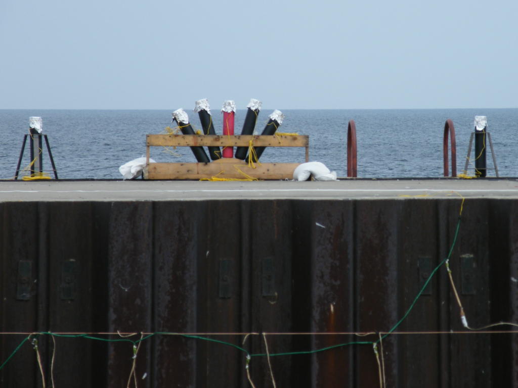
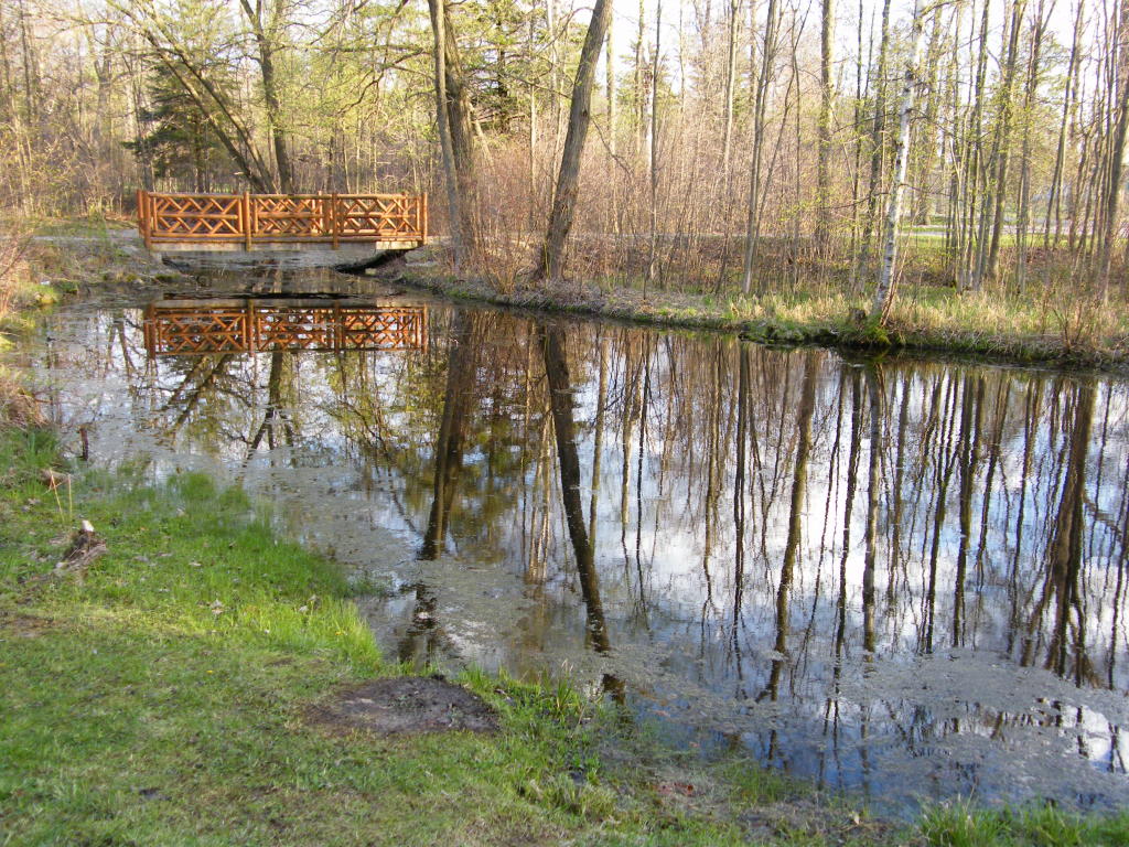
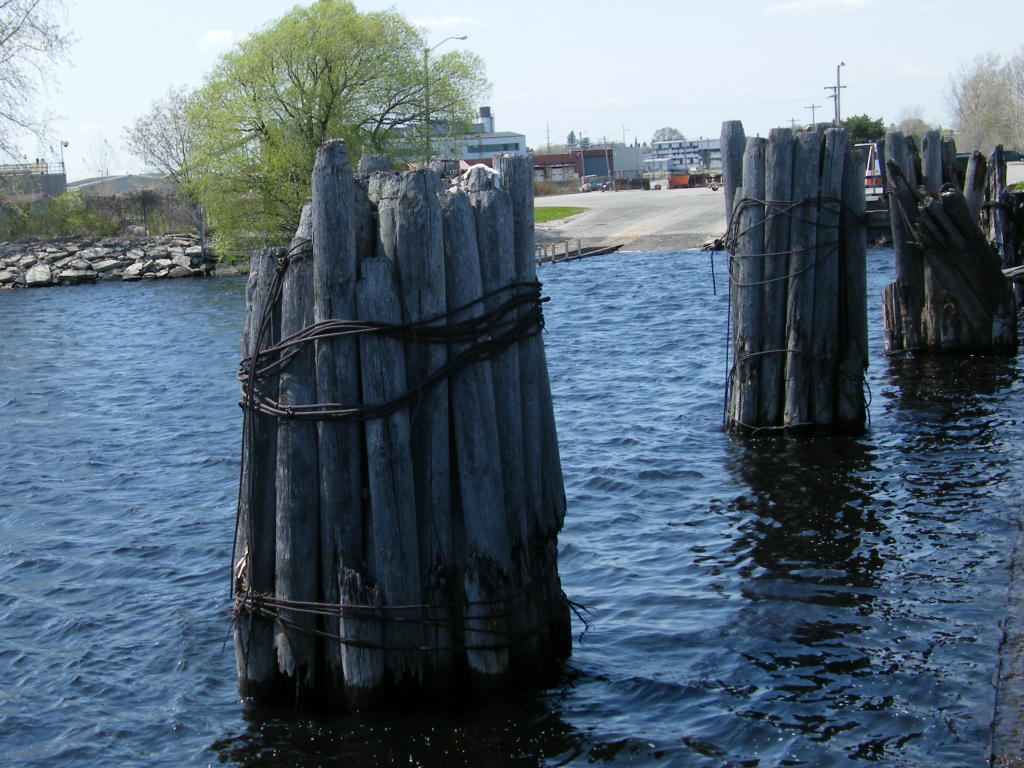
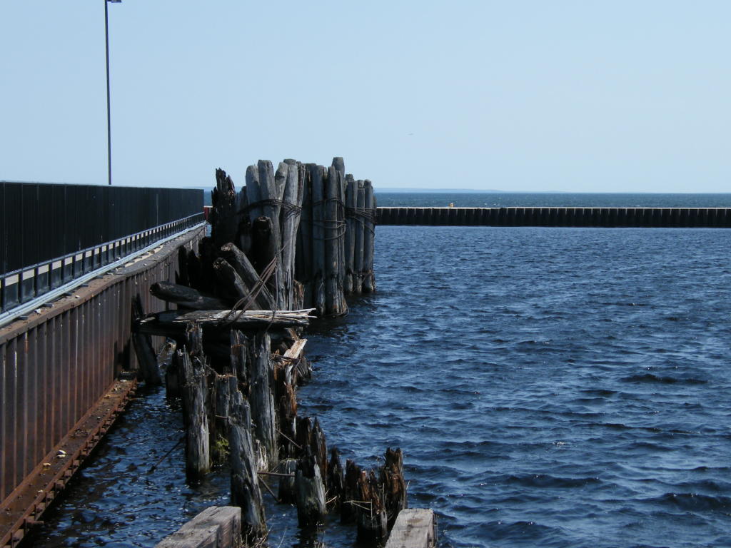
Pilings - This is all that remains of the old Ann Arbor Carferry Dock near the lighthouse and the mouth of the Menominee River (looking back toward where the dock used to be; the area is now a boat launch)
Pilings - Even the pilings are slowly rotting away, just as the carferry service gradually disappeared more than a few years ago.
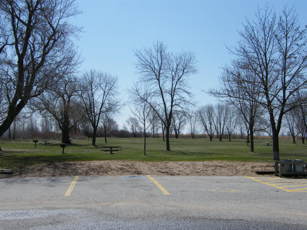
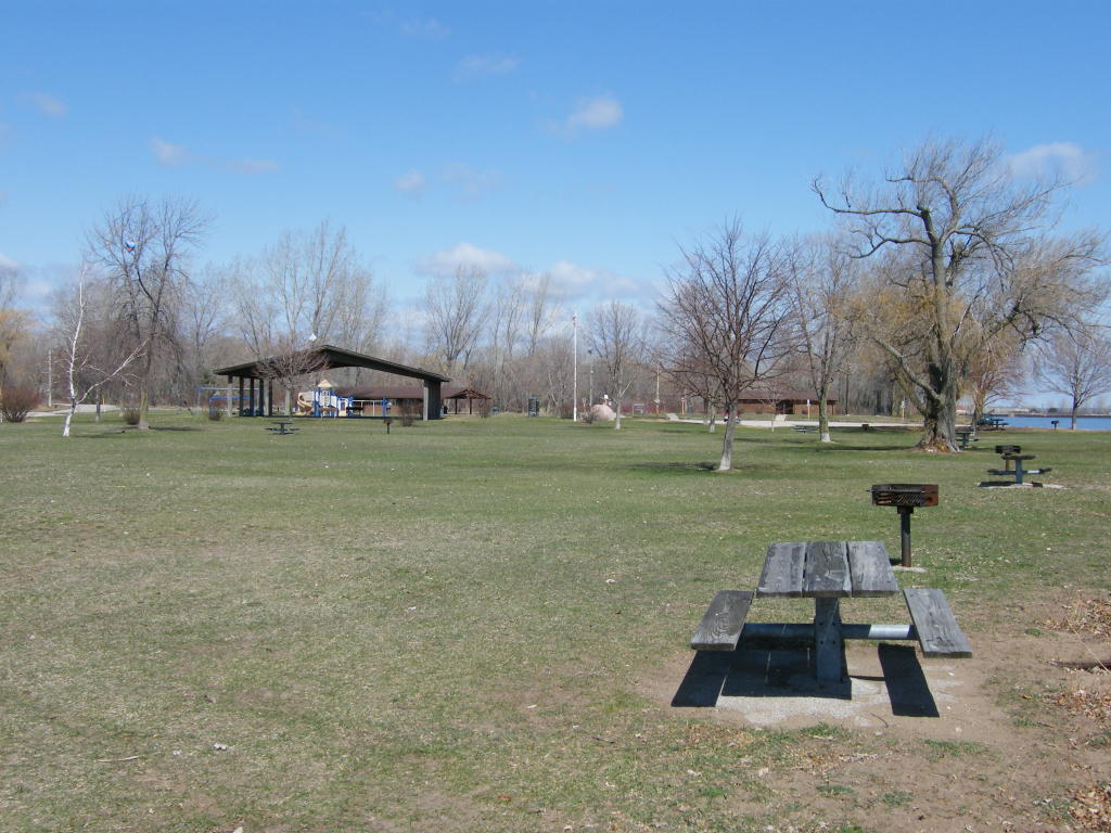
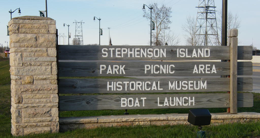
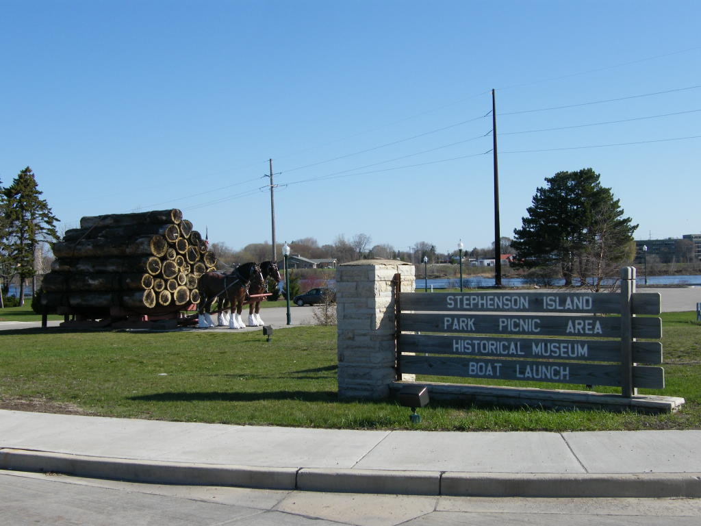
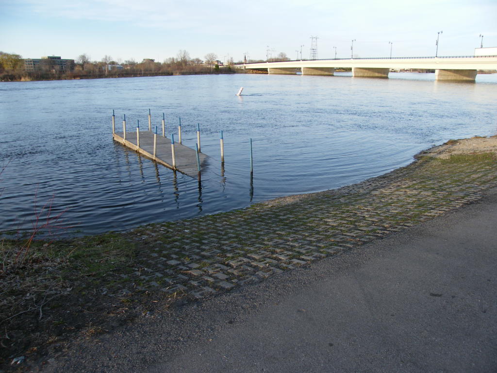
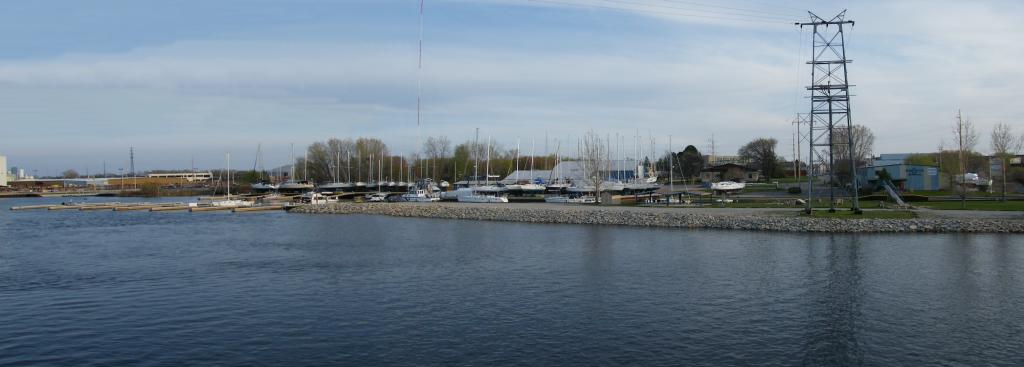
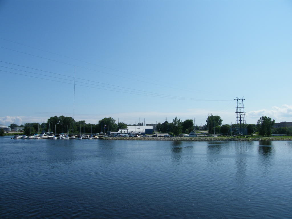
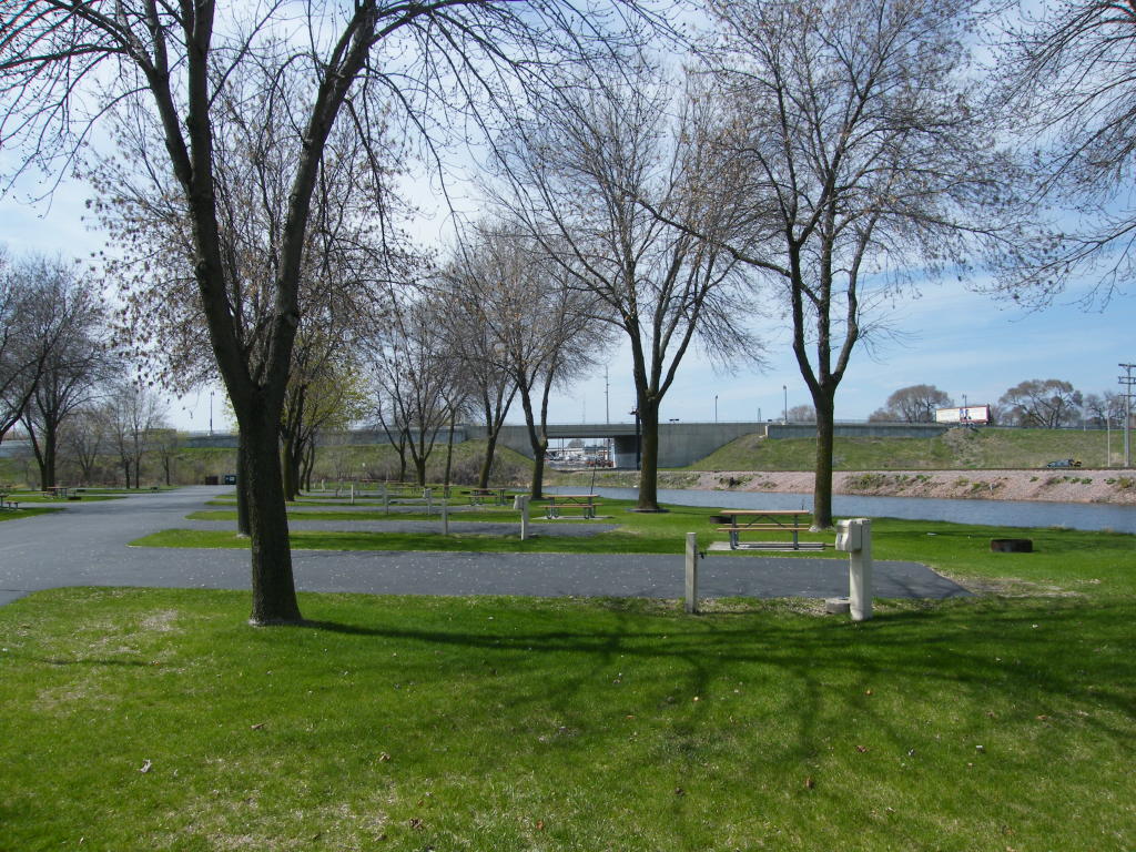
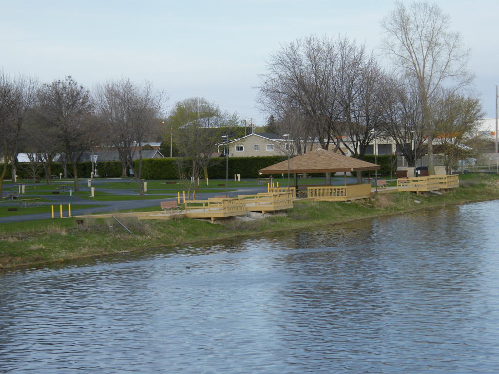
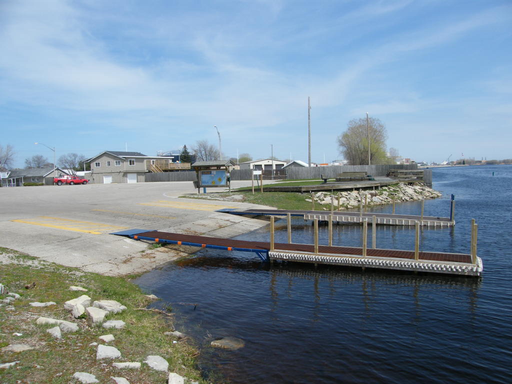
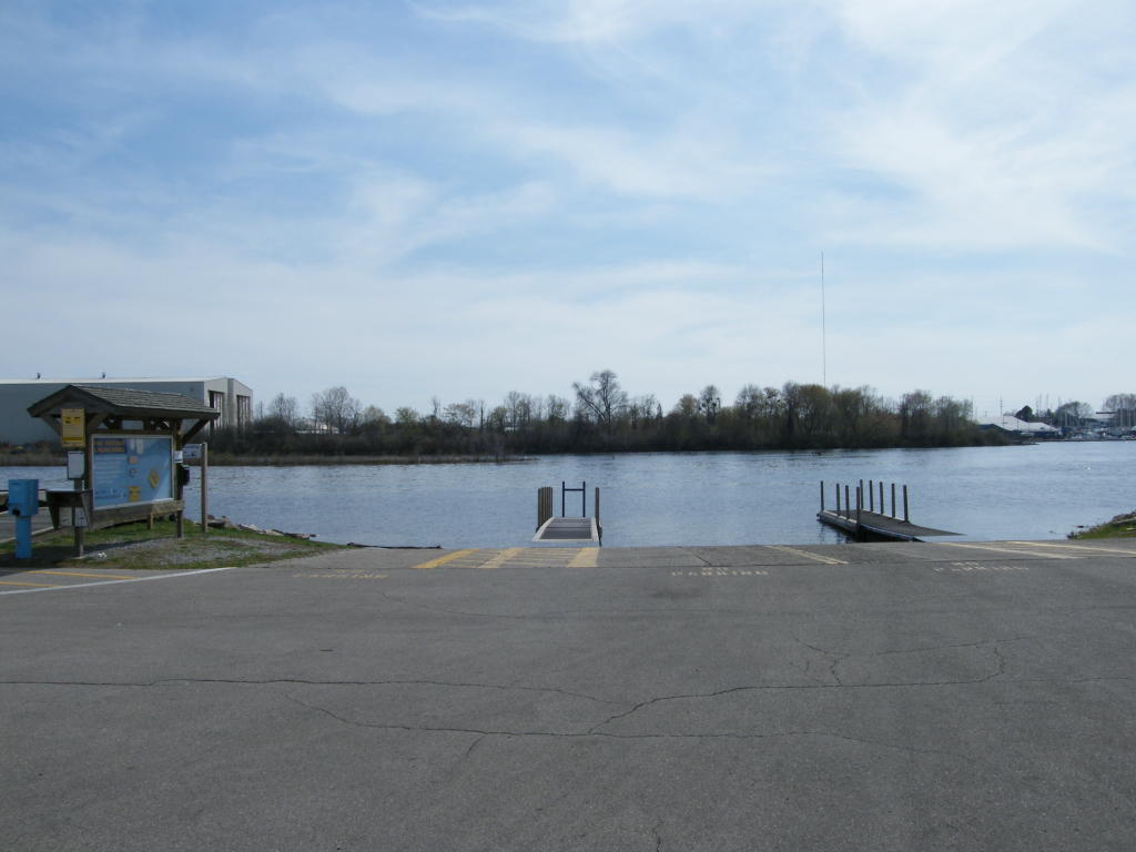
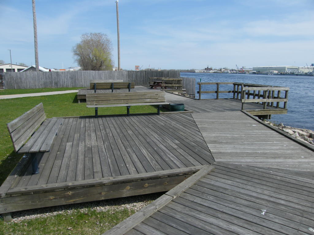
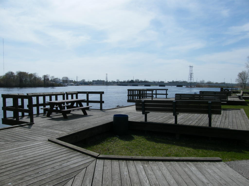
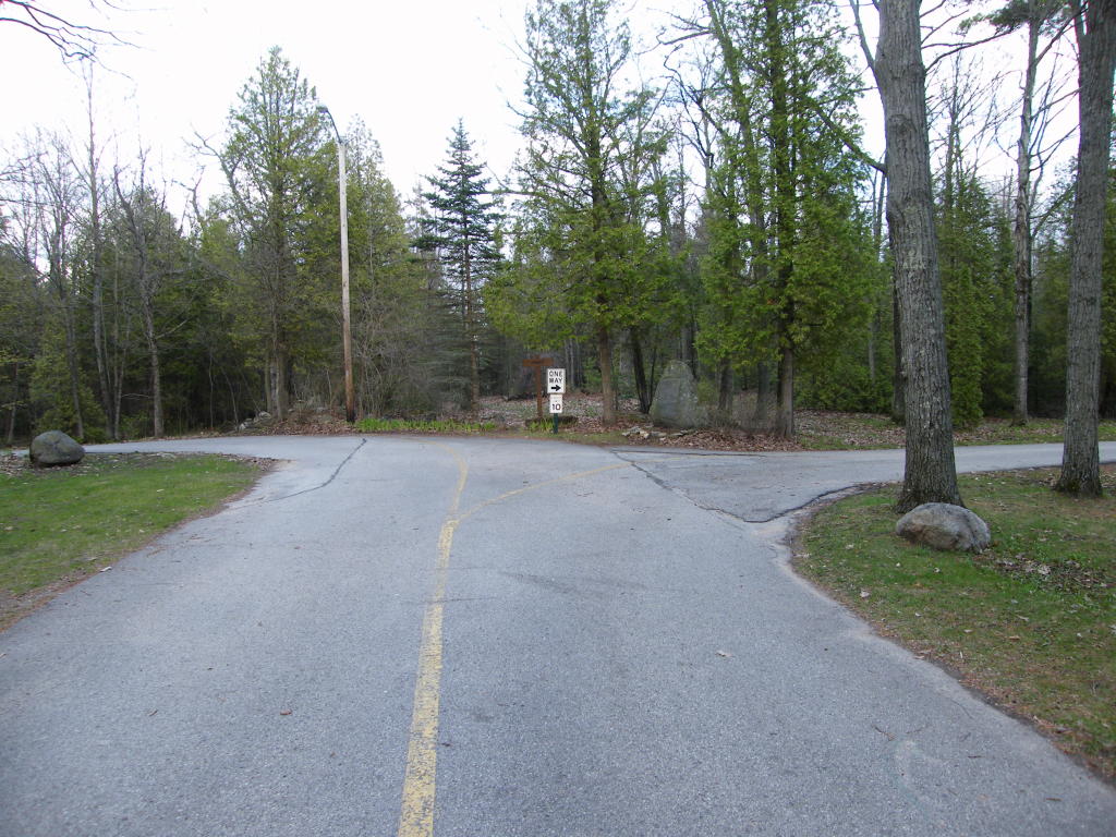
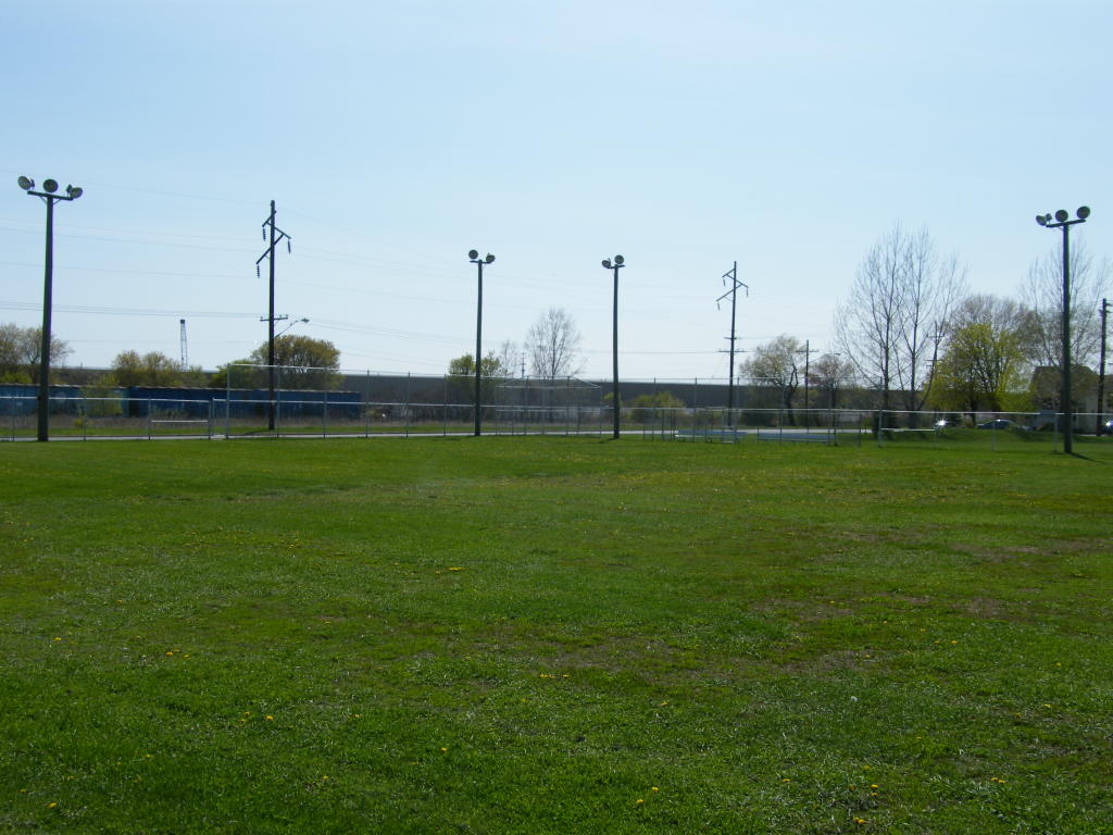
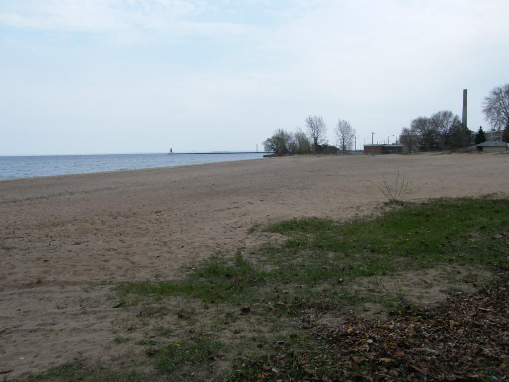
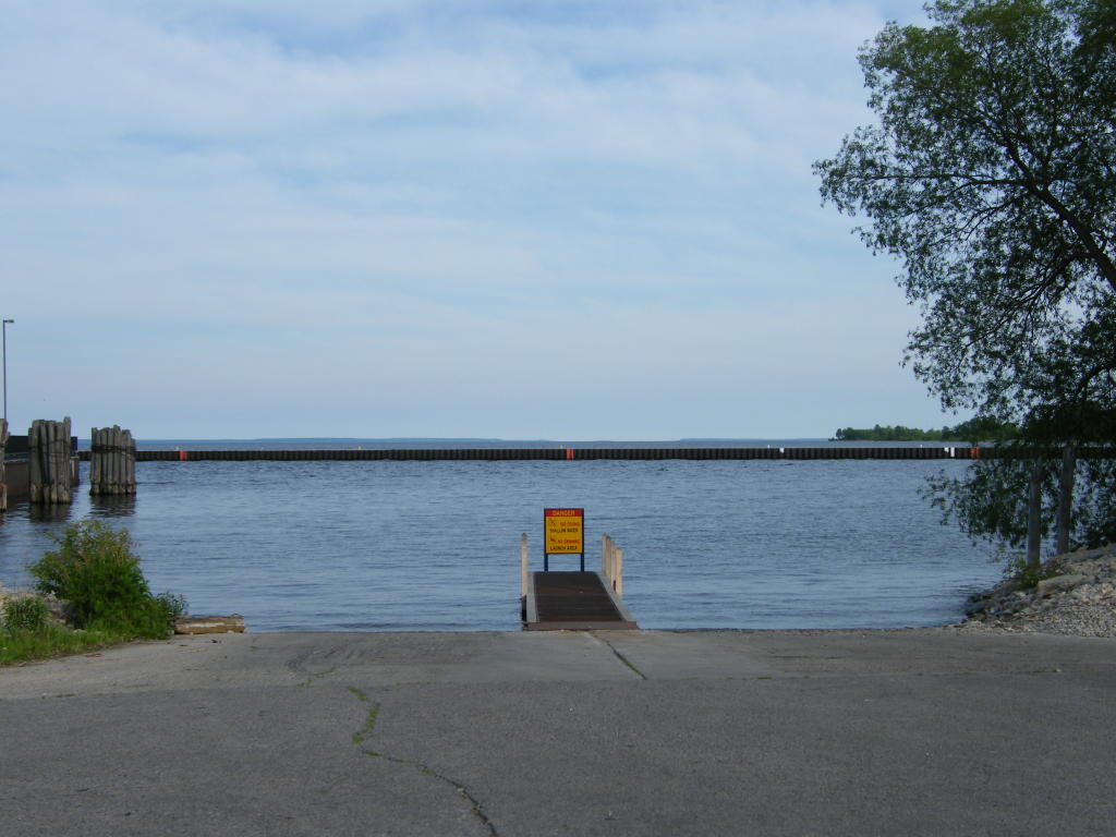
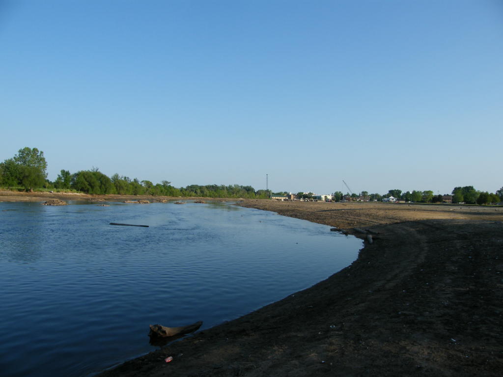
Boat Launch - This is what the area where the old Ann Arbor Carferry Dock used to be looks like today.

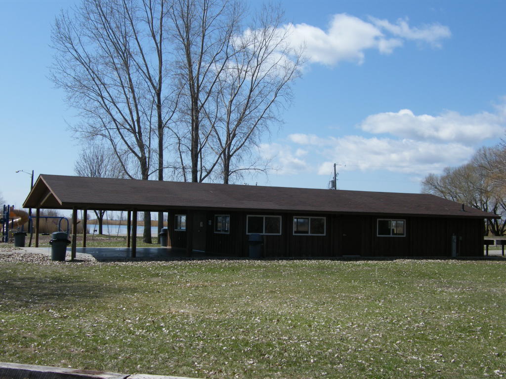
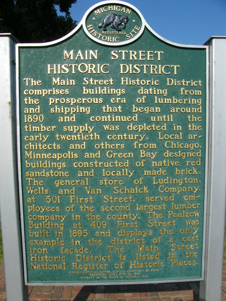
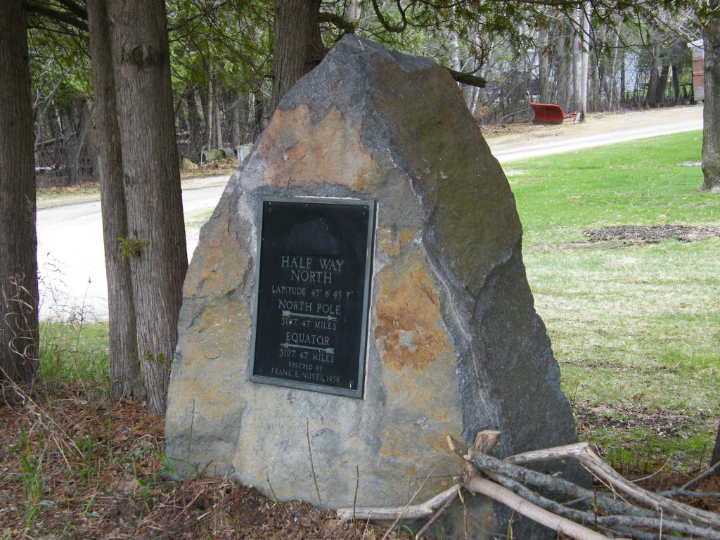
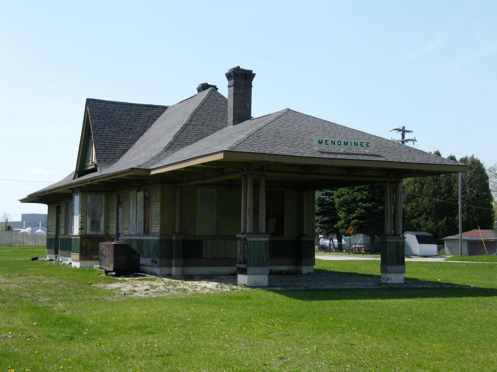
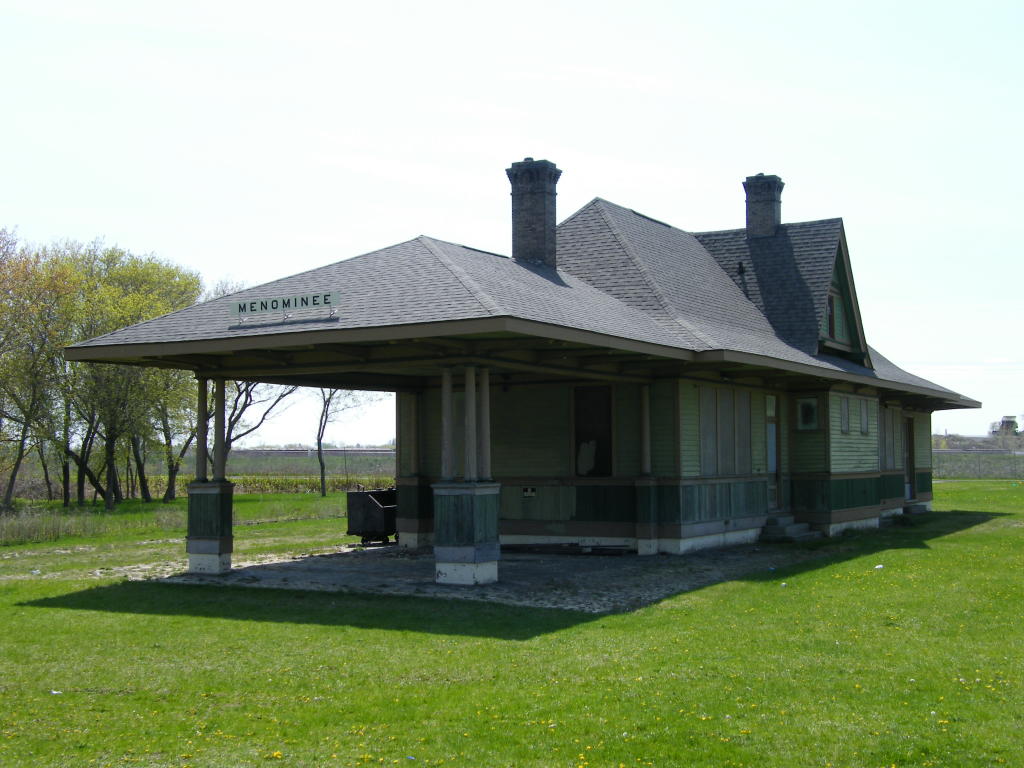
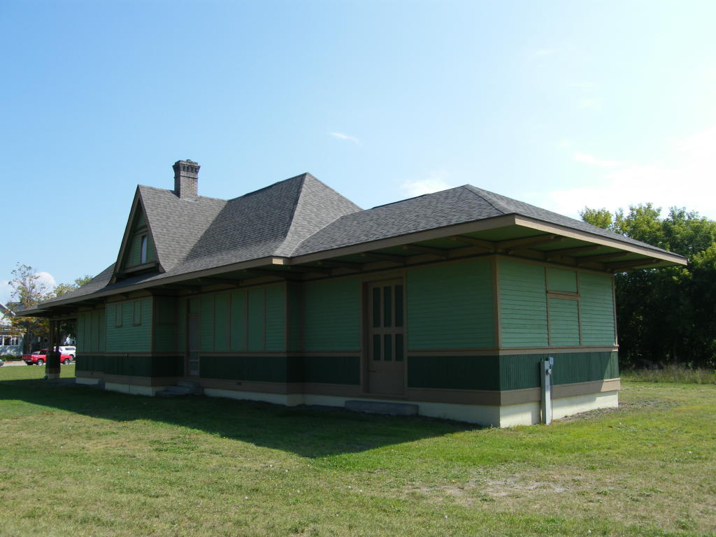
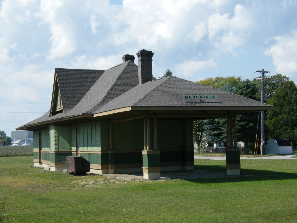
Old Milwaukee Road Depot - Along the truck route on the southeast side of Menominee
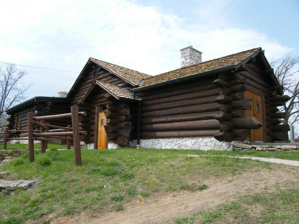
MR Depot - A view of the building with part of the old brick platform showing
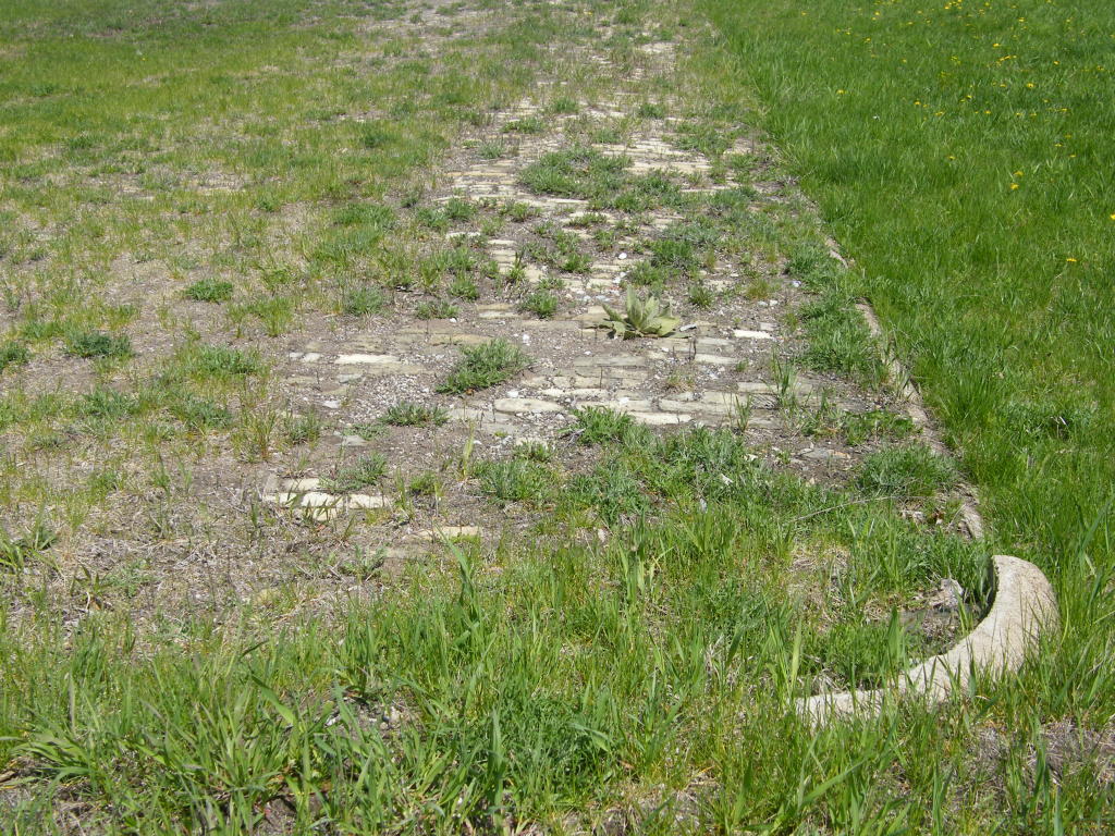
MR Depot - Close-up showing where some of the brick platform still remains
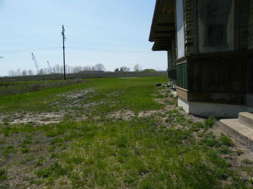
MR Depot - The southwest edge of the old brick platform
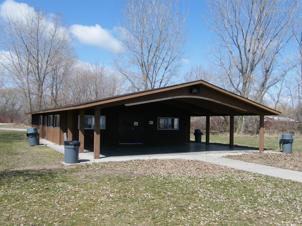
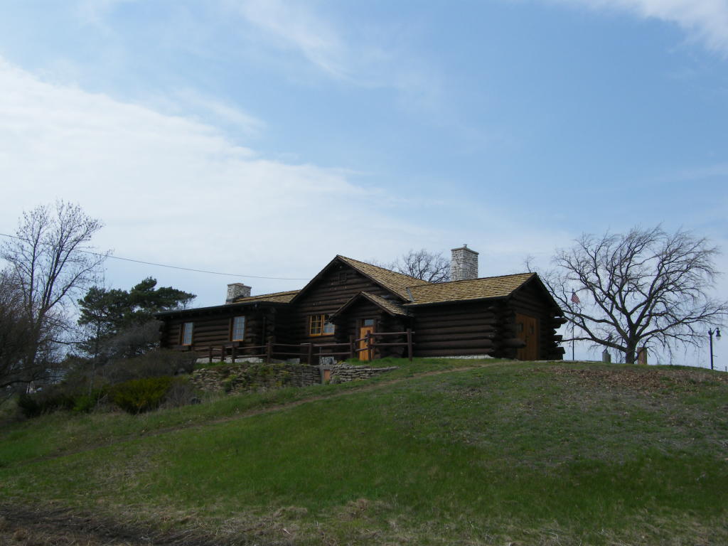
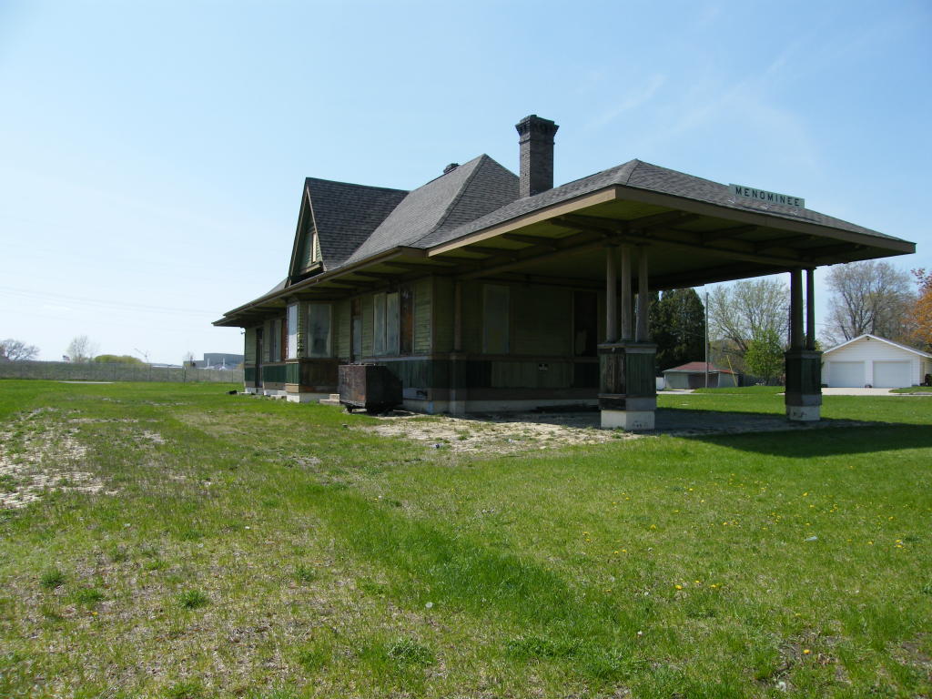
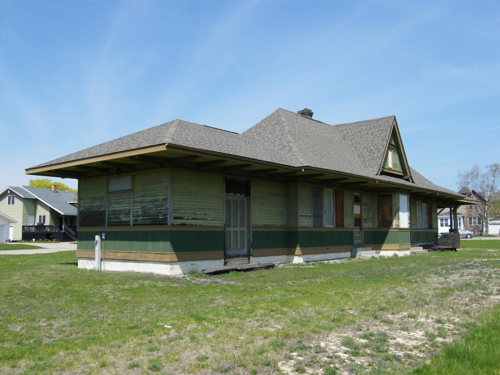
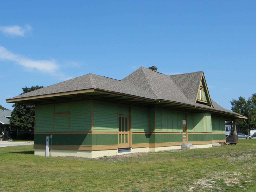
MR Depot - A view of the building from a different angle

MR Depot - Another view of this historic depot
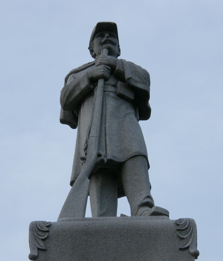
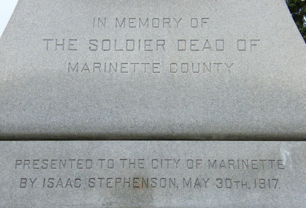
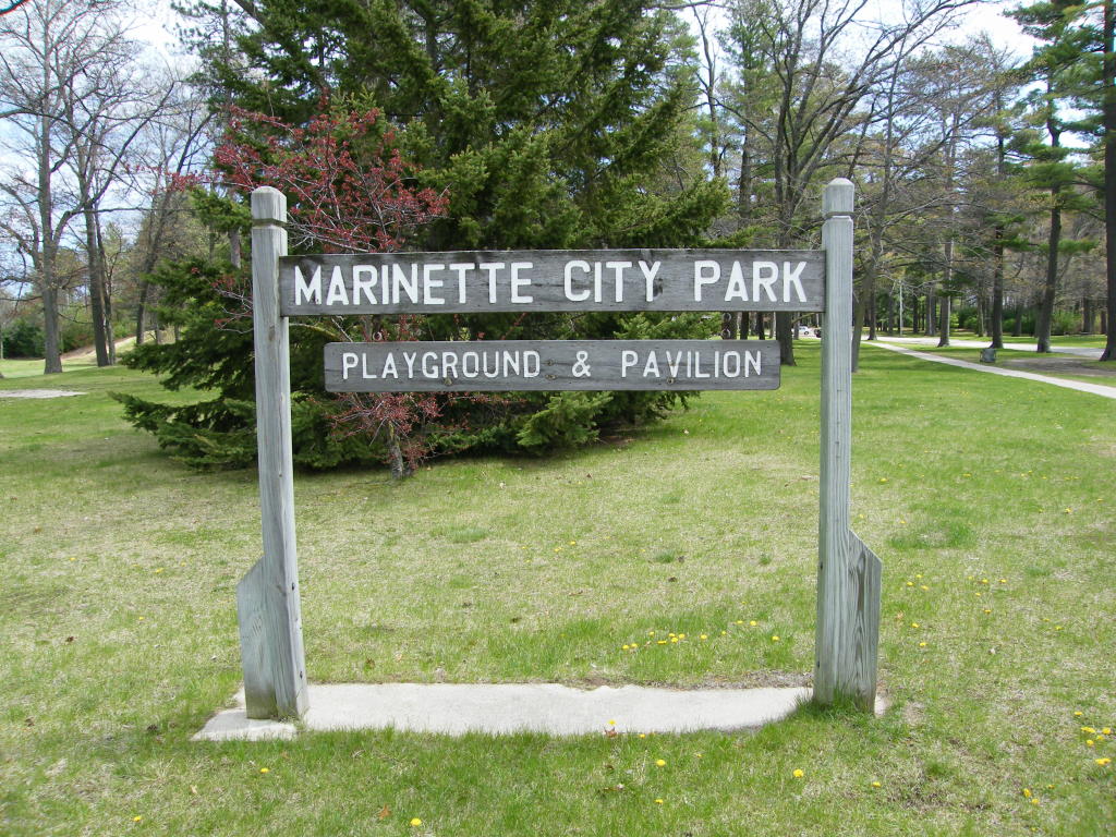
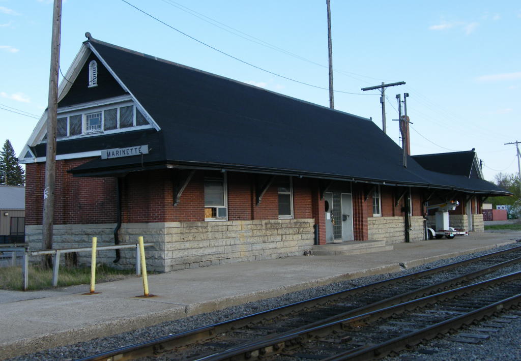
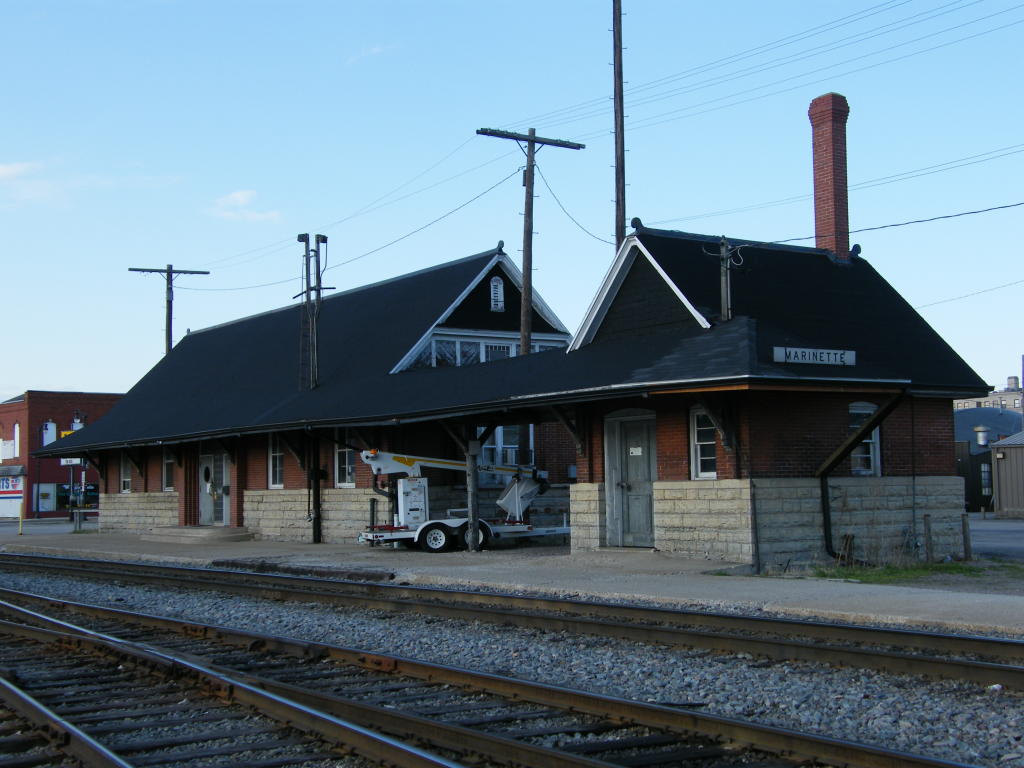
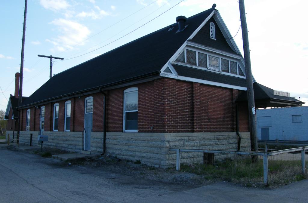
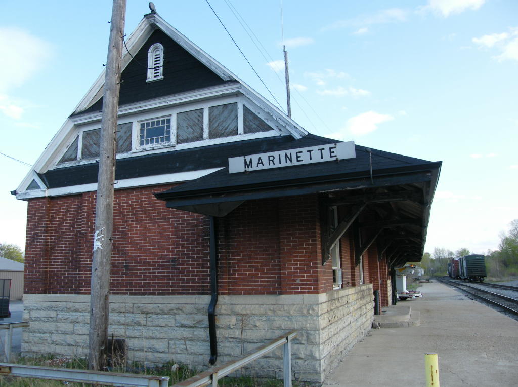
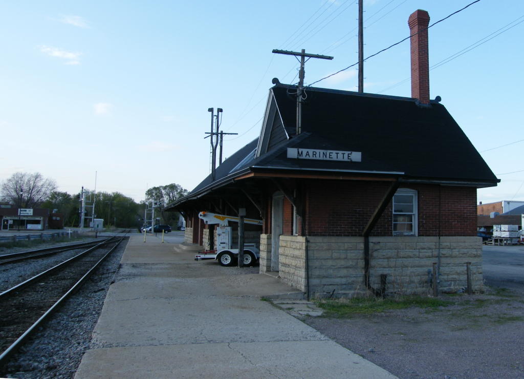
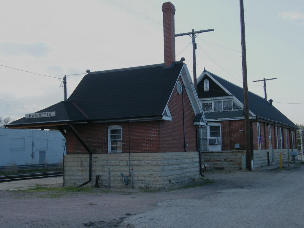
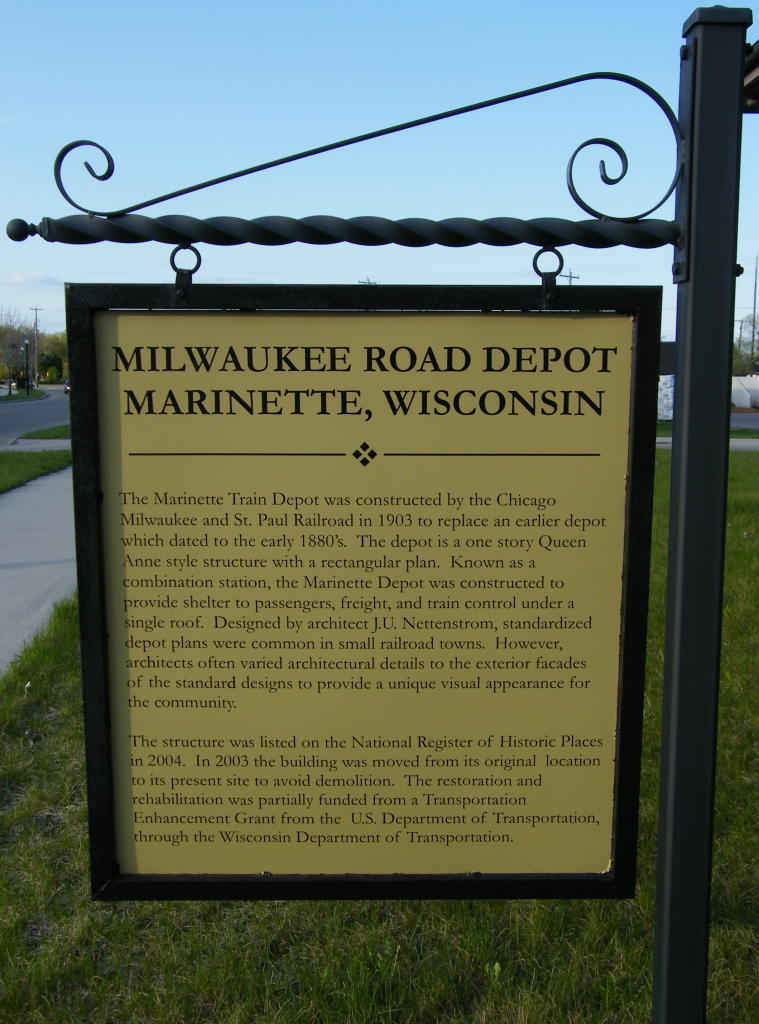
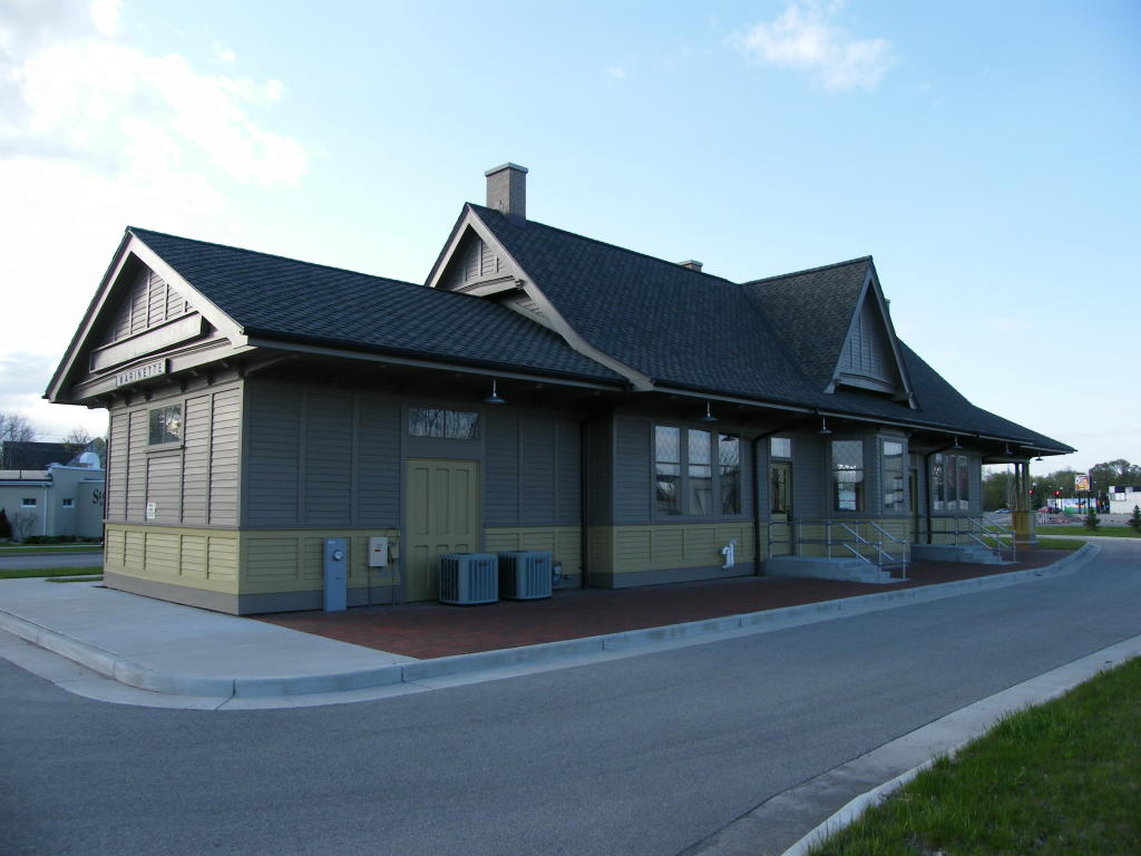
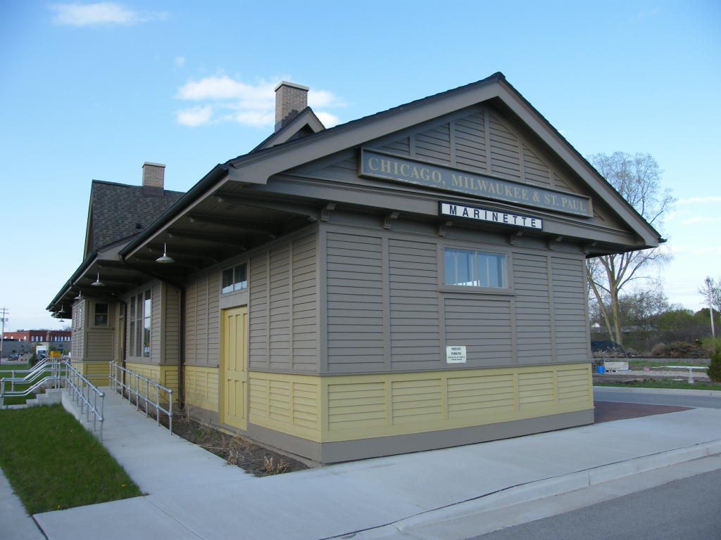
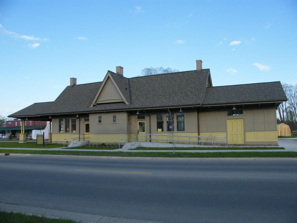
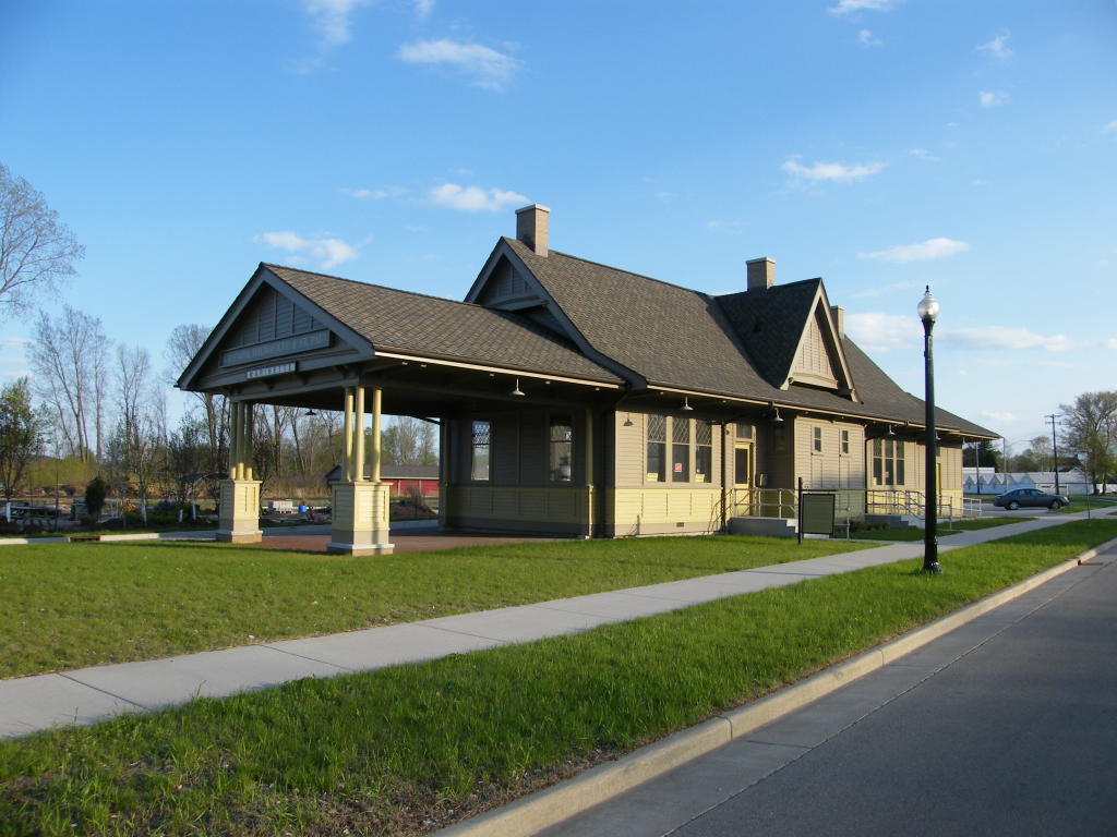
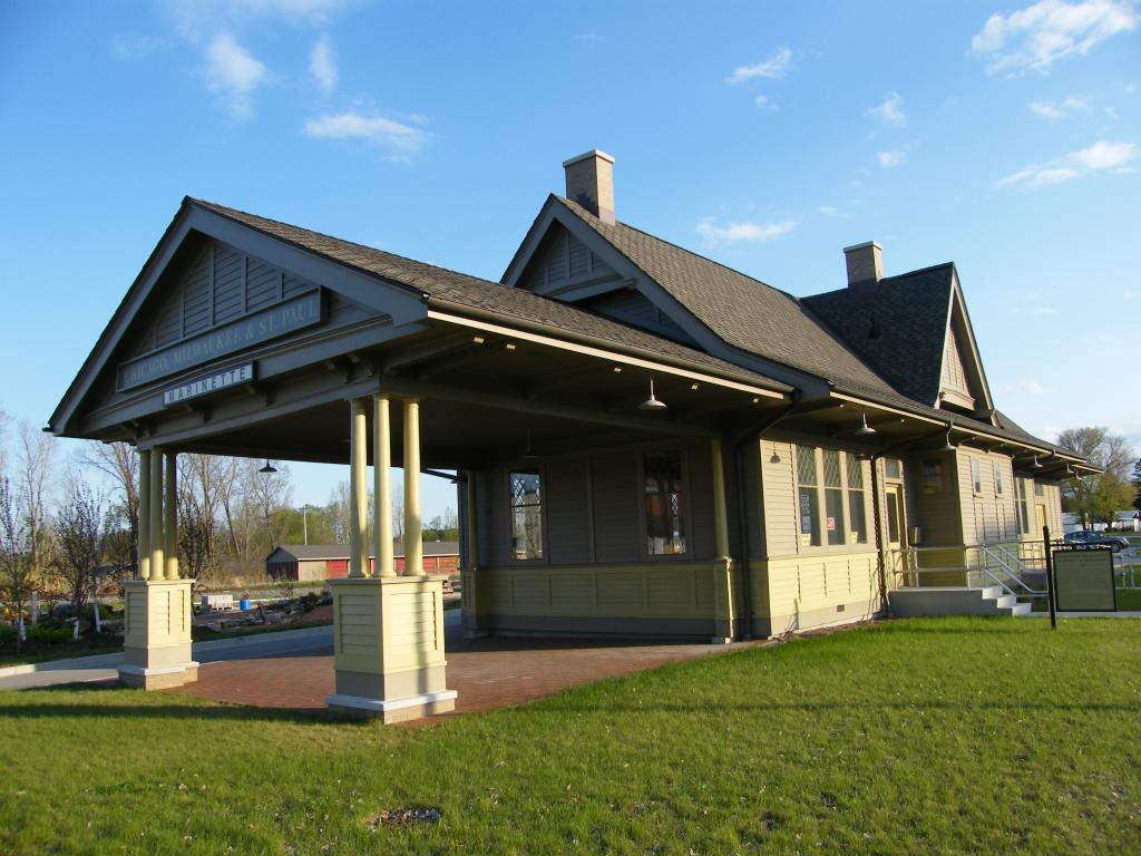
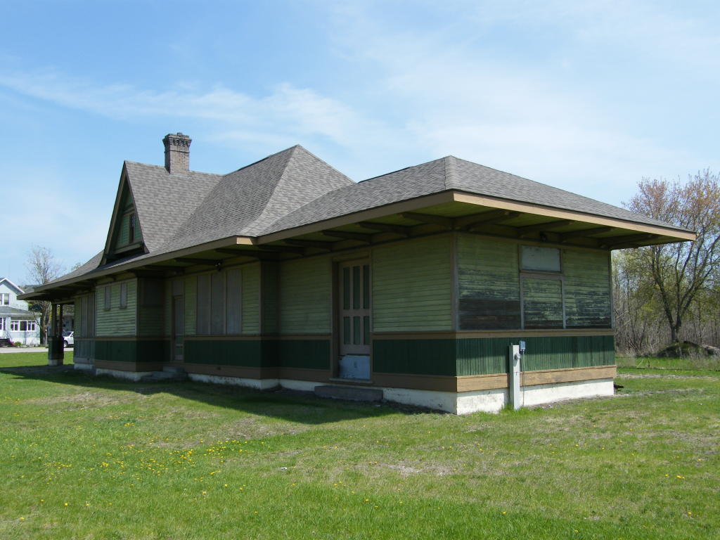
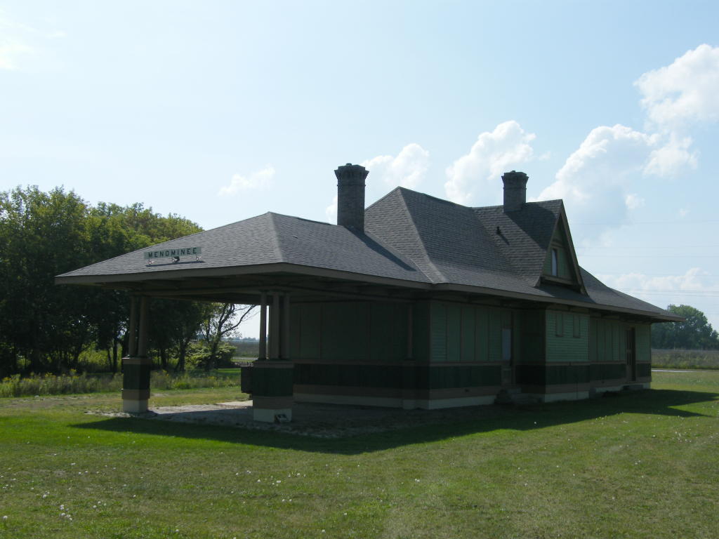
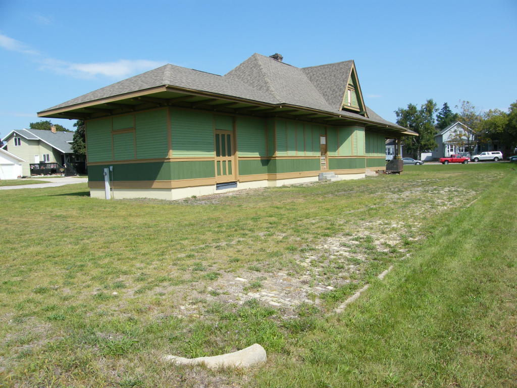
MR Depot - One last view of the classic depot - NOTE: There is a similar depot in Marinette, which has been newly renovated in recent years Click Here to go there
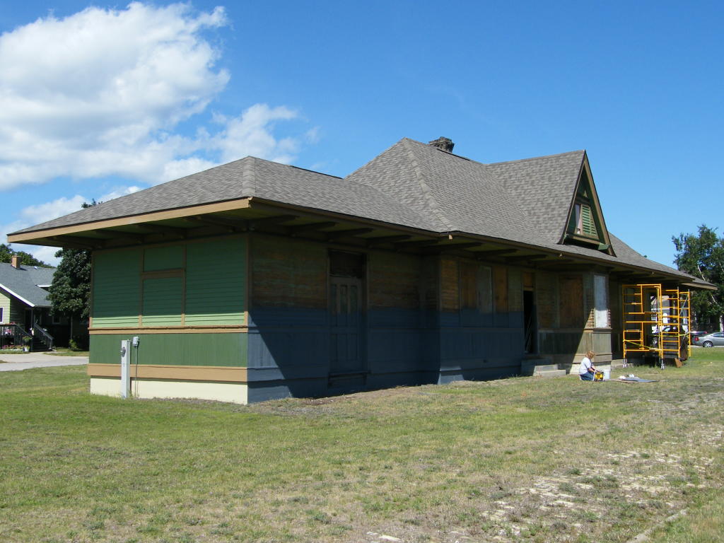
MR Depot - The owner is in the process of renovating the building on Aug. 4, 2009
MR Depot - The west end of the building is repainted and the south side is being worked on
MR Depot - The north side of the old depot will also get a touch-up

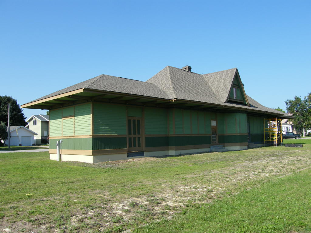
MR Depot - The painting is progressing and the building is looking good on Aug. 12, 2009
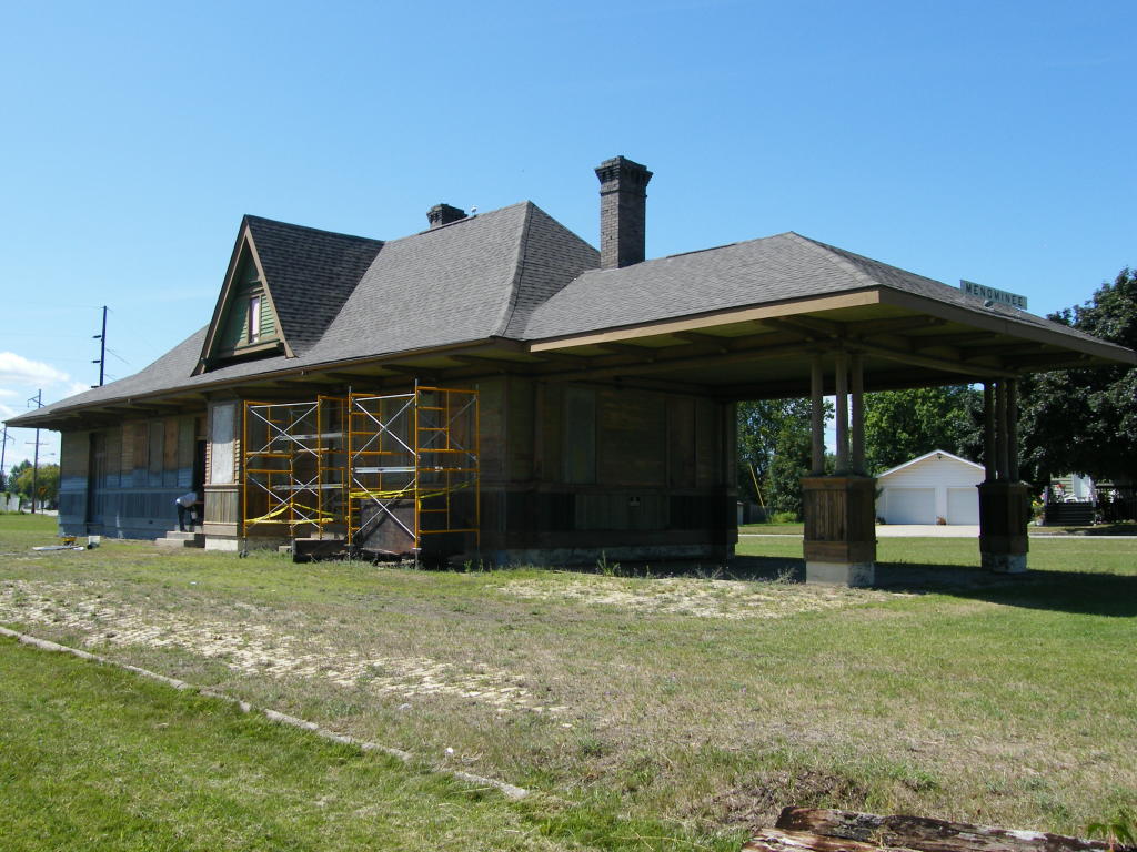
MR Depot - On Sept.11, I walked around the building photographing it starting with the northeast corner.
MR Depot - The outside restoration is almost complete.
MR Depot - The owner has put a lot of time into this project.
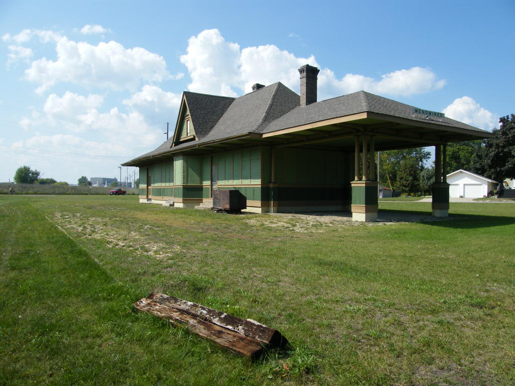
MR Depot - A view from the southwest showing the building and the old platform

MR Depot - Looking at the building and platform from the other end of the platform
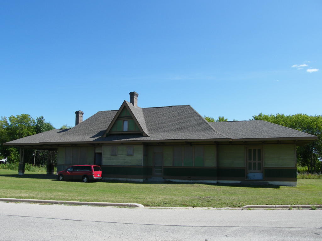
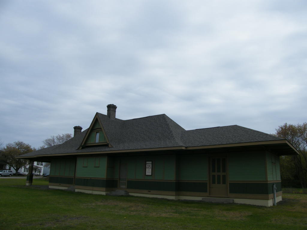
MR Depot - Close-up of the newly re-painted Milwaukee Road Depot
MR Depot - A view of the west side of the newly painted building with a "For Sale" sign displayed
MR Depot - Close-up of the "For Sale" sign


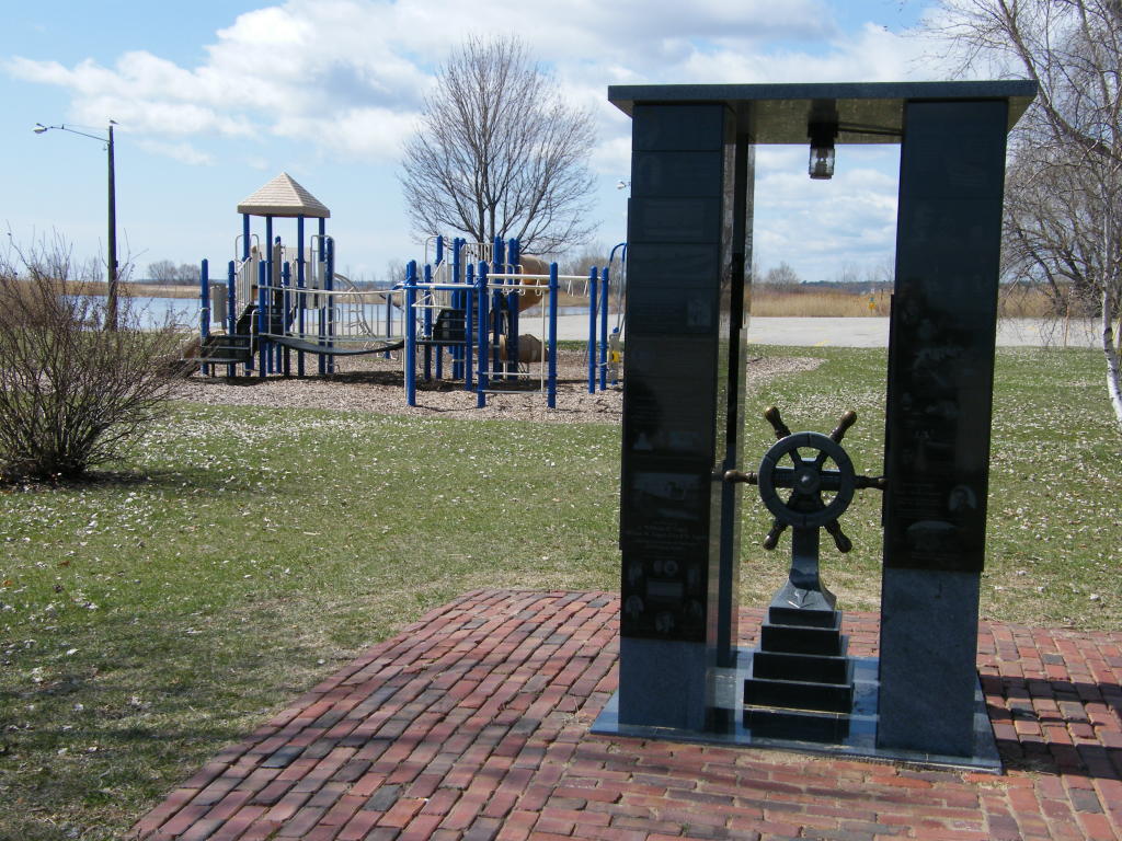
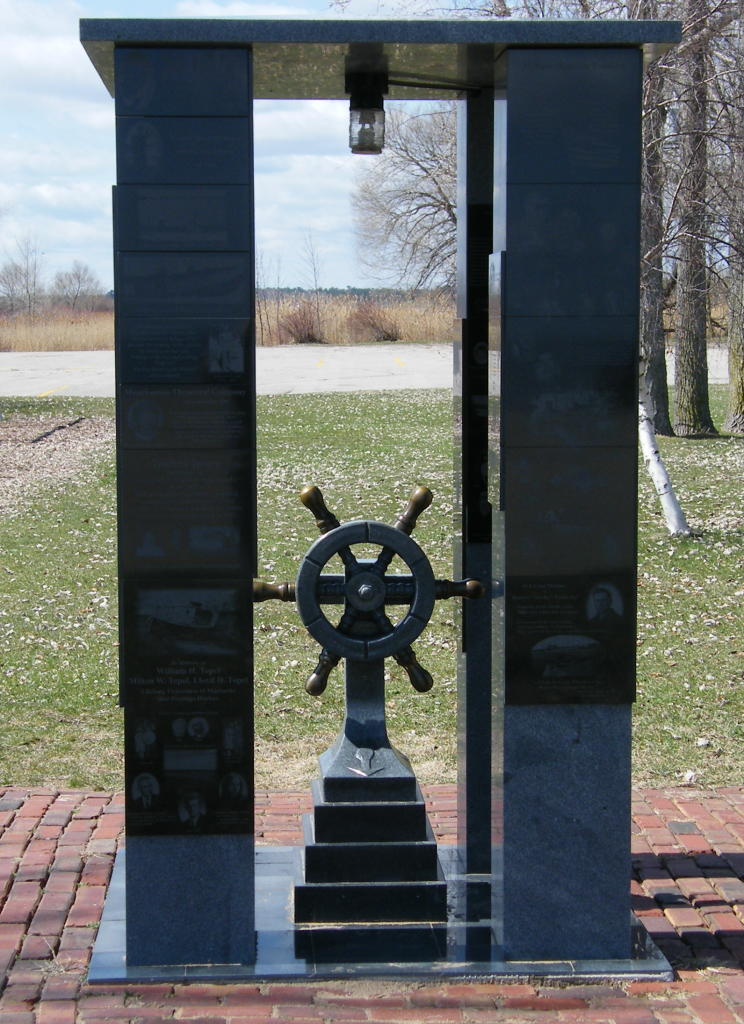
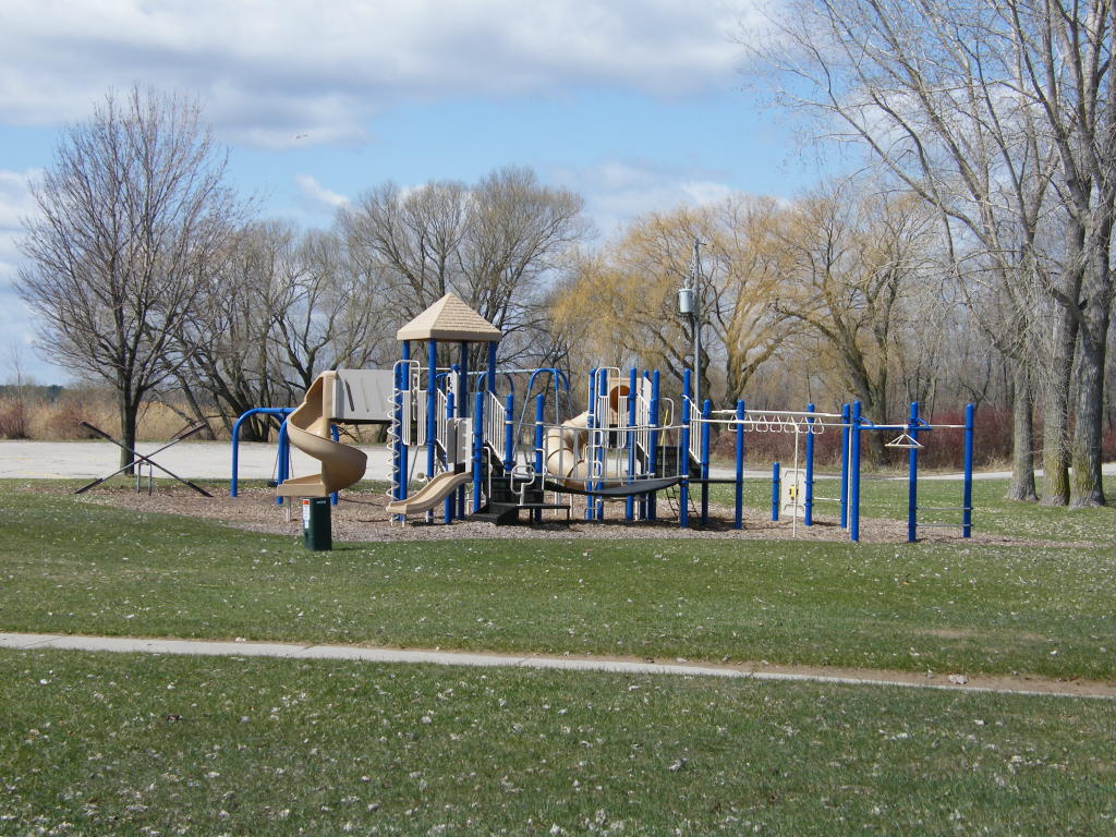
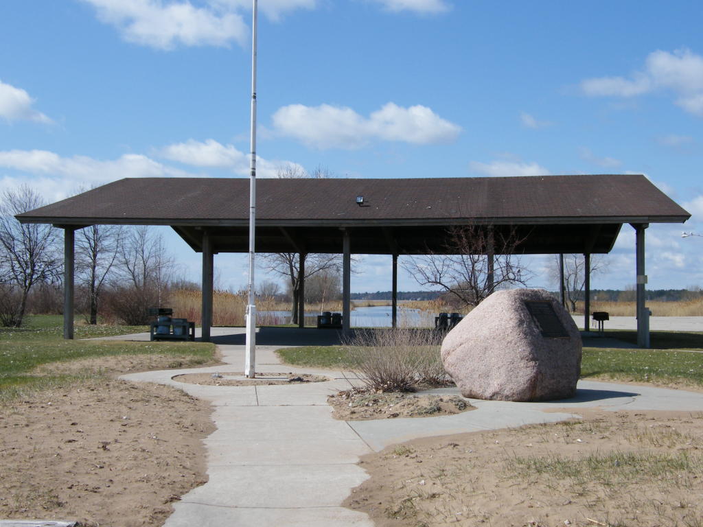
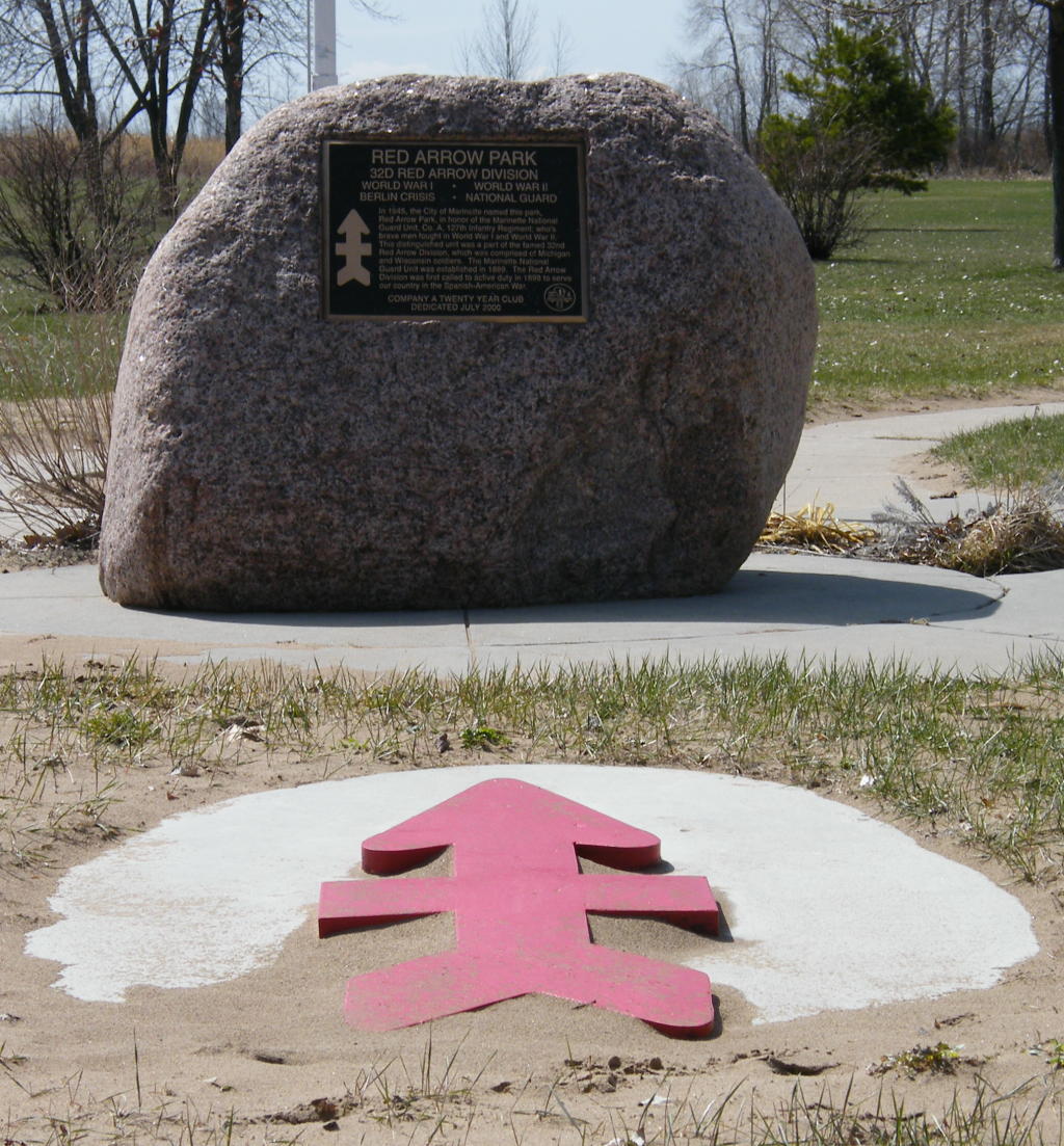
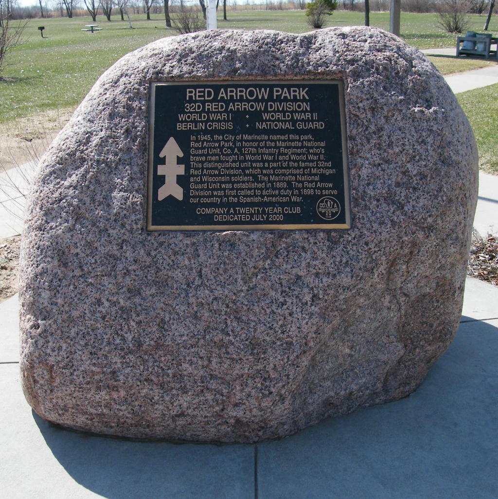
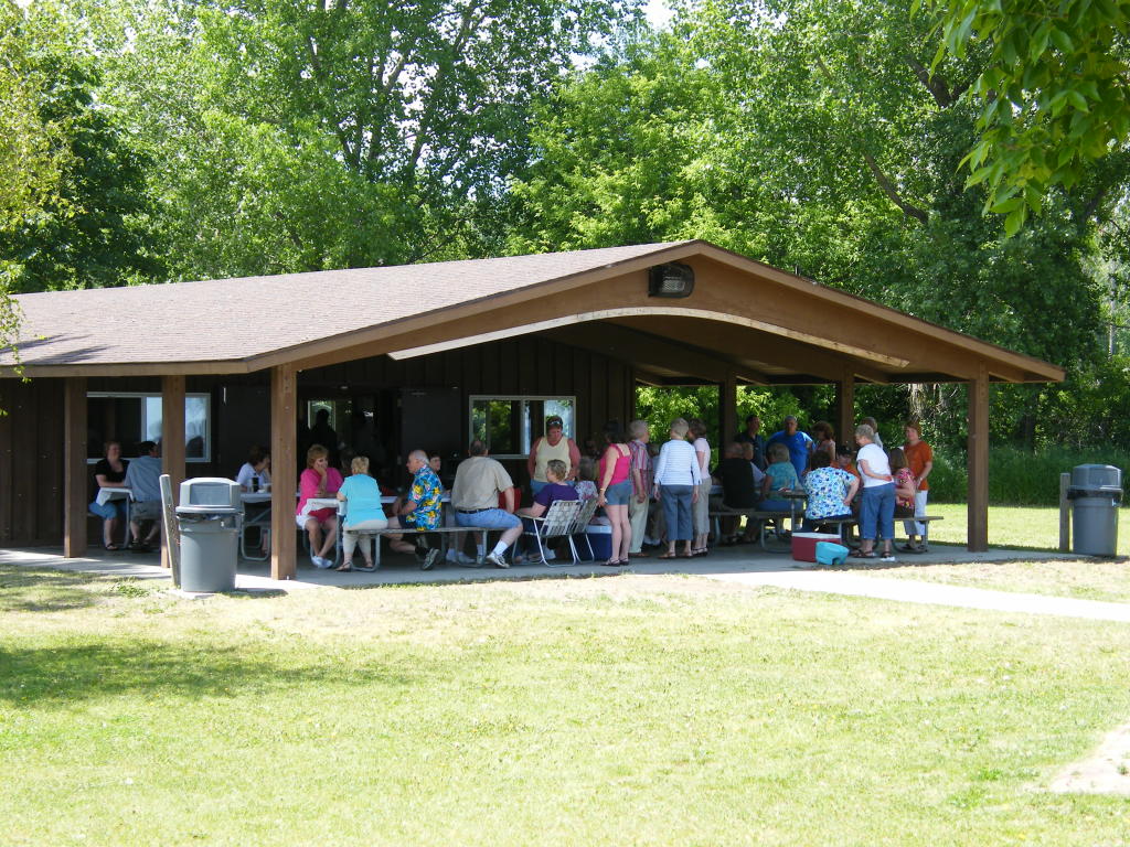
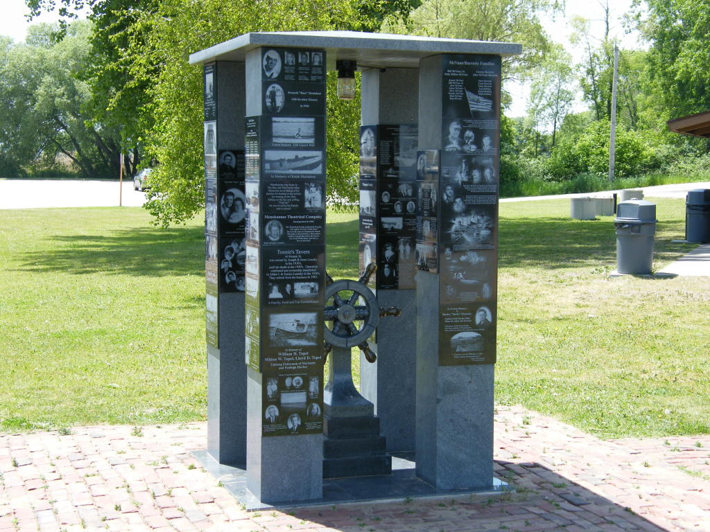
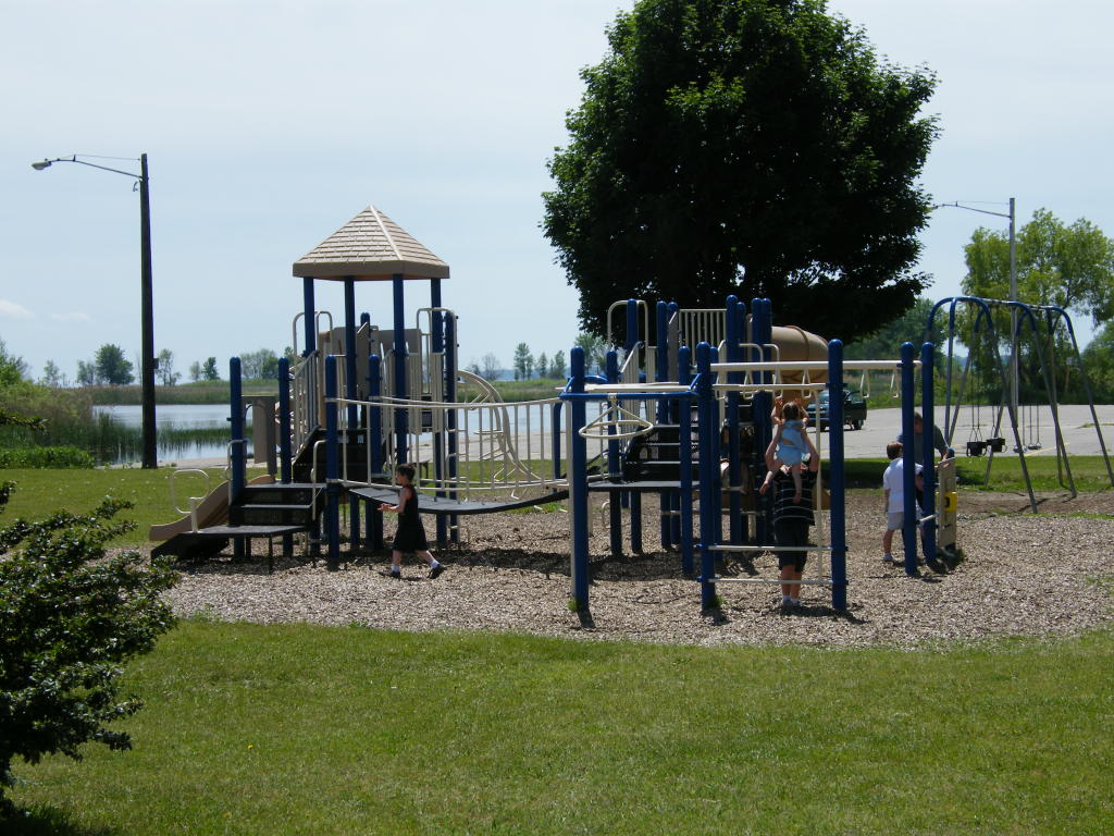
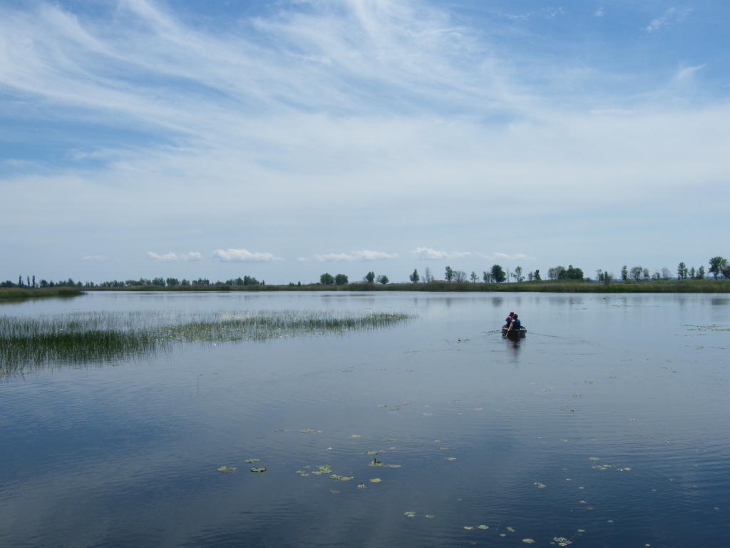
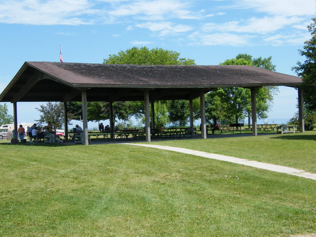
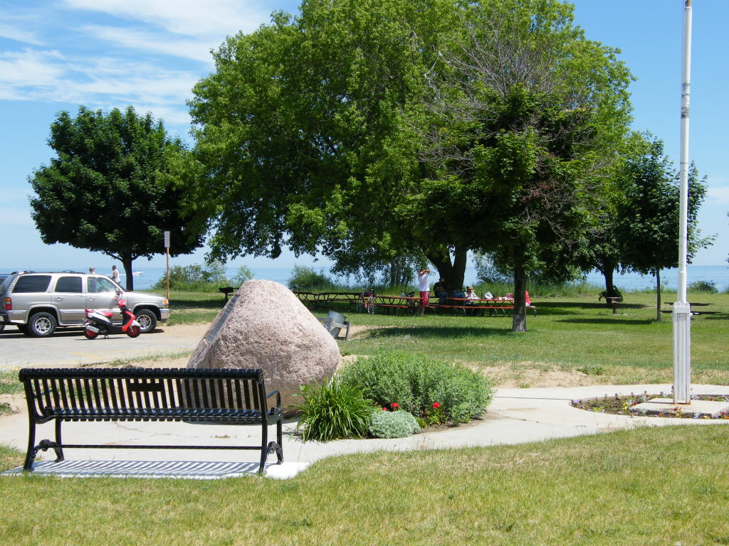
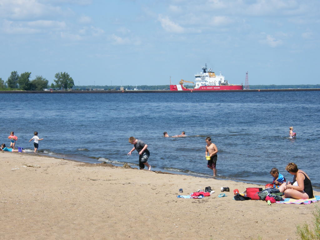
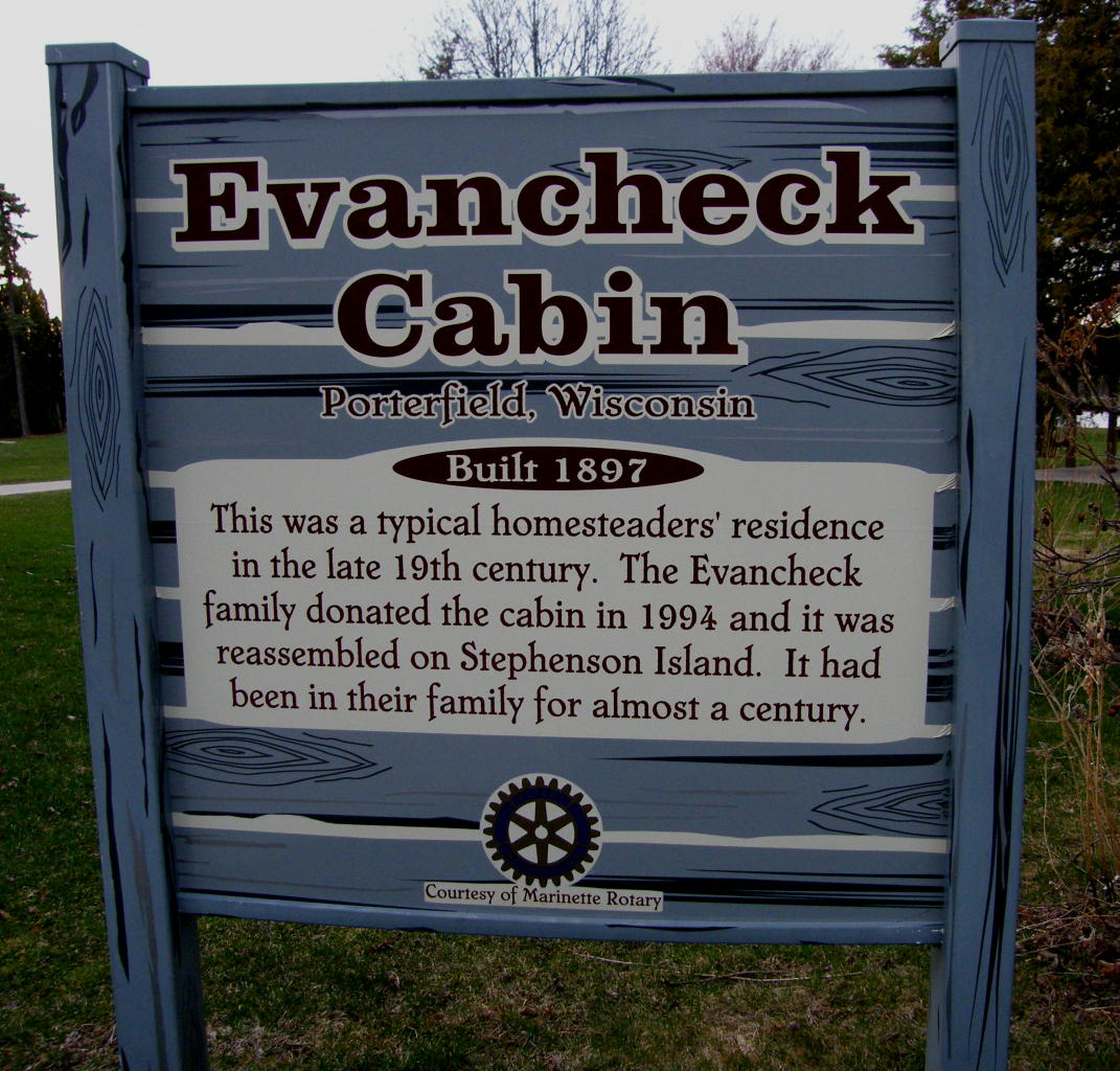
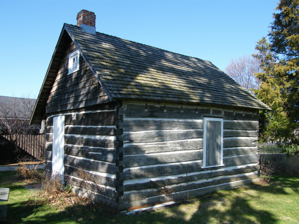
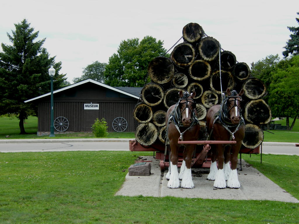
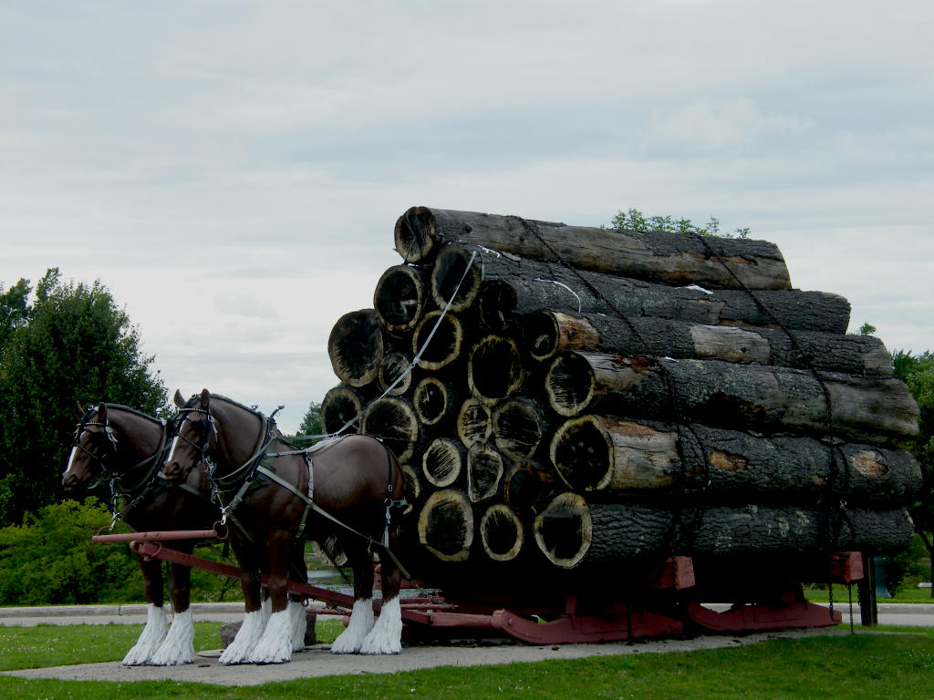
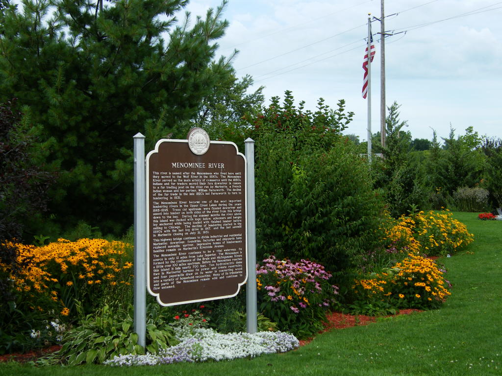
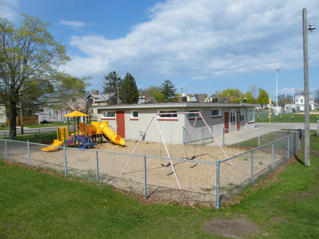
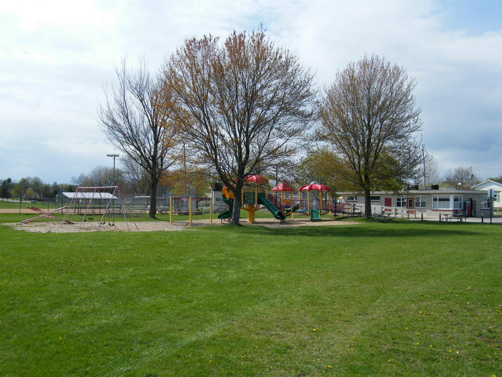
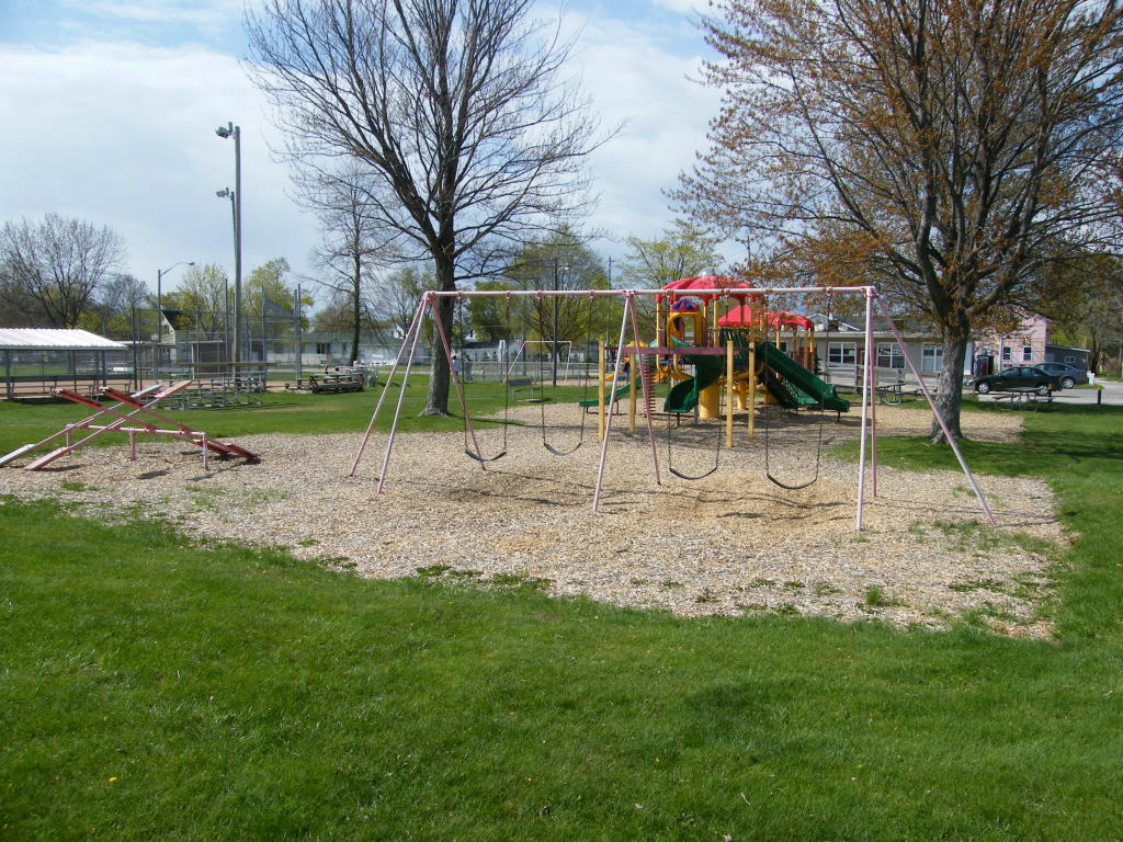
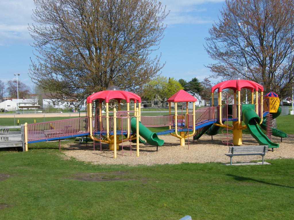
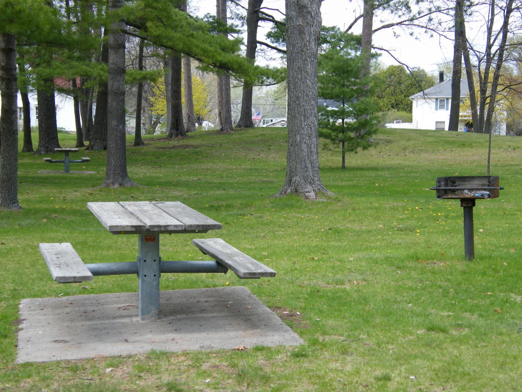
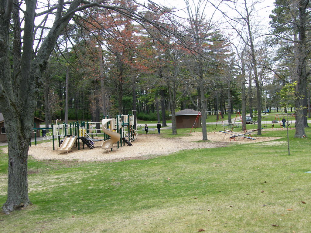
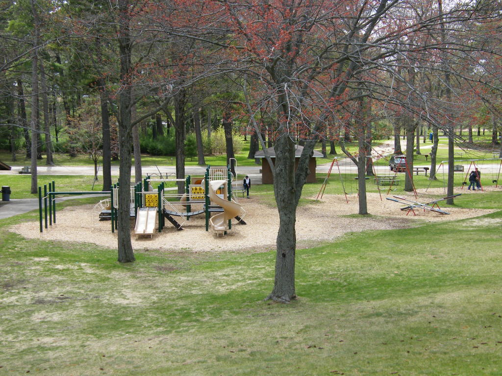
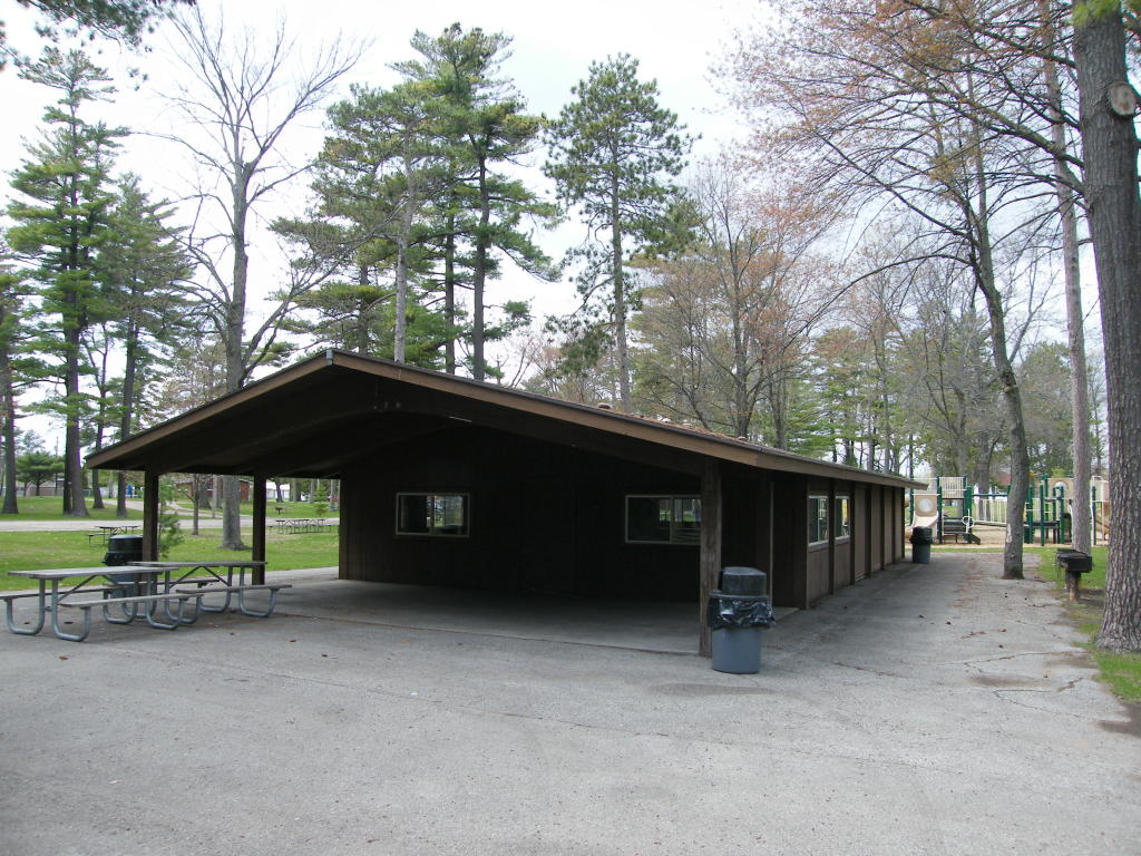
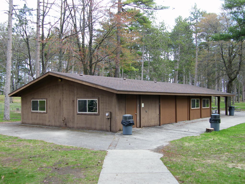
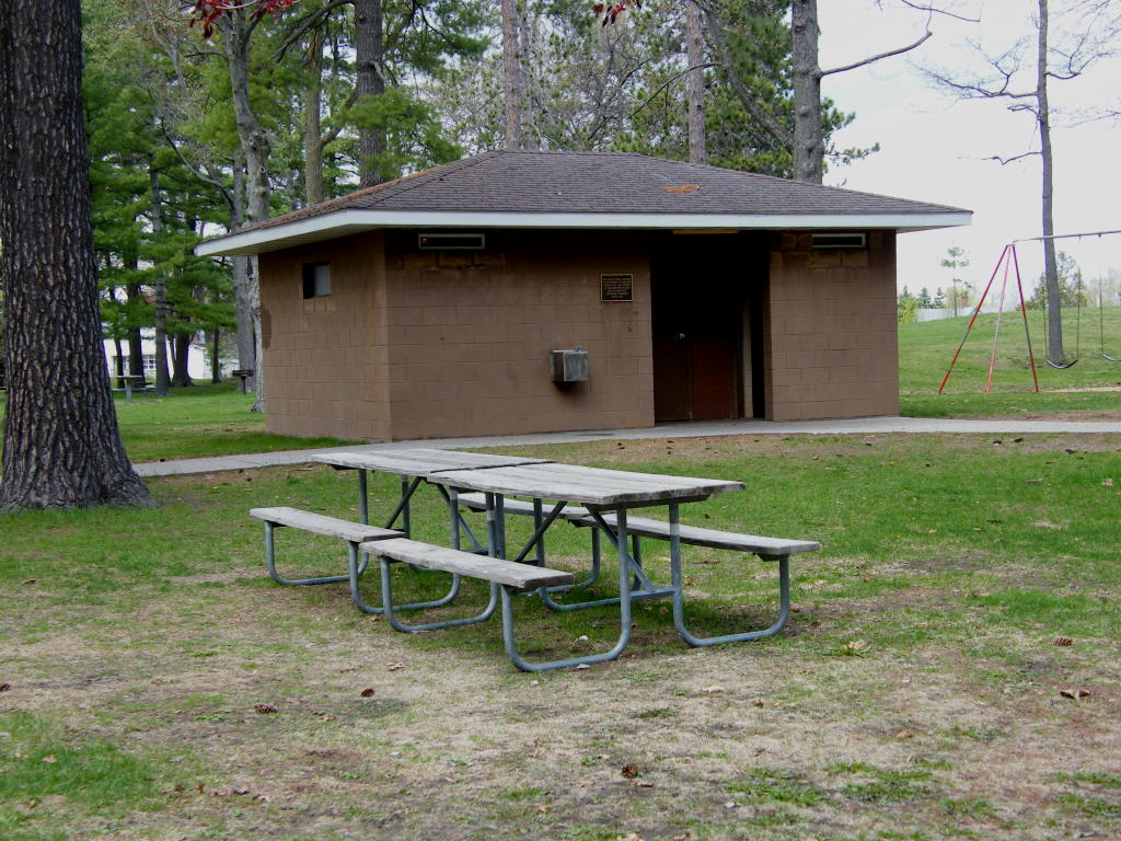
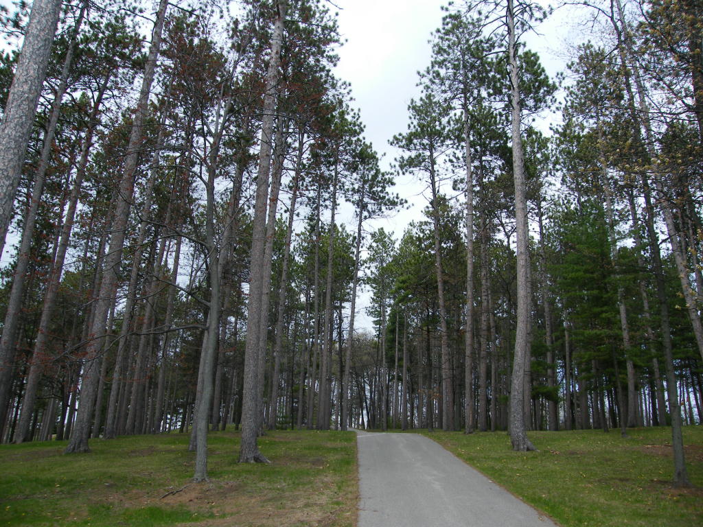
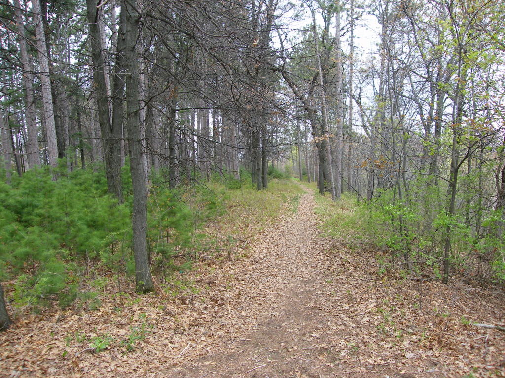
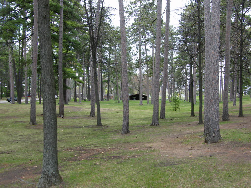
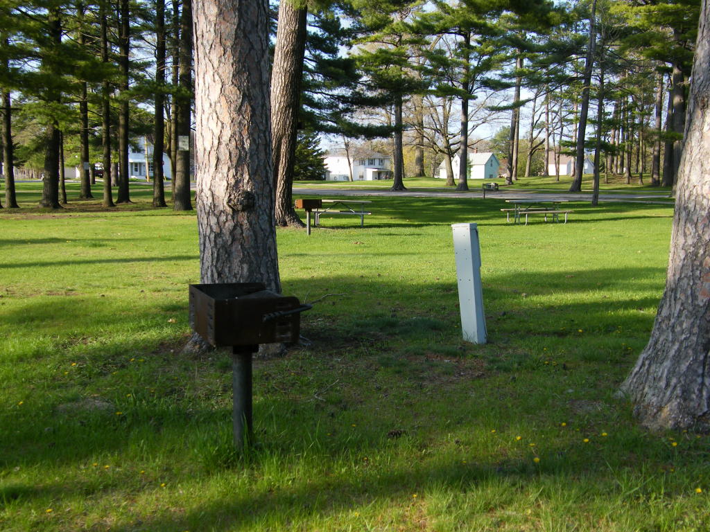
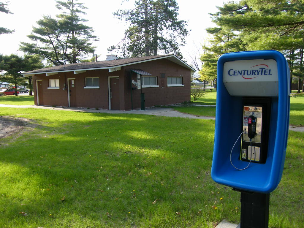
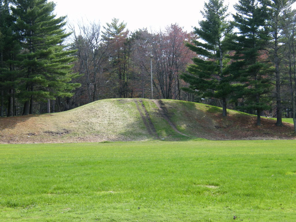
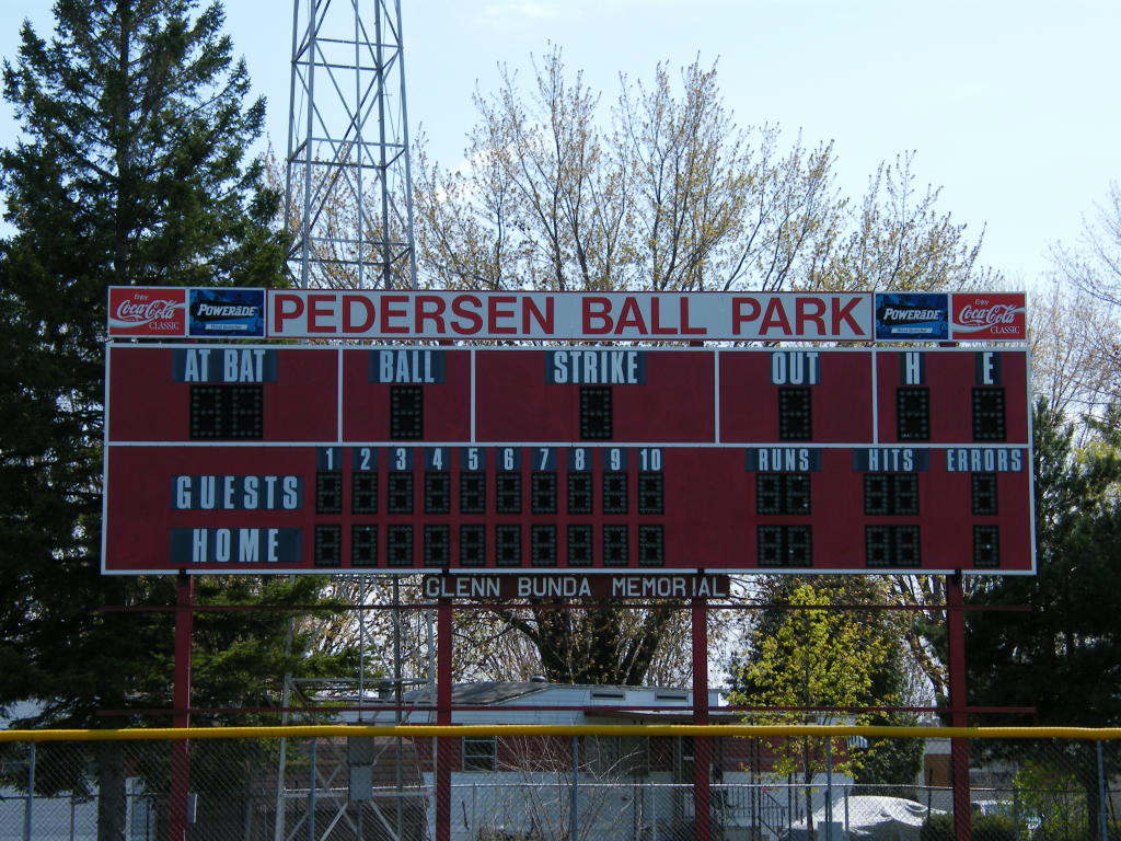
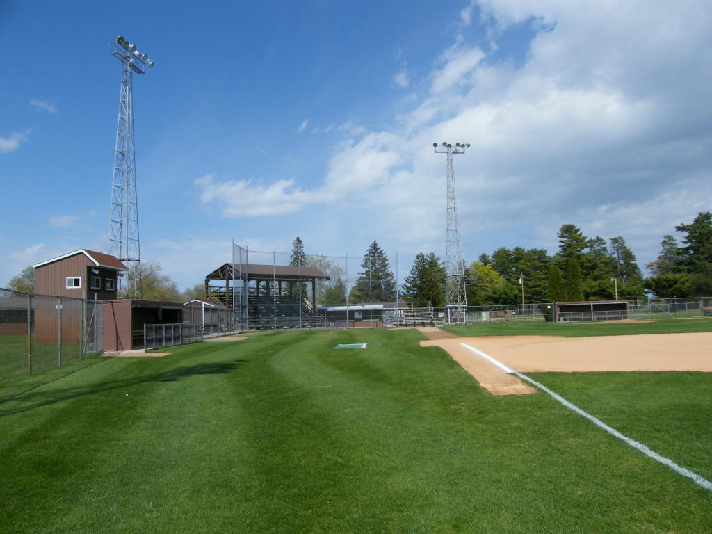
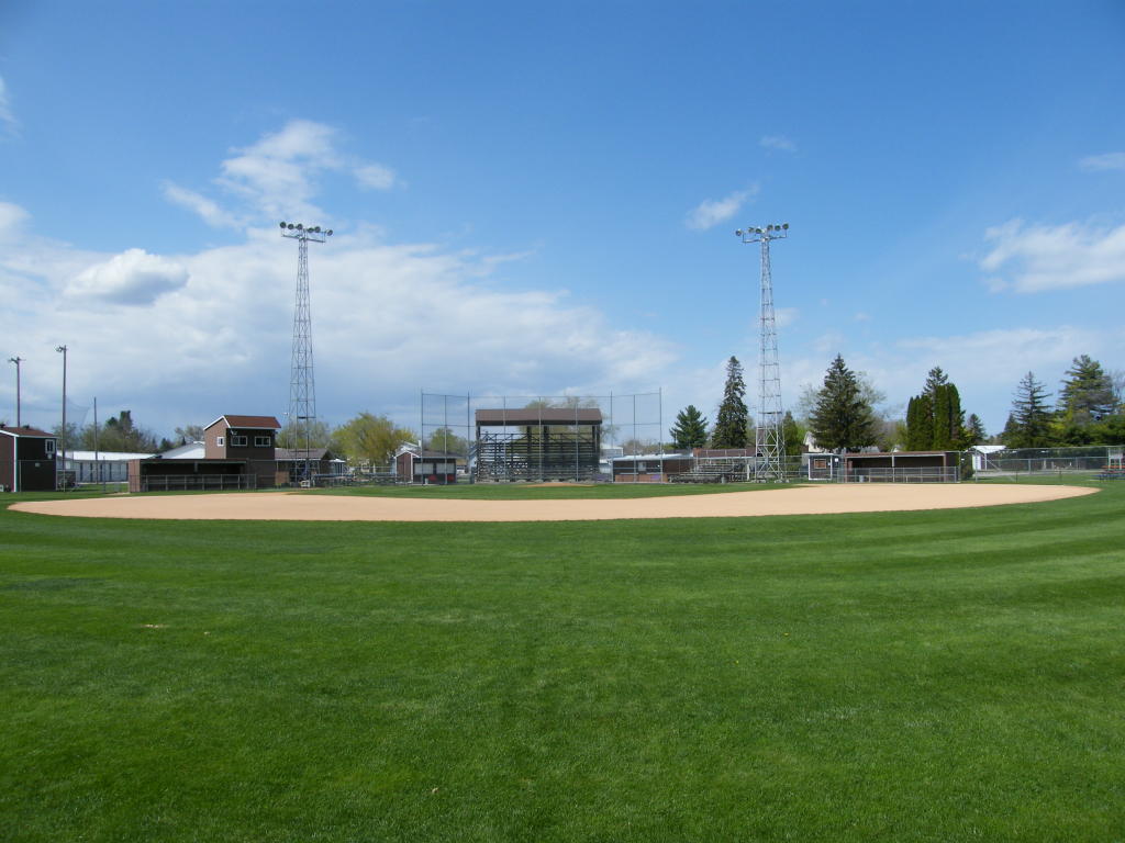
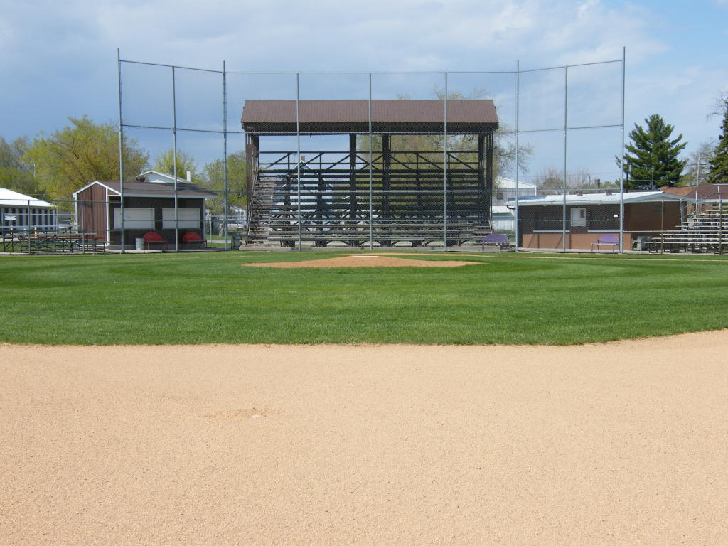
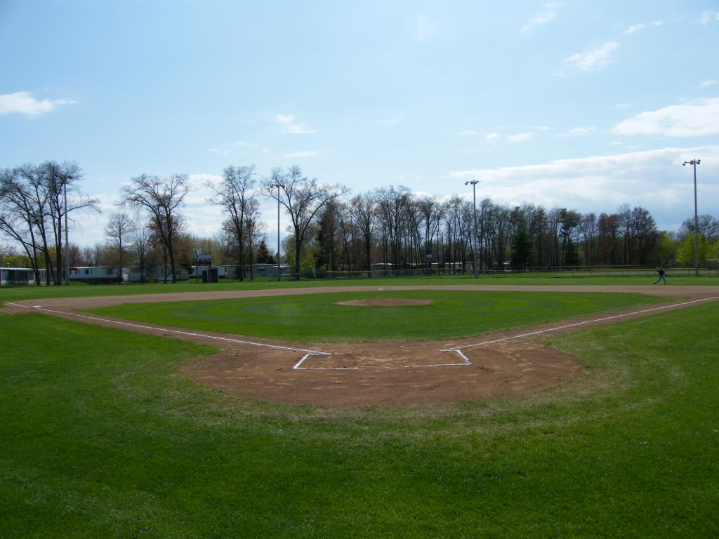
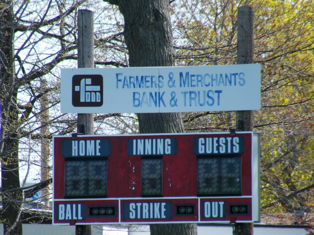
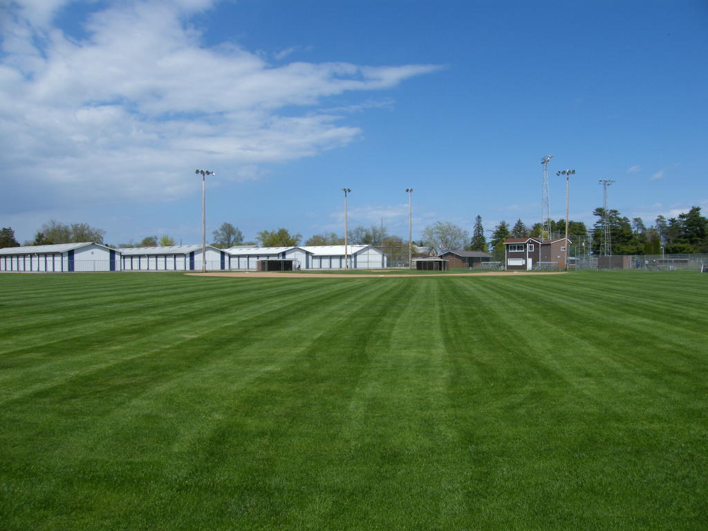
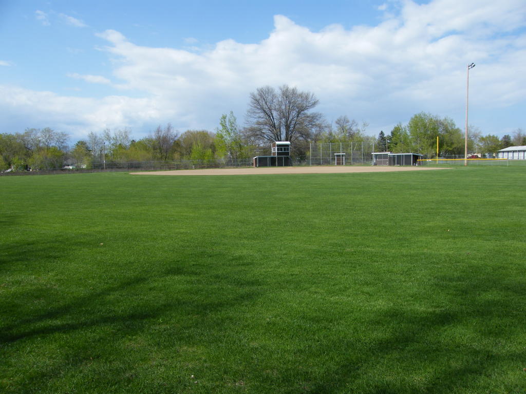
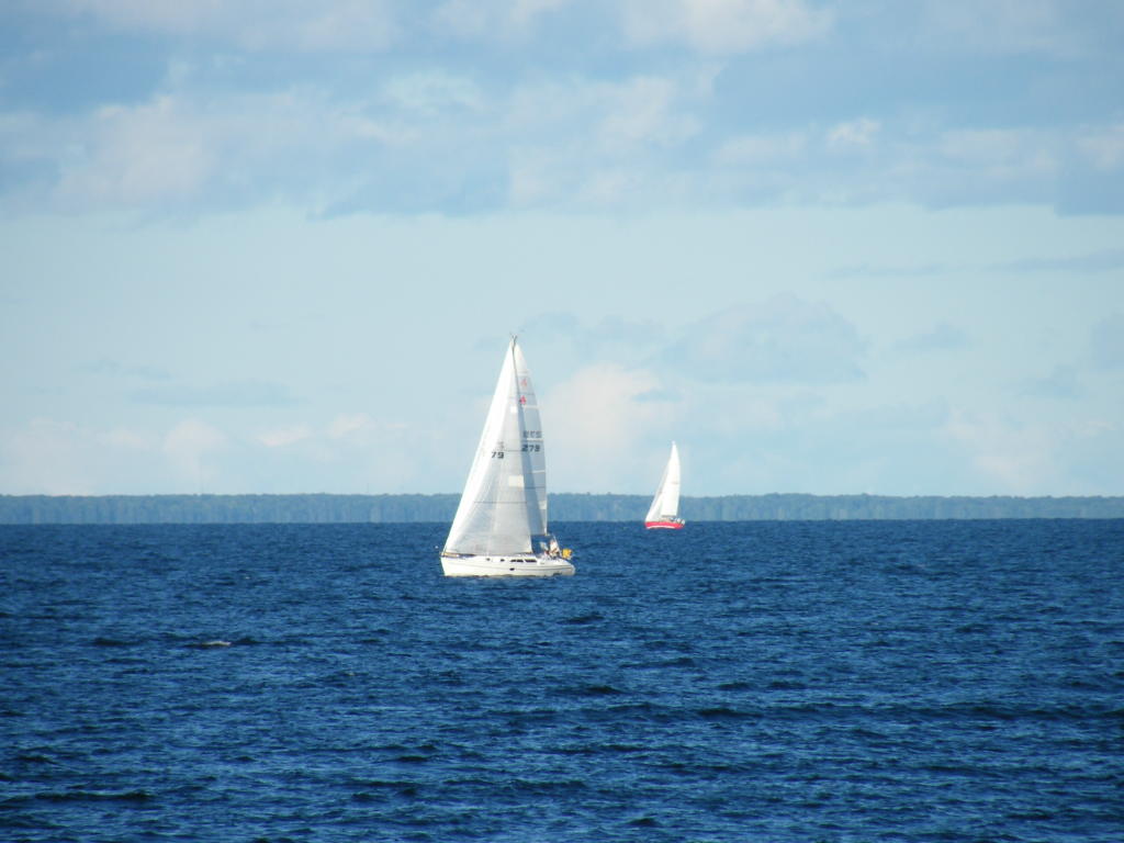
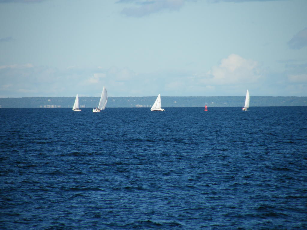
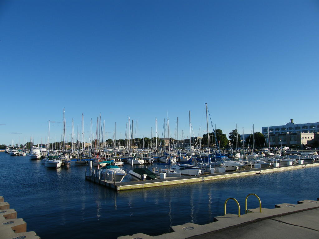
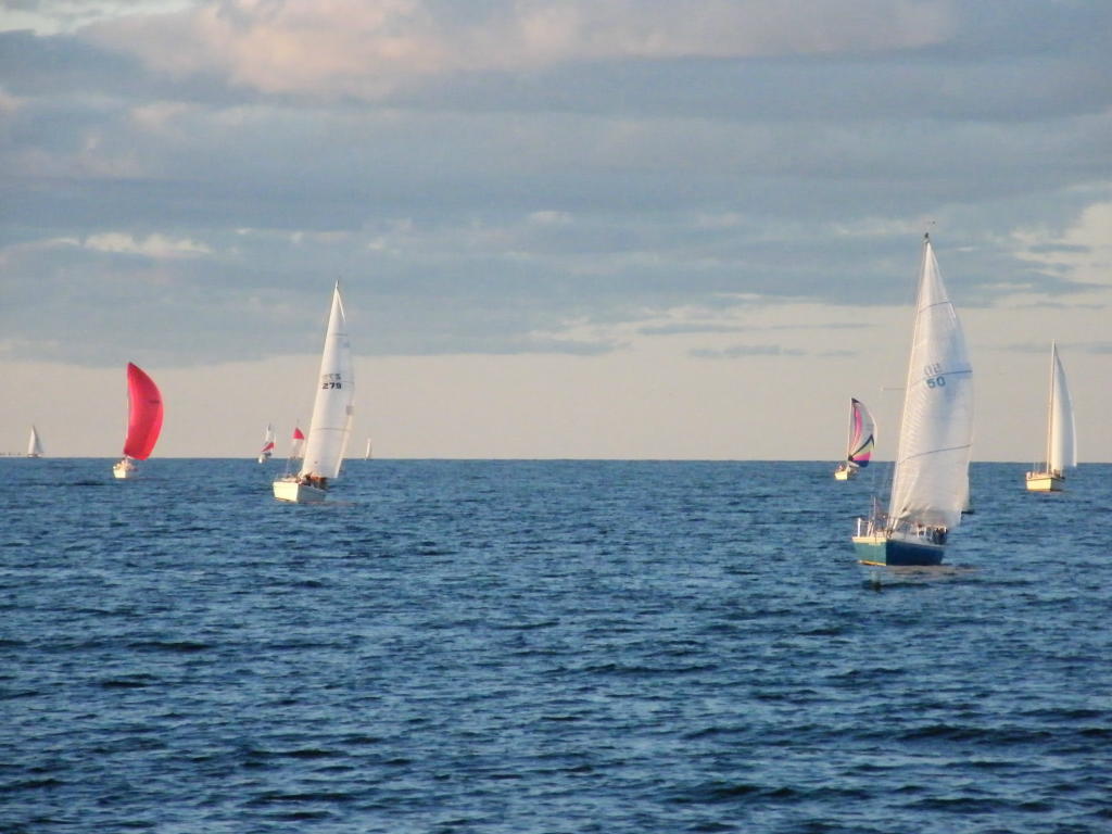
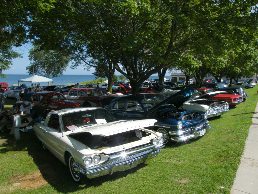
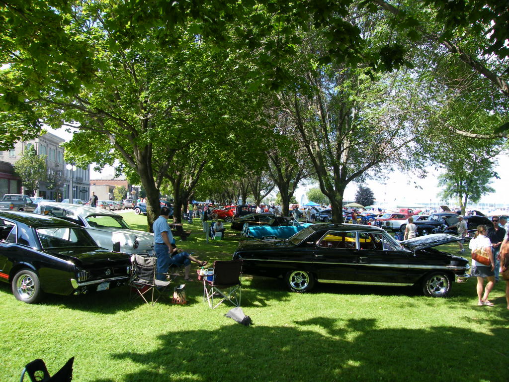
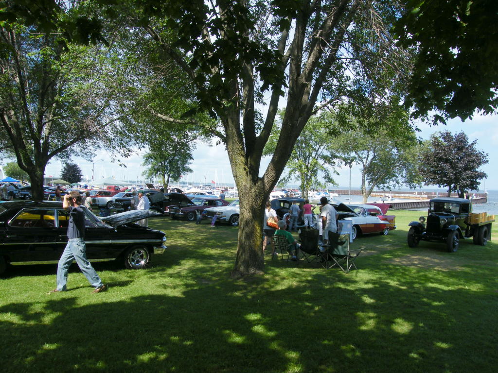
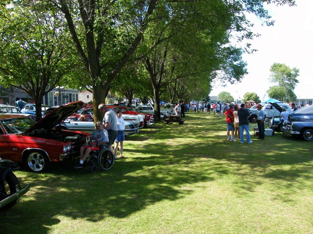
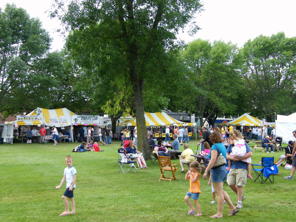
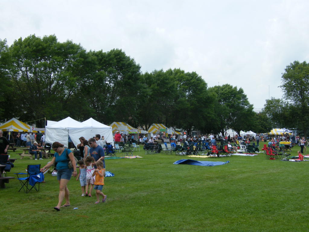
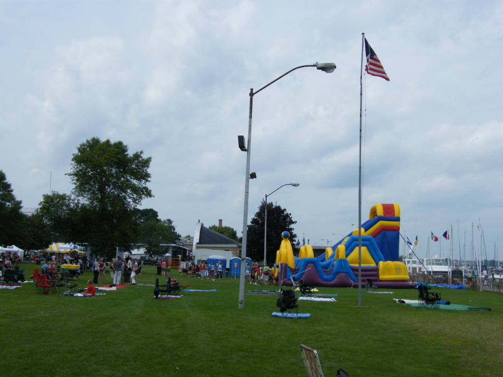
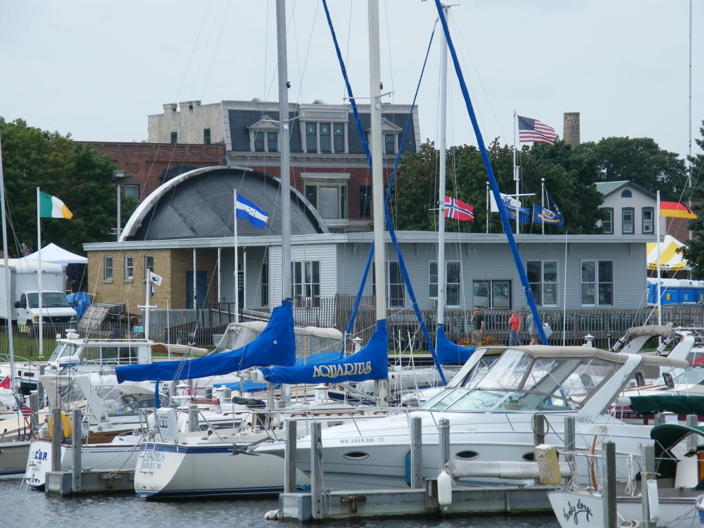
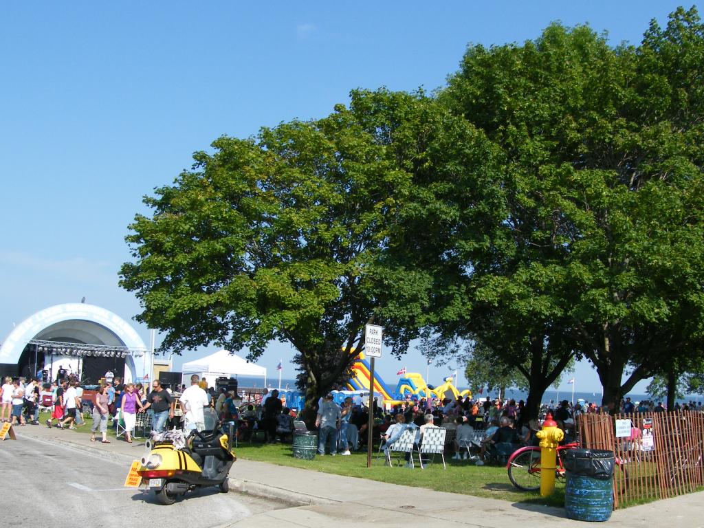
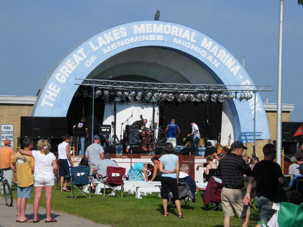
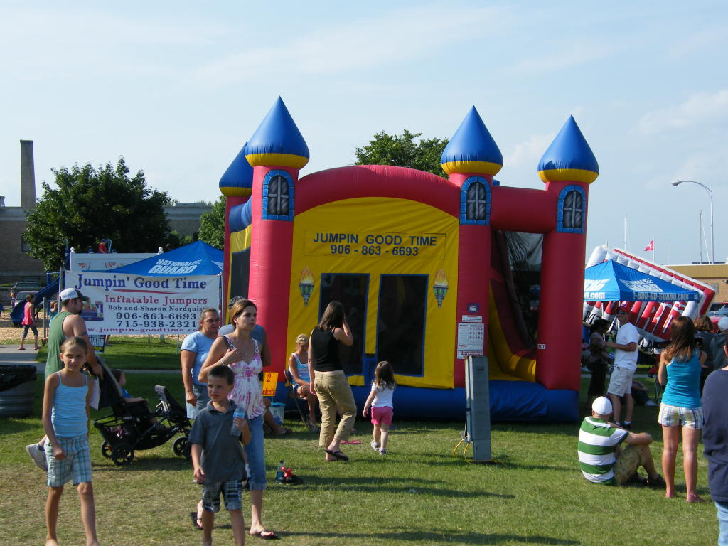
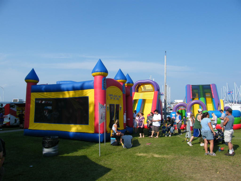
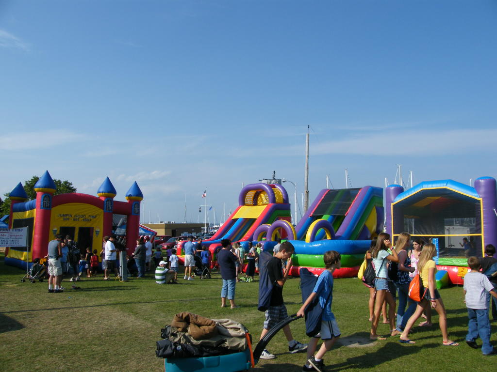
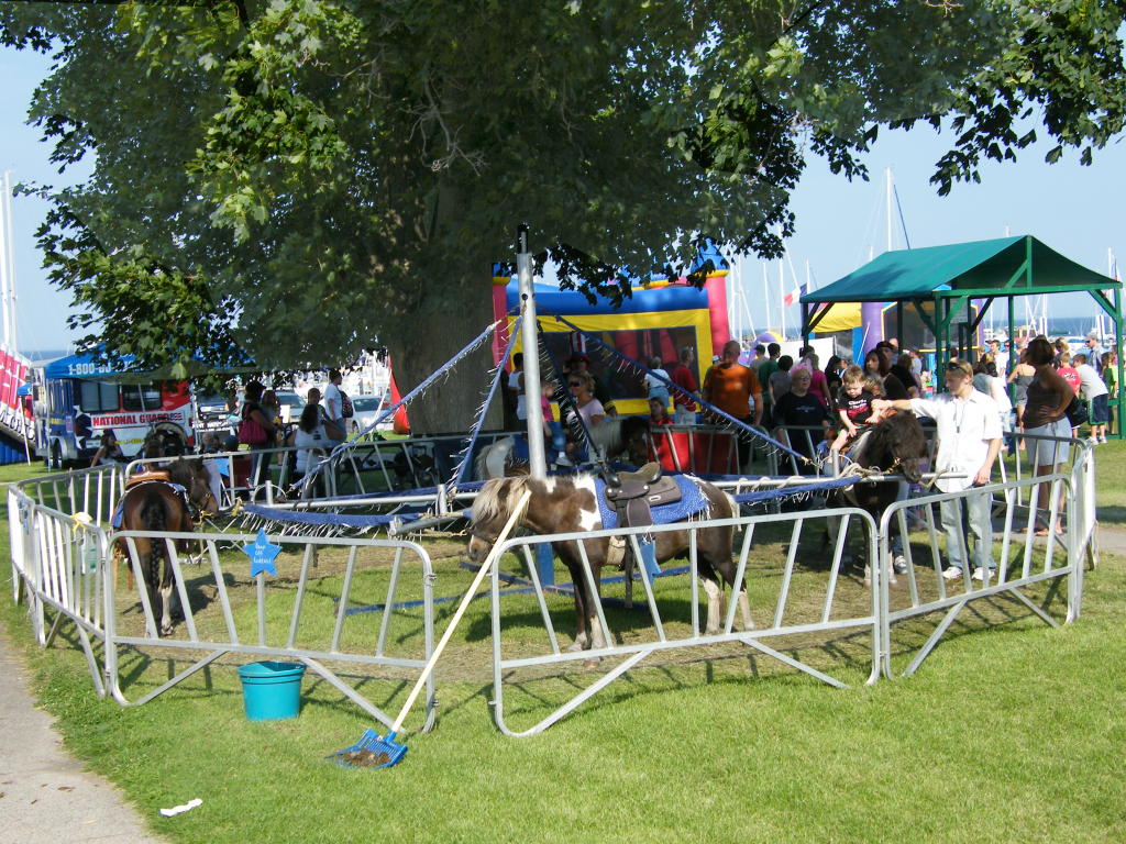
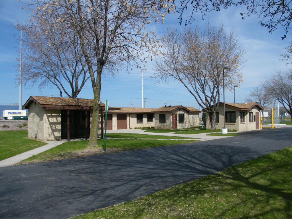
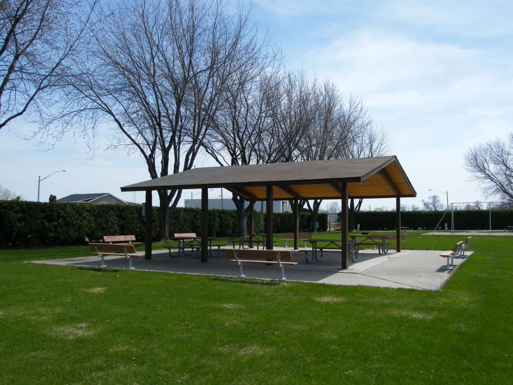
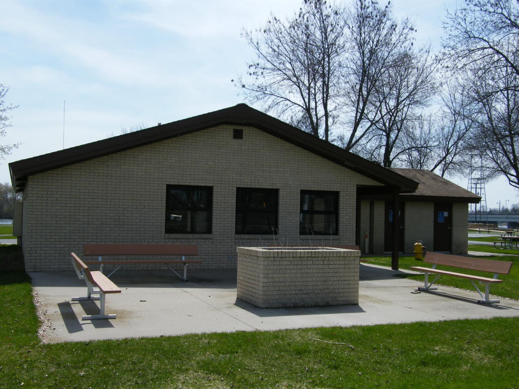
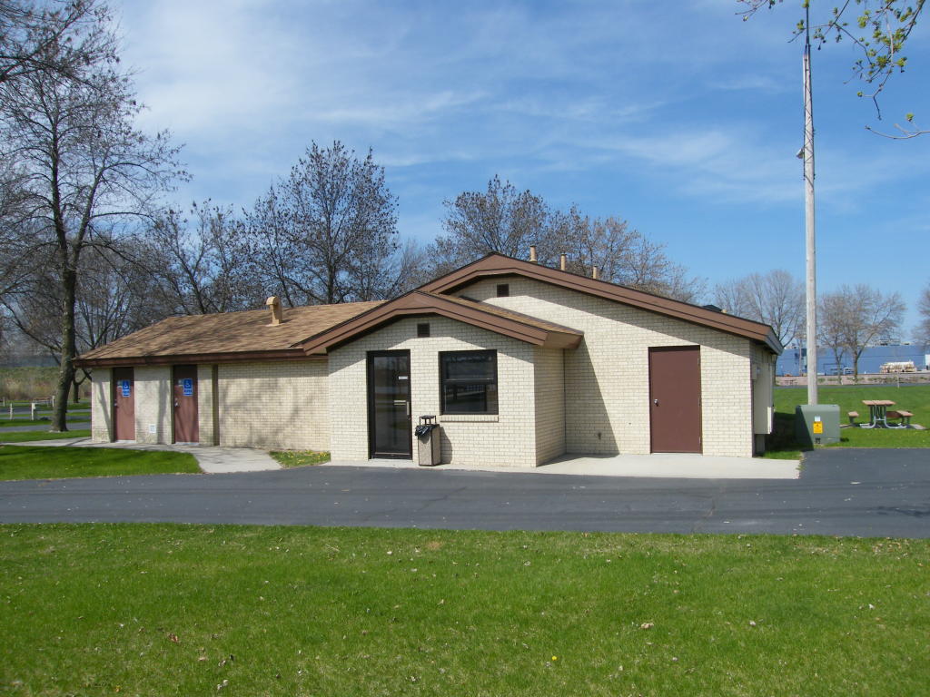
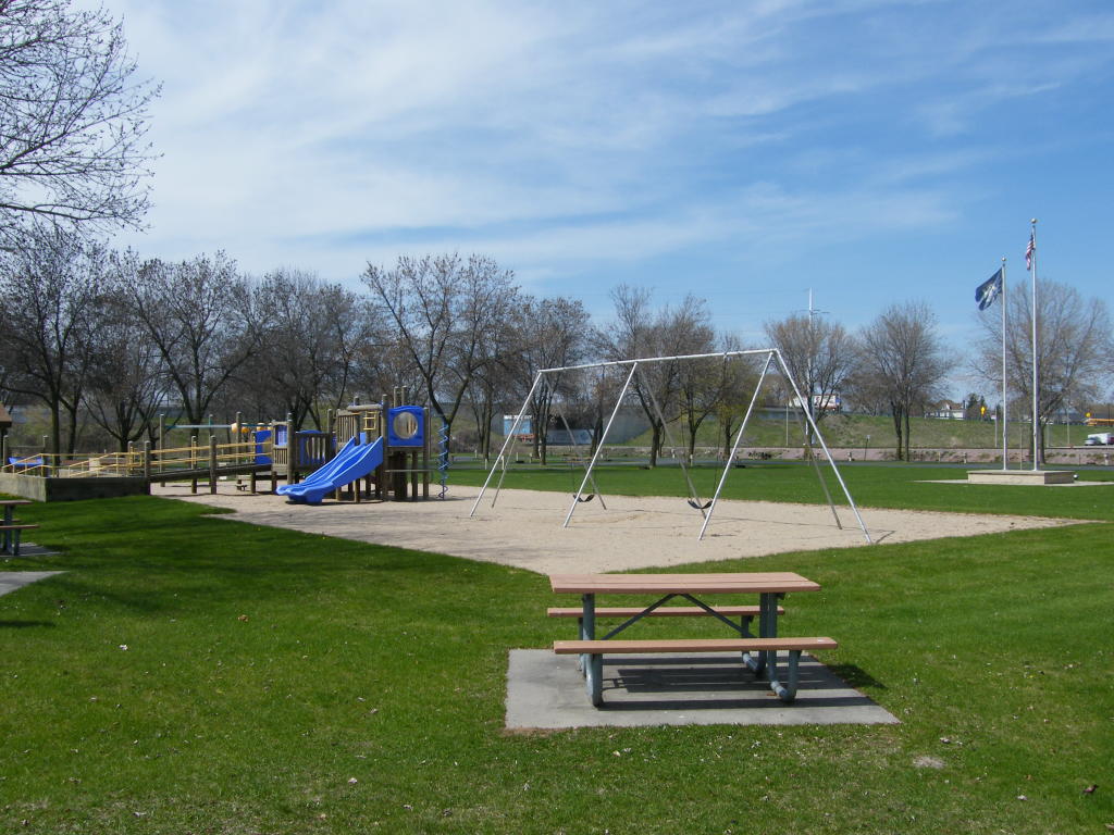
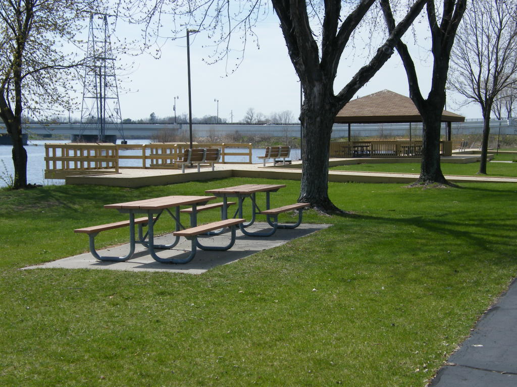
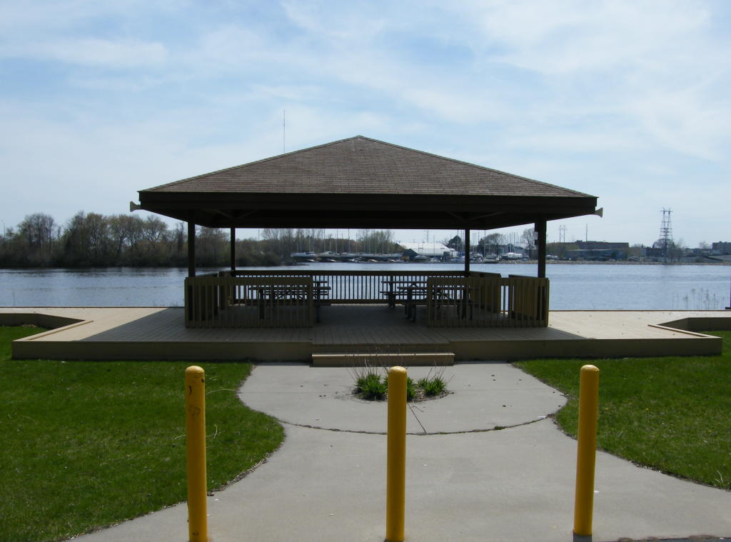
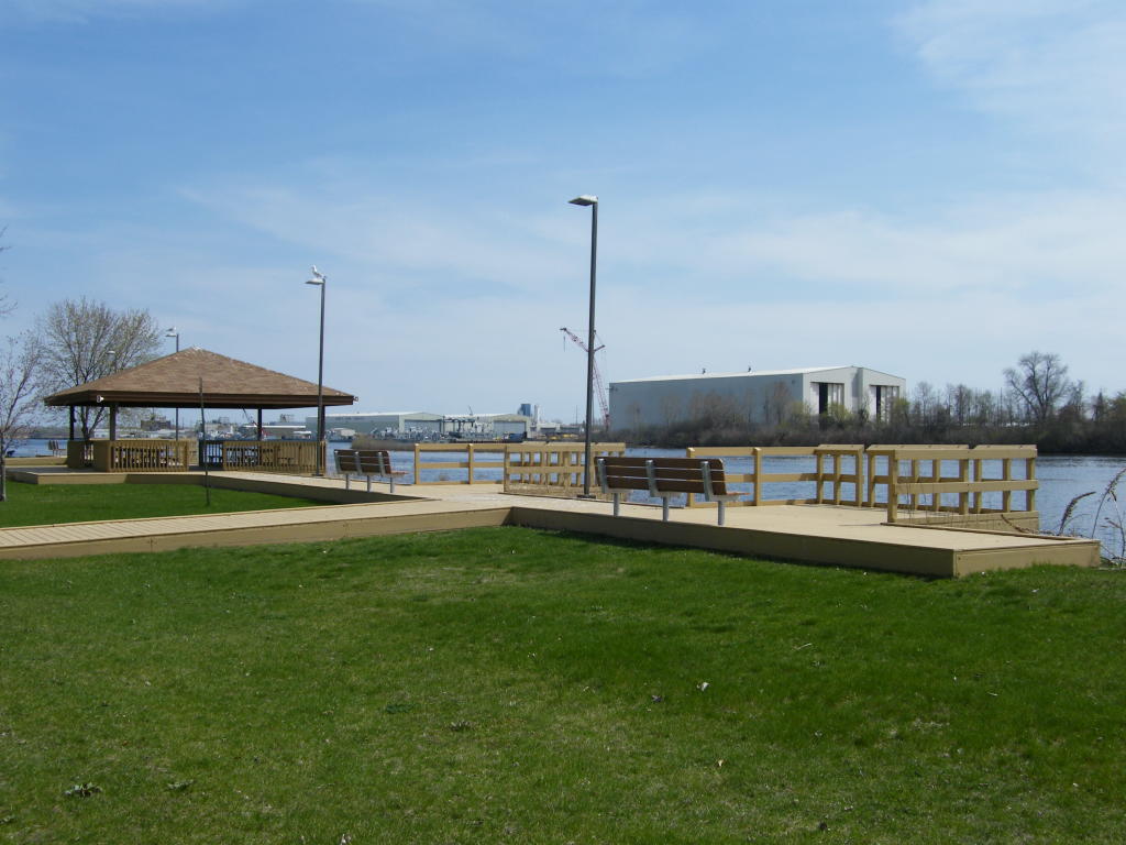
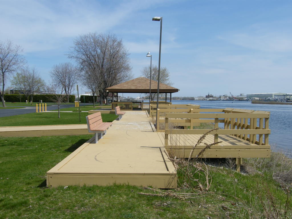
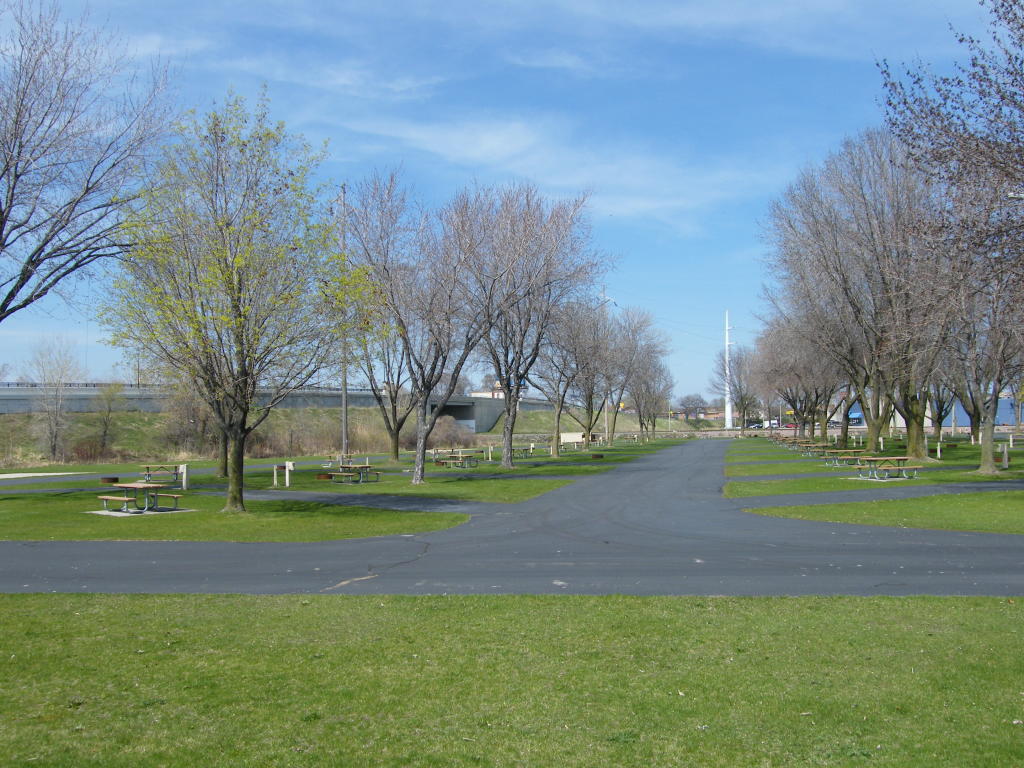
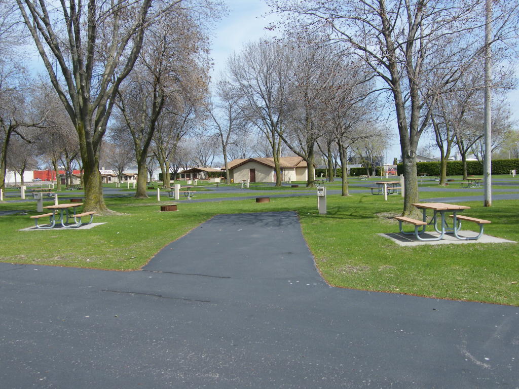
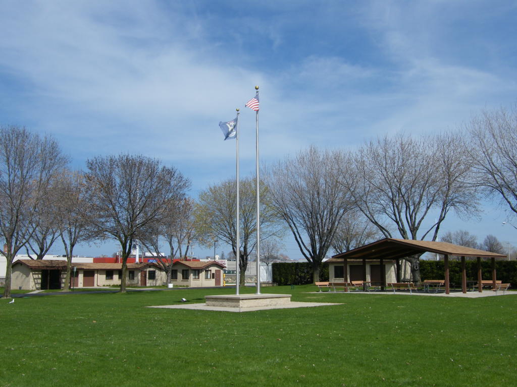
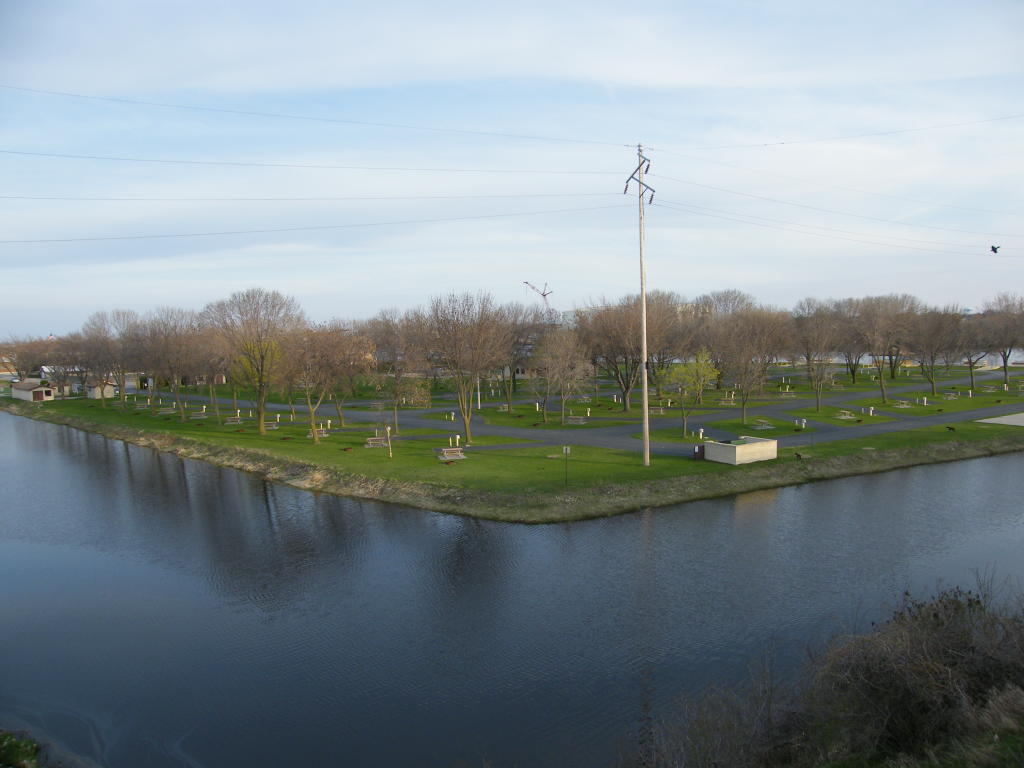
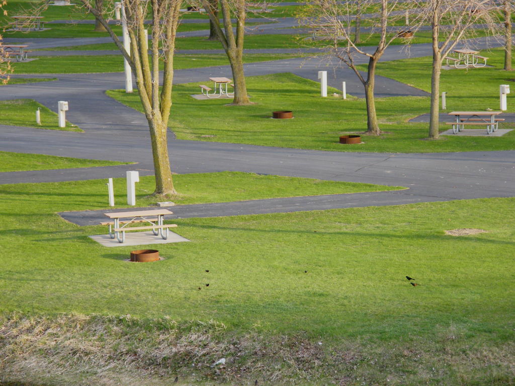
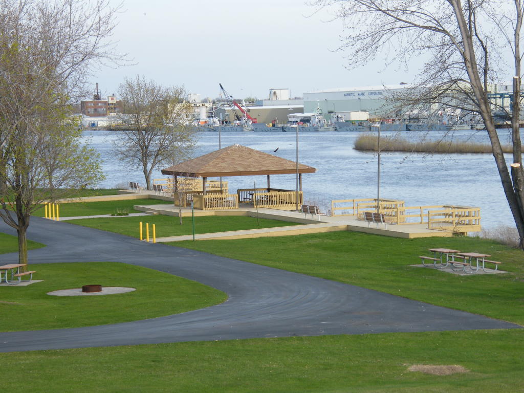
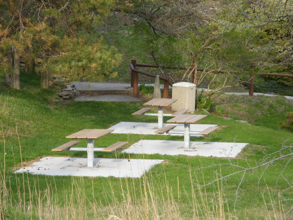
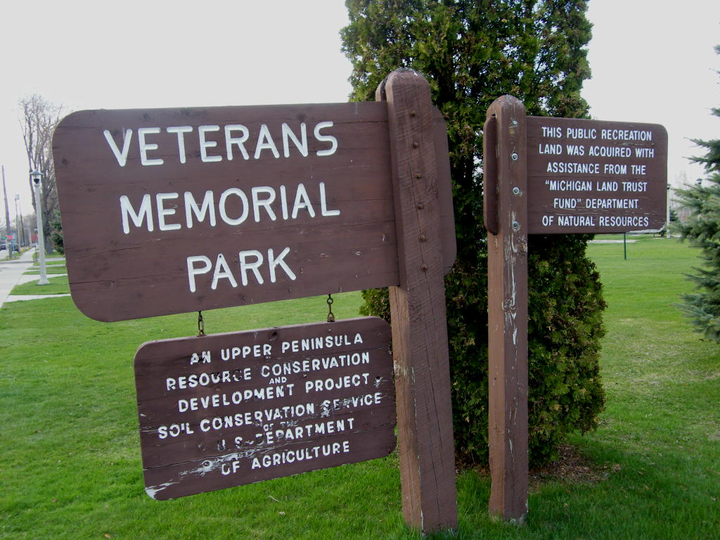
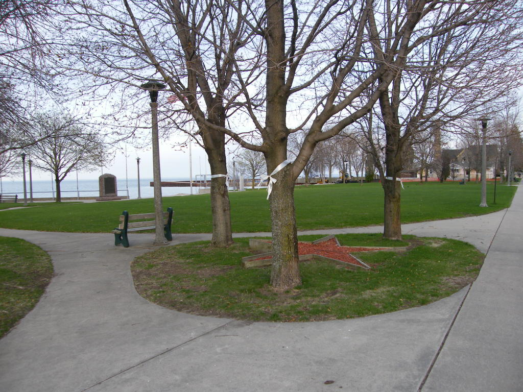
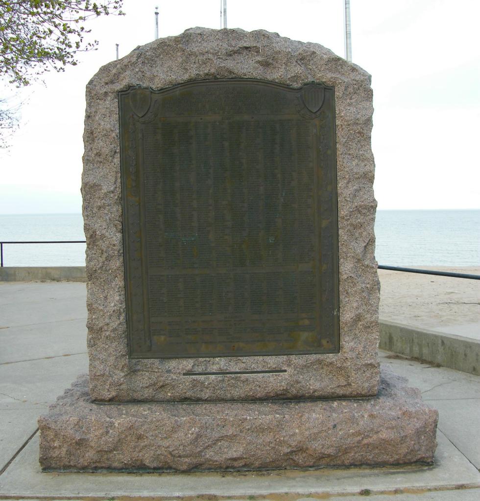
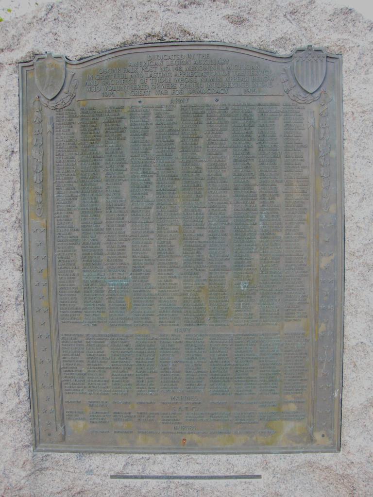
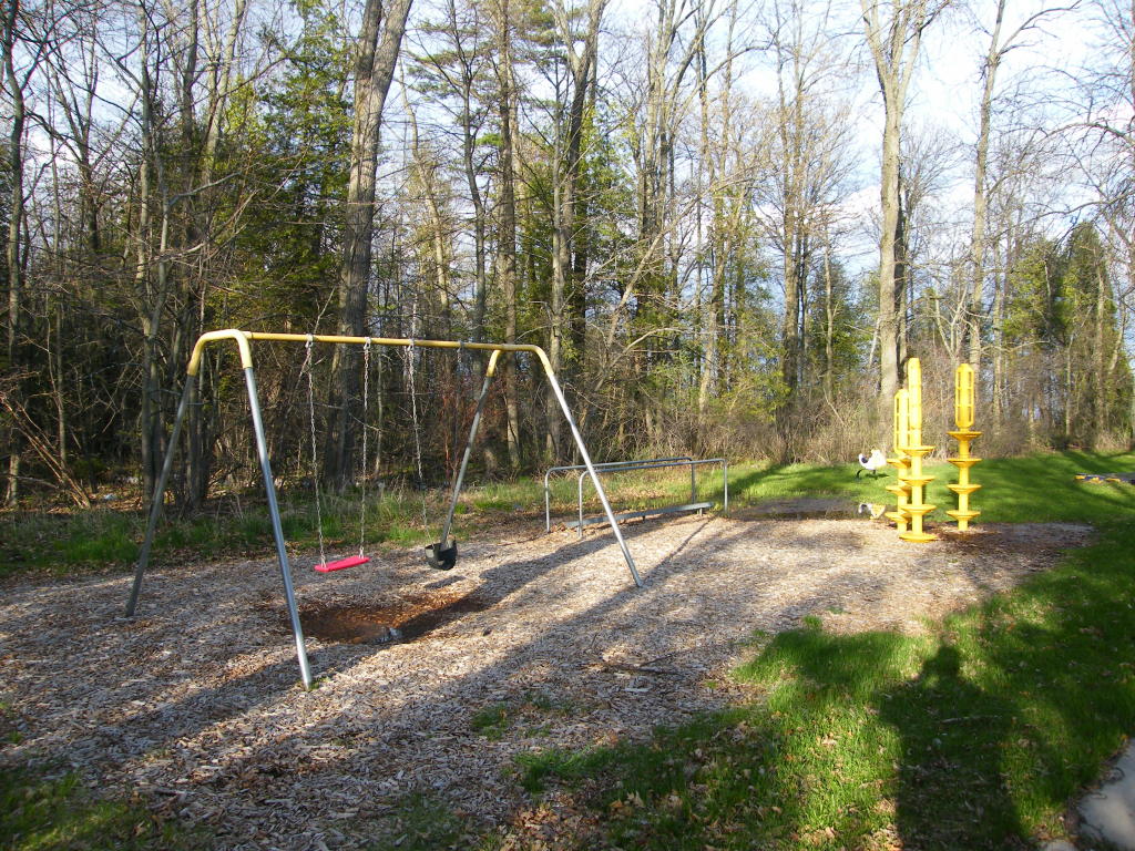
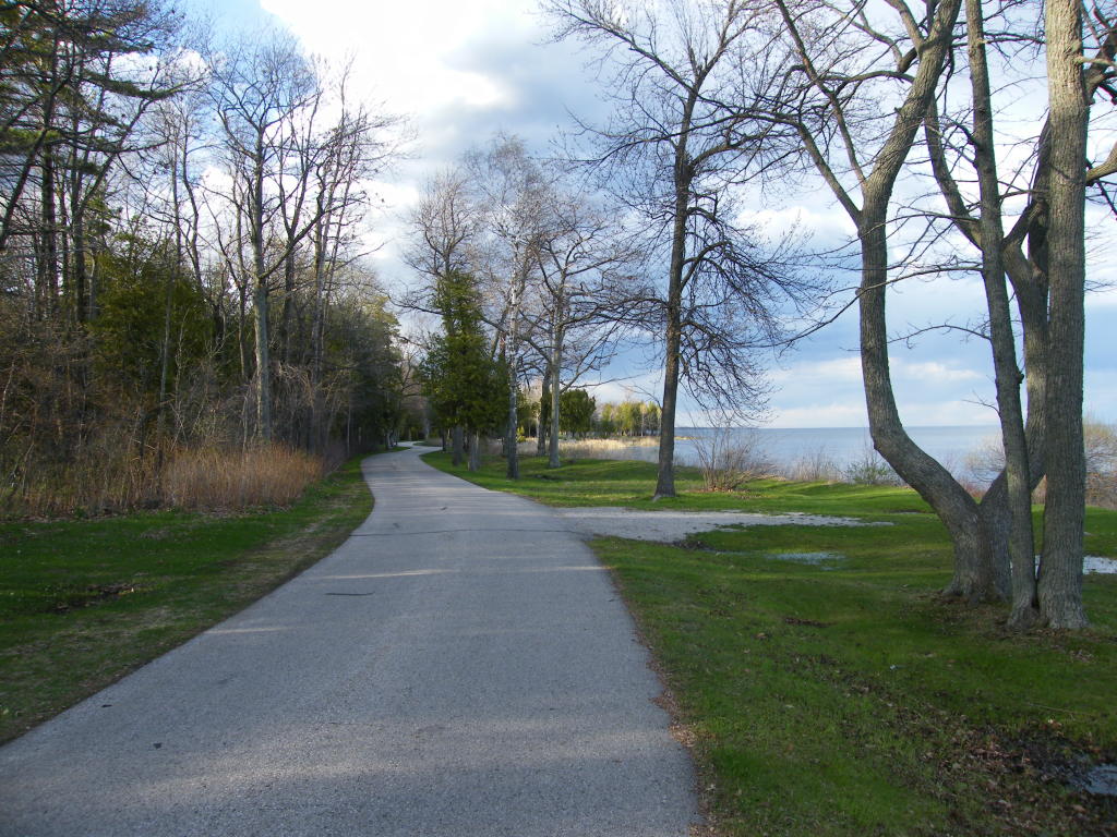
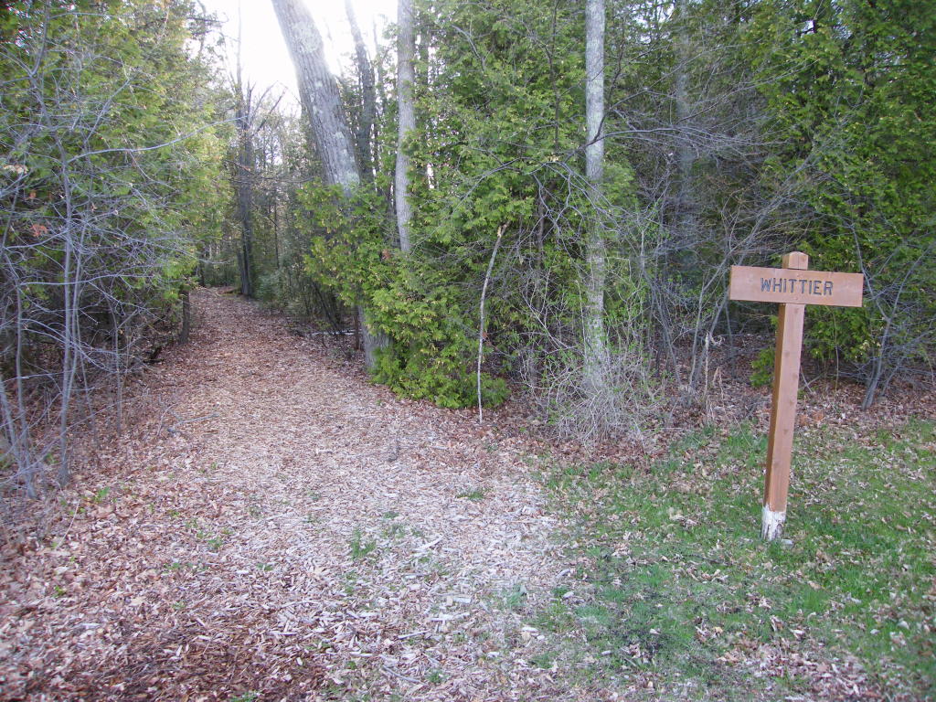
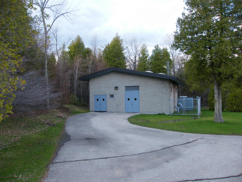
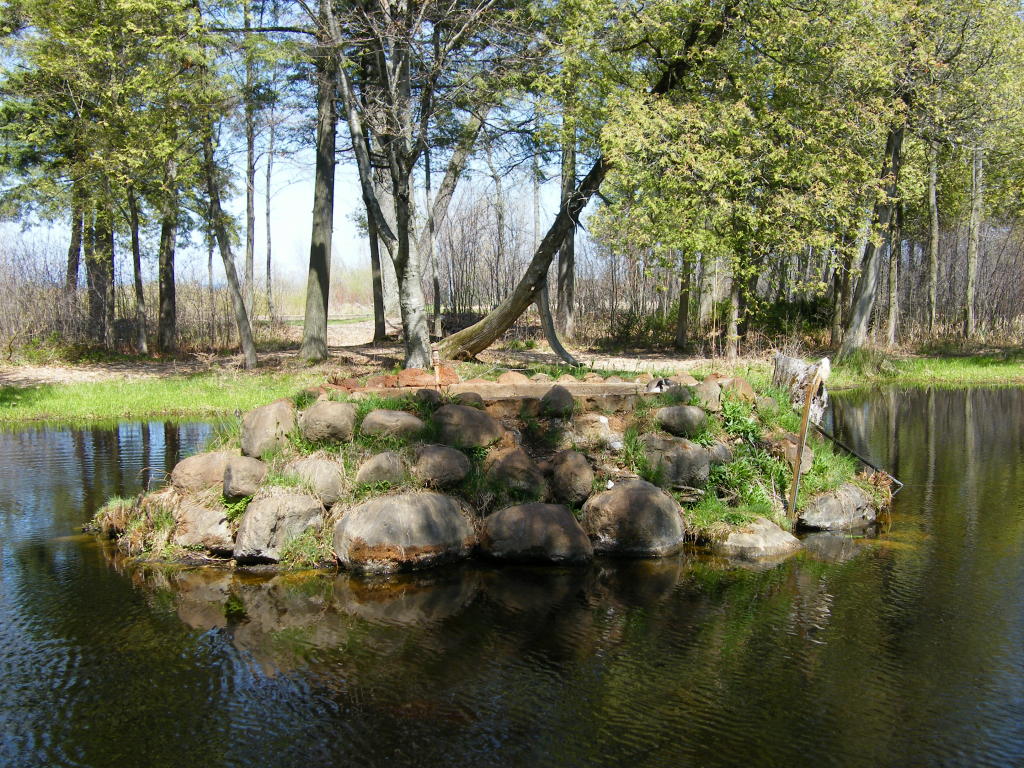
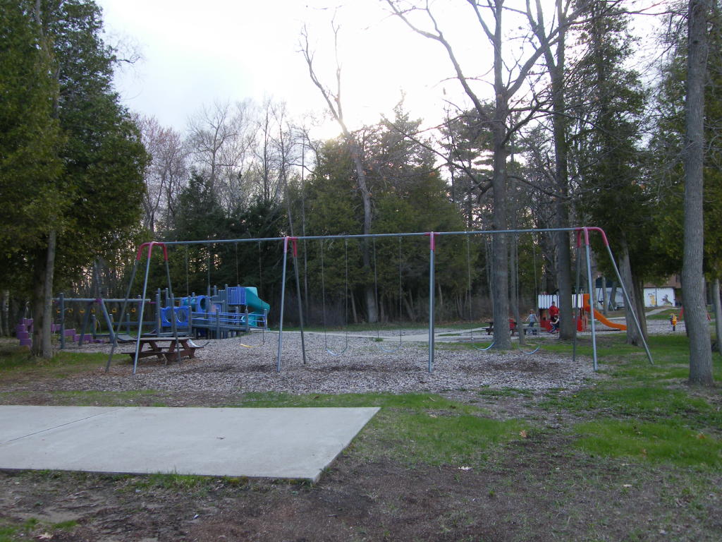
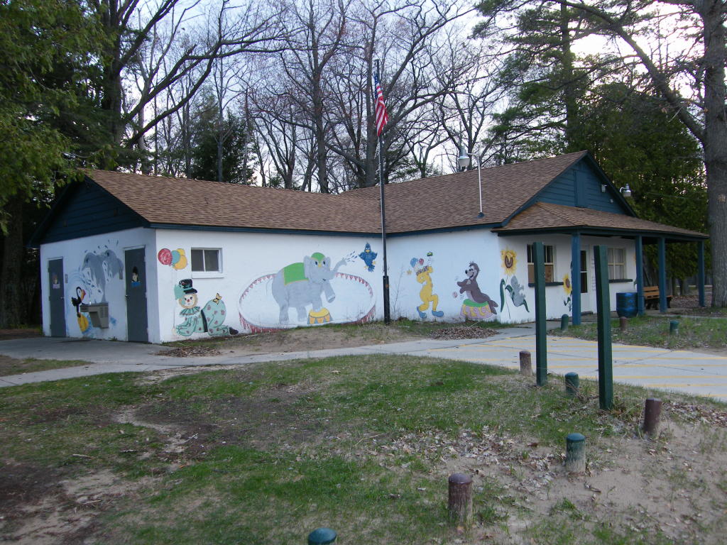
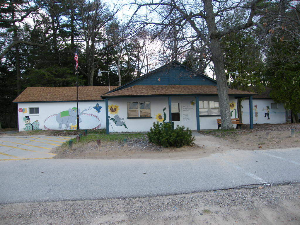
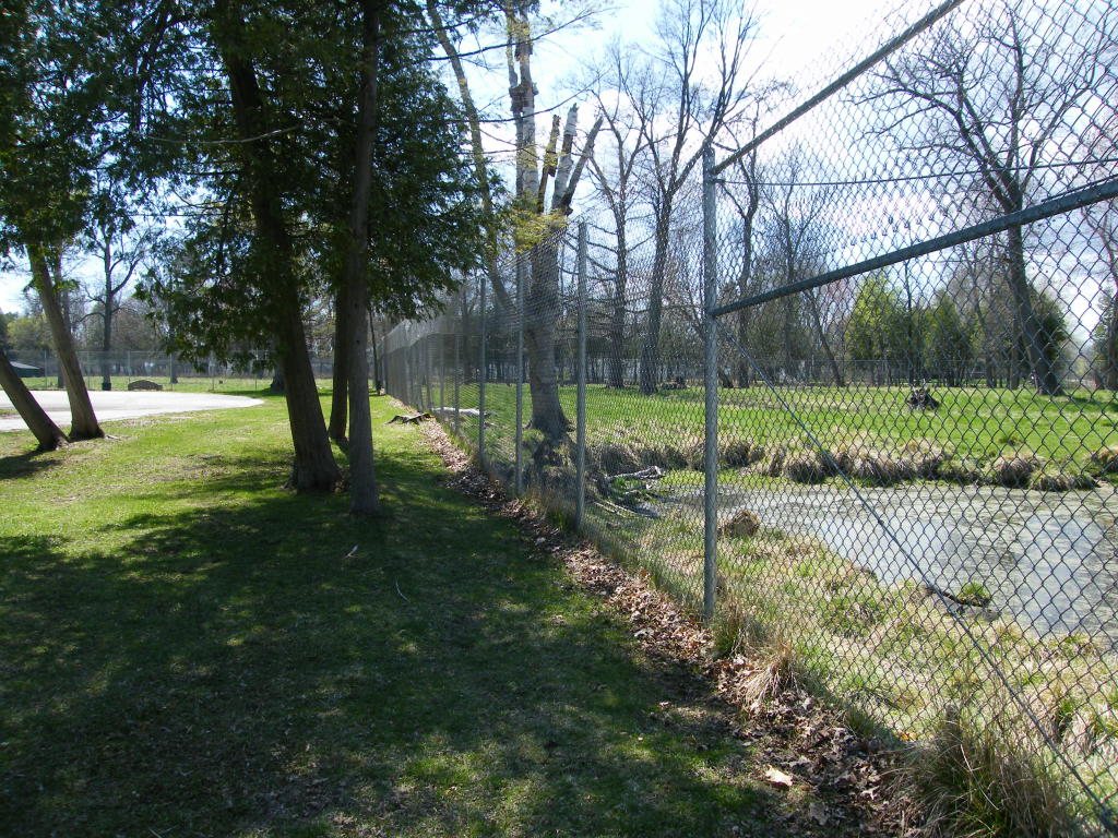
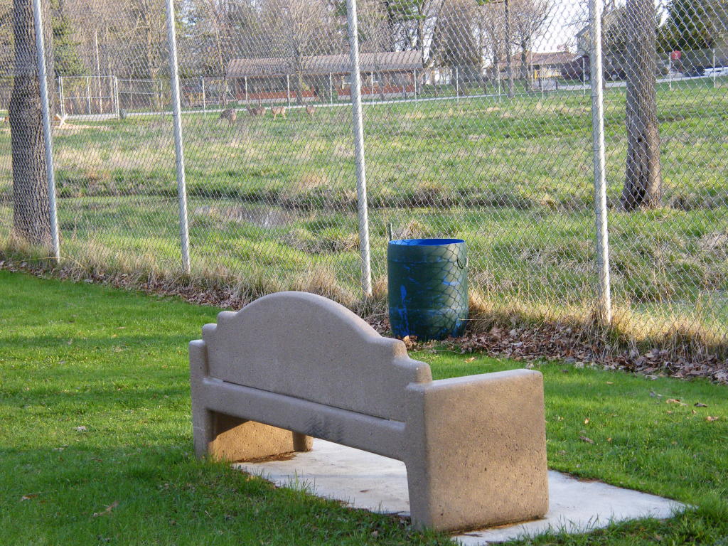
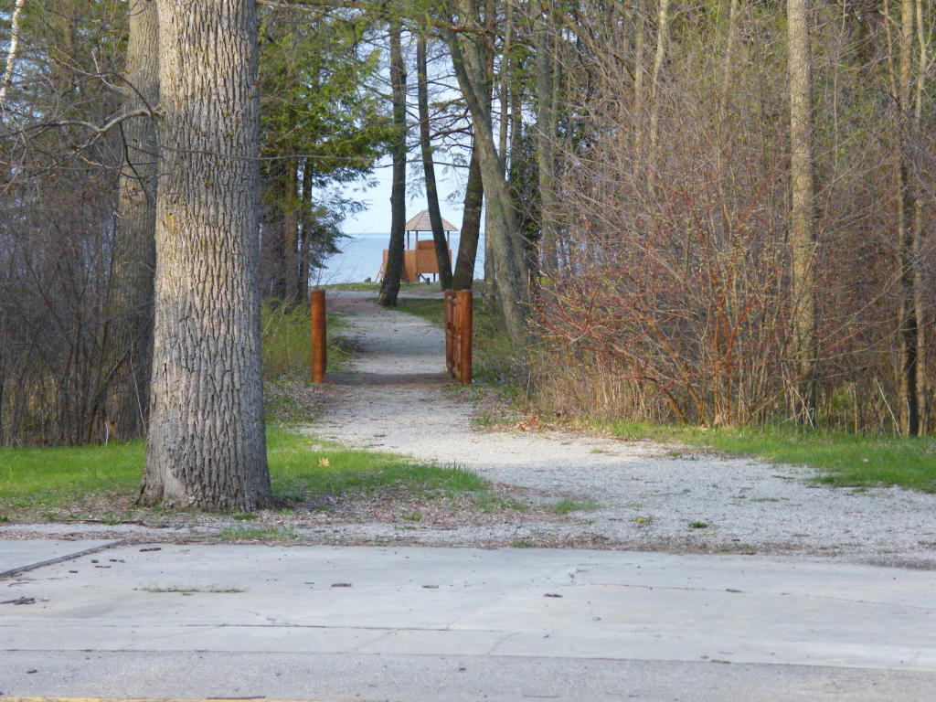
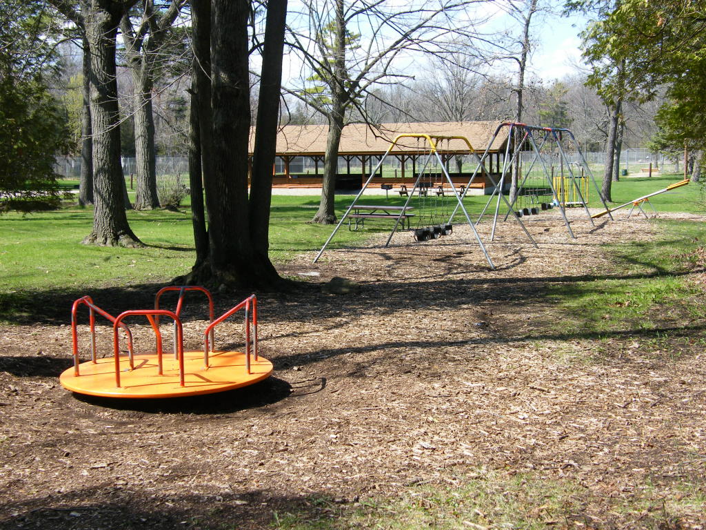
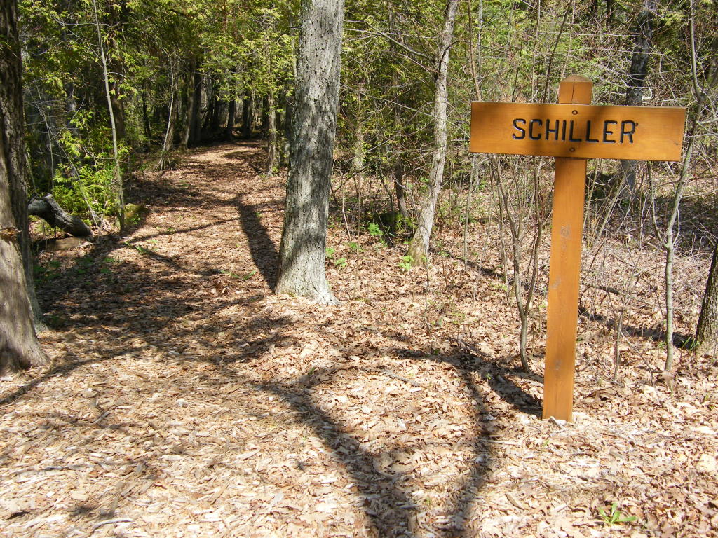
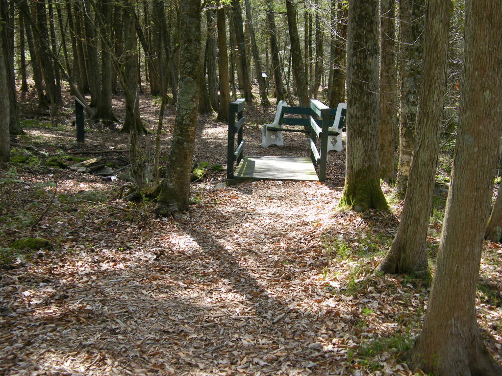
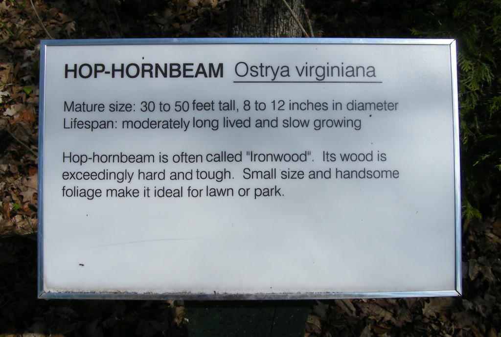
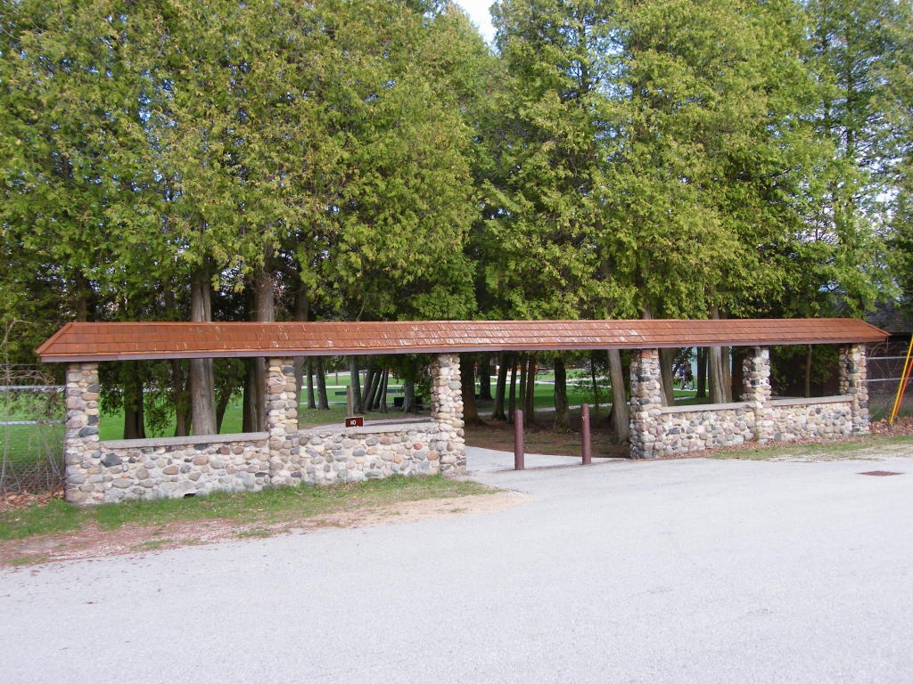
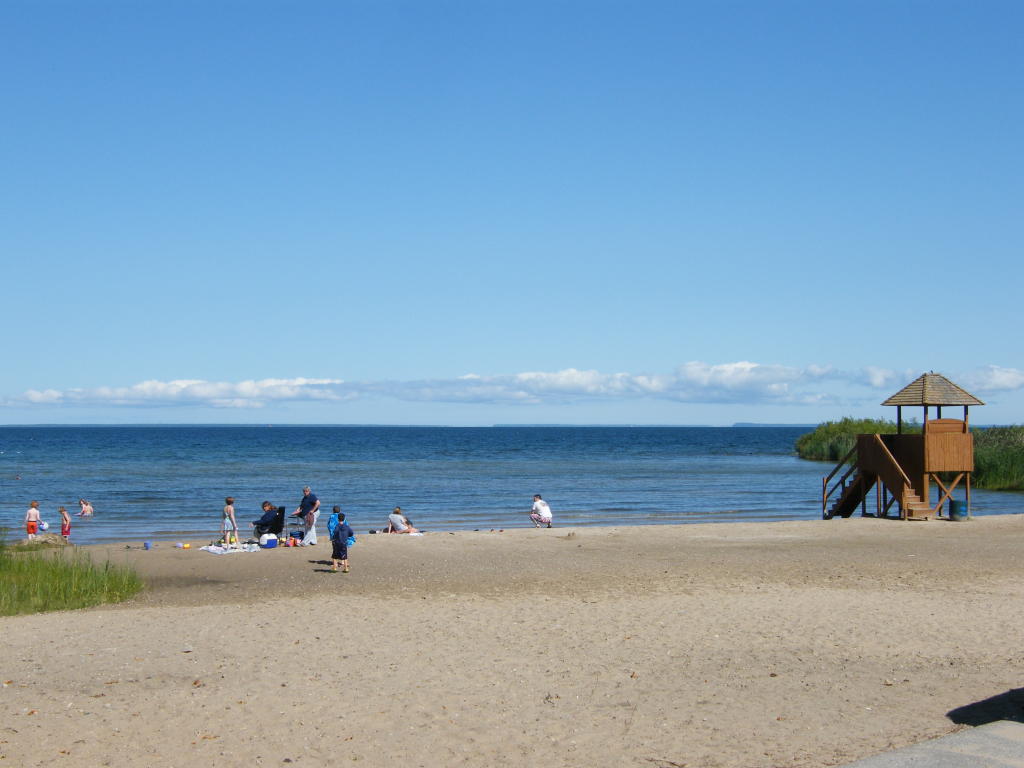
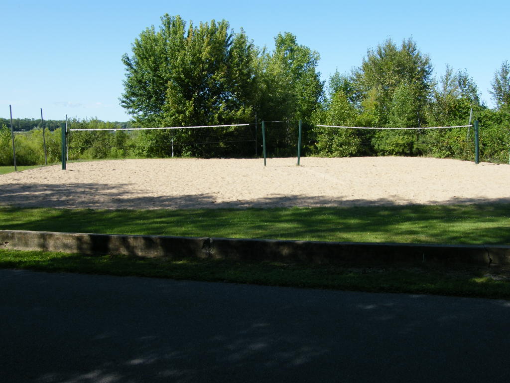
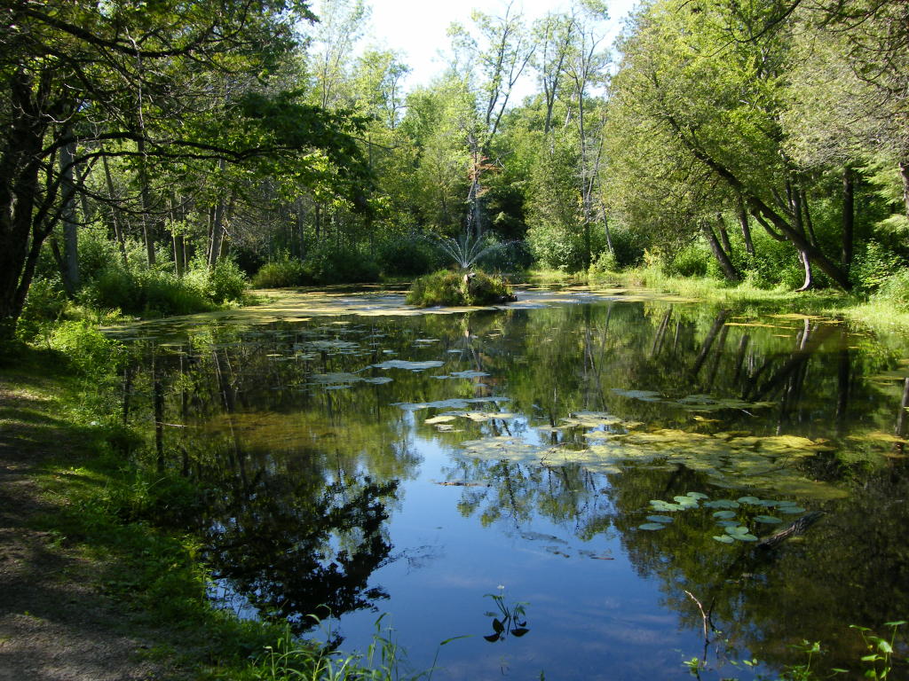
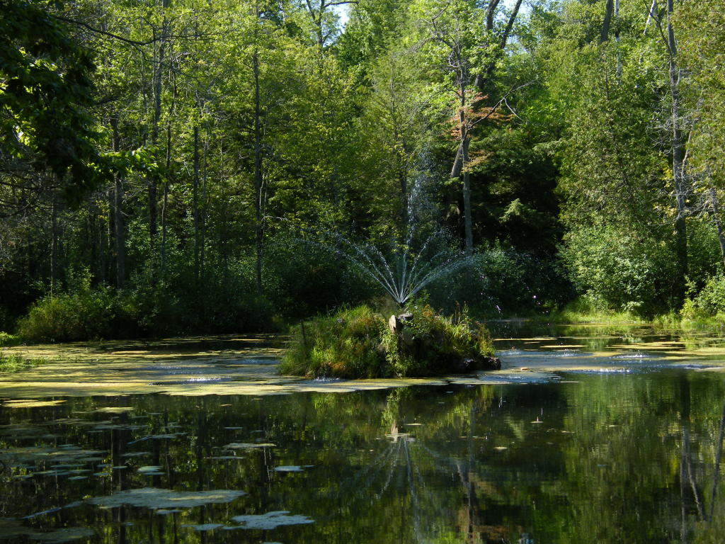
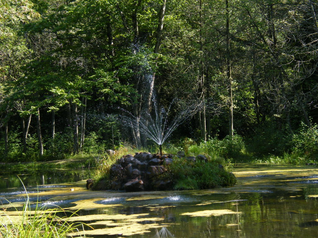
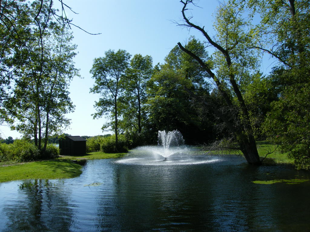
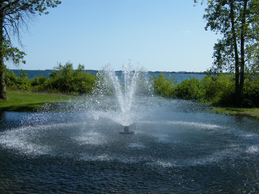
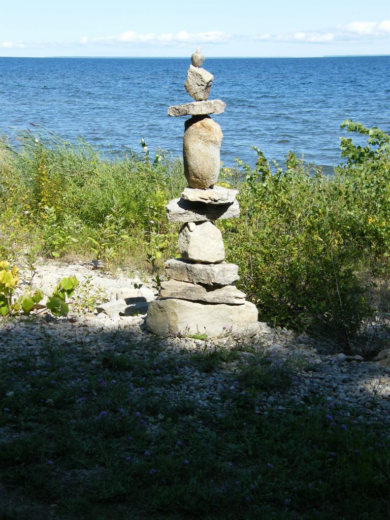
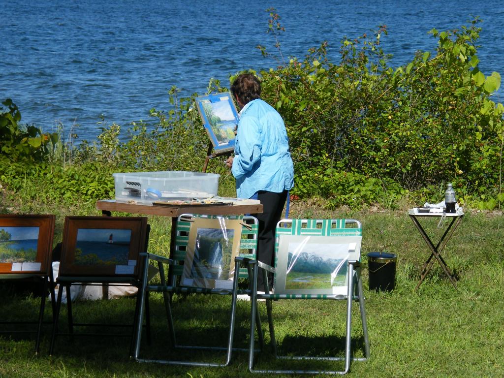
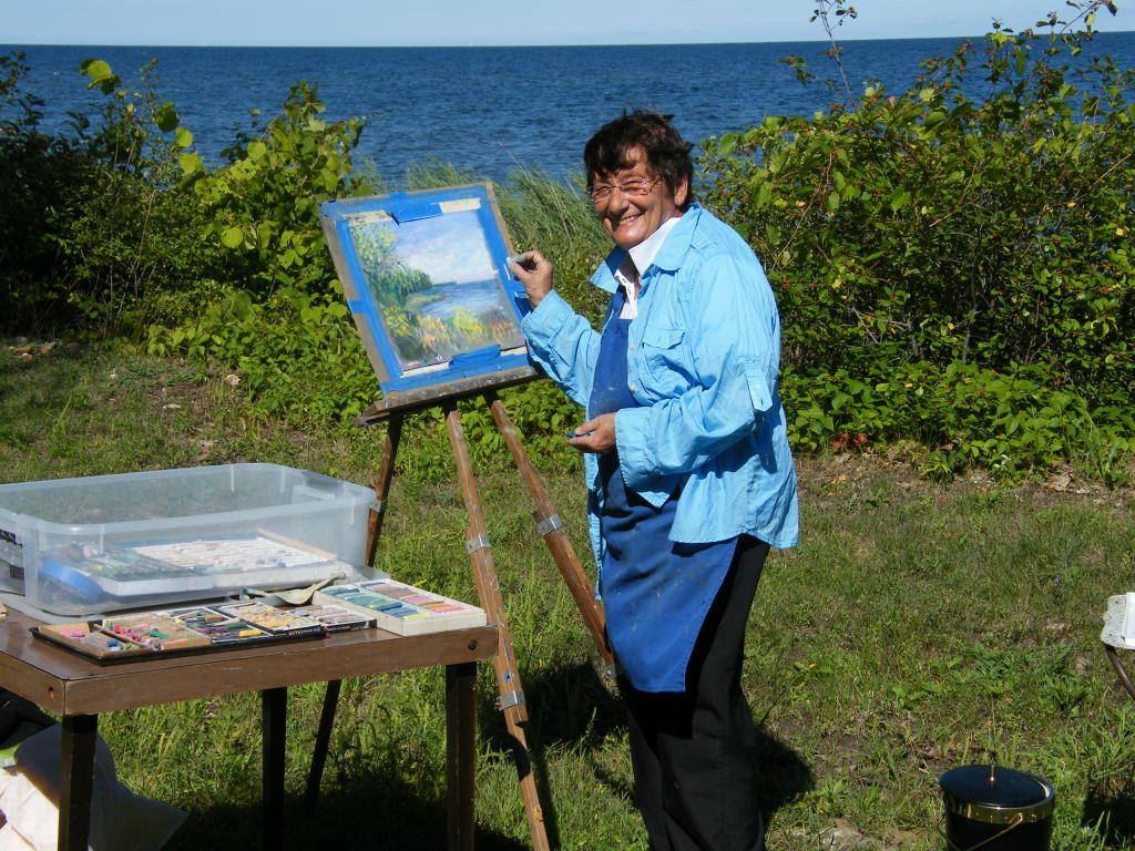
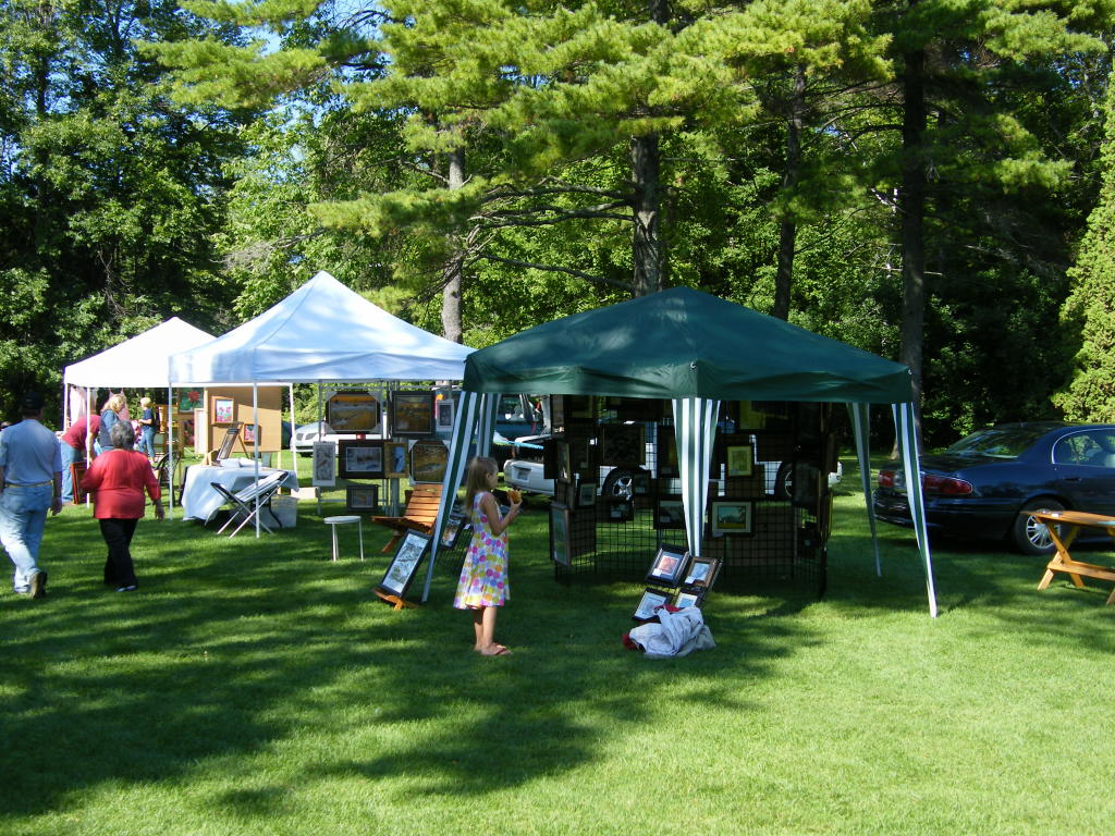
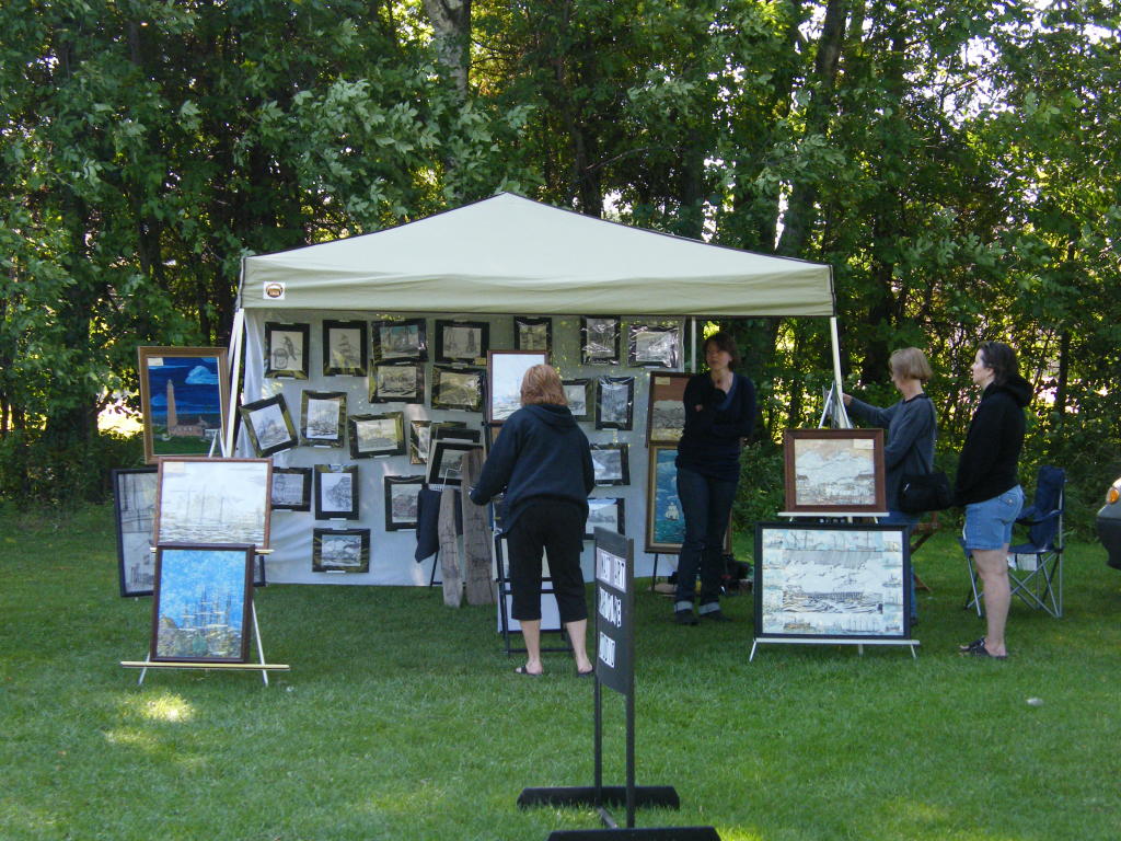
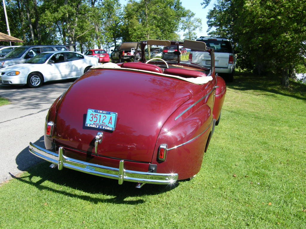
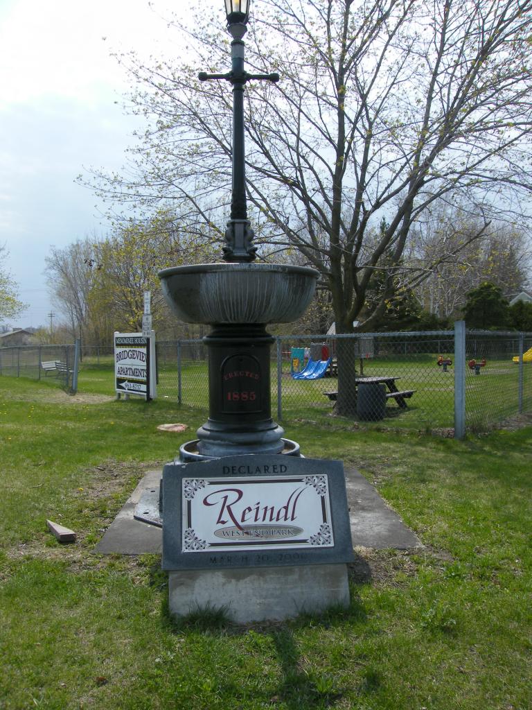
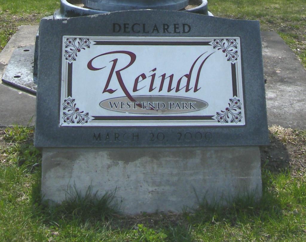
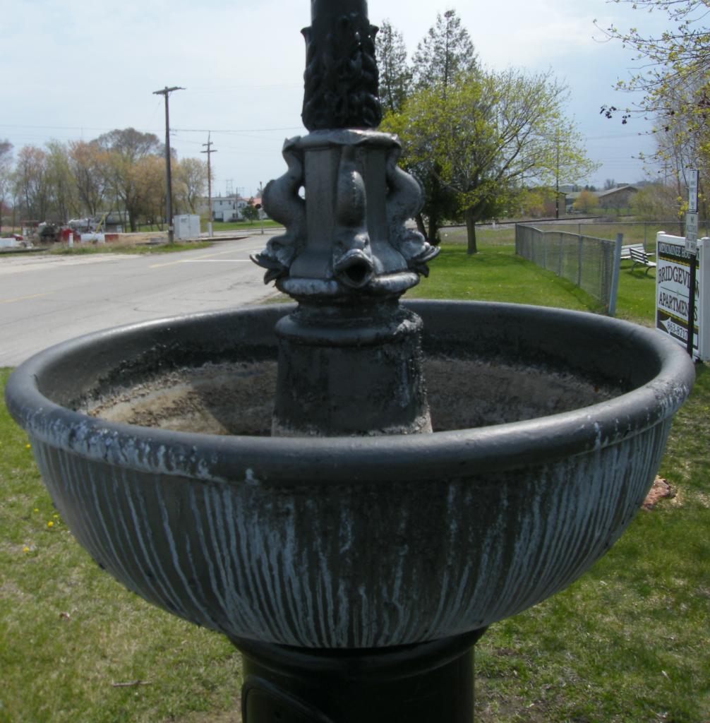
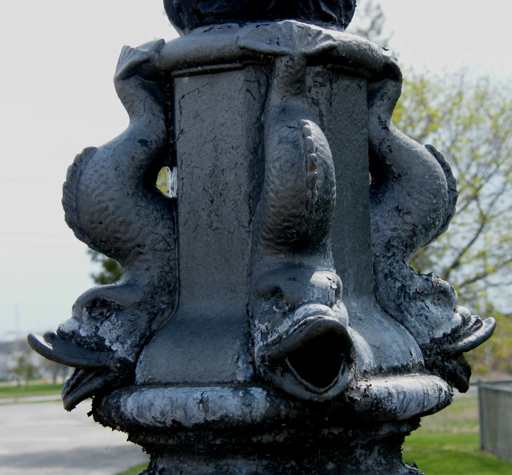
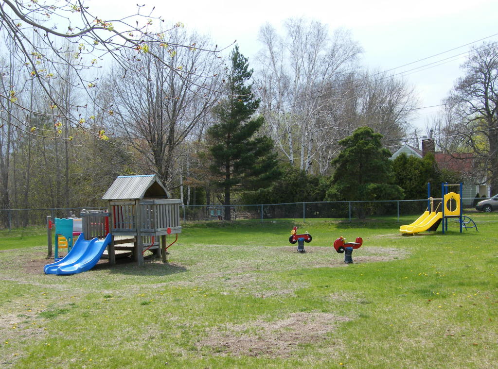
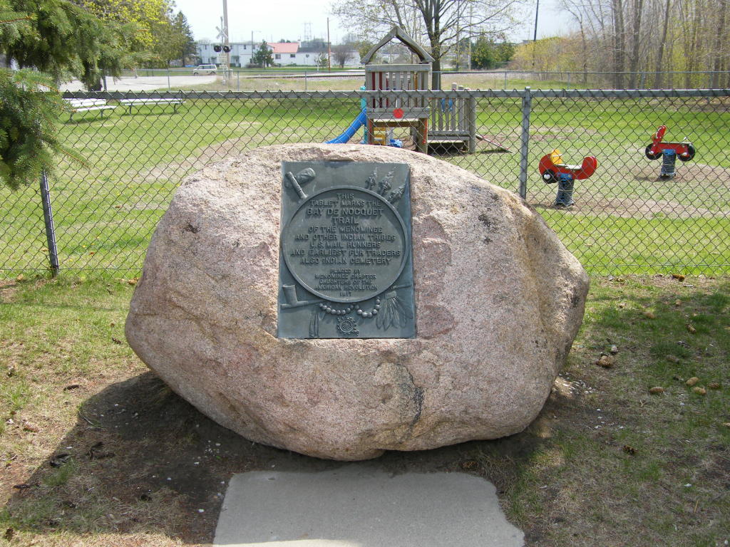
Random Scenes From Peshtigo, WI

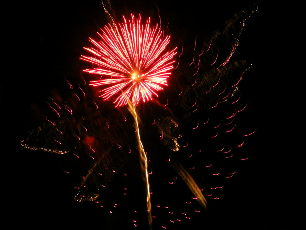
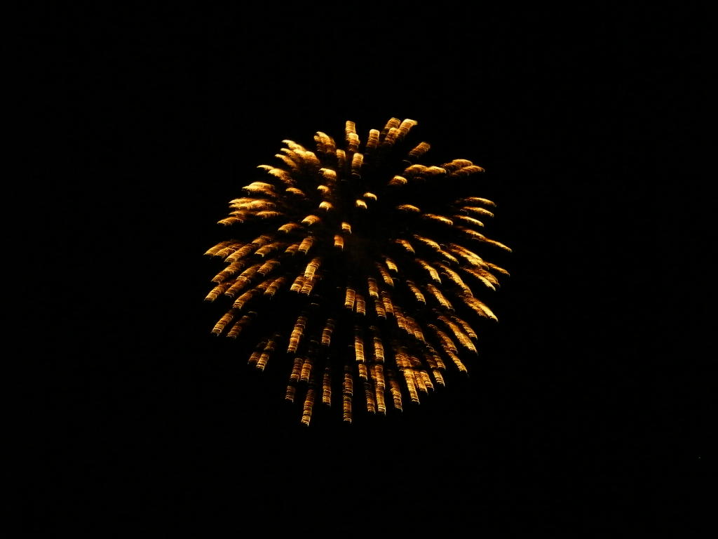
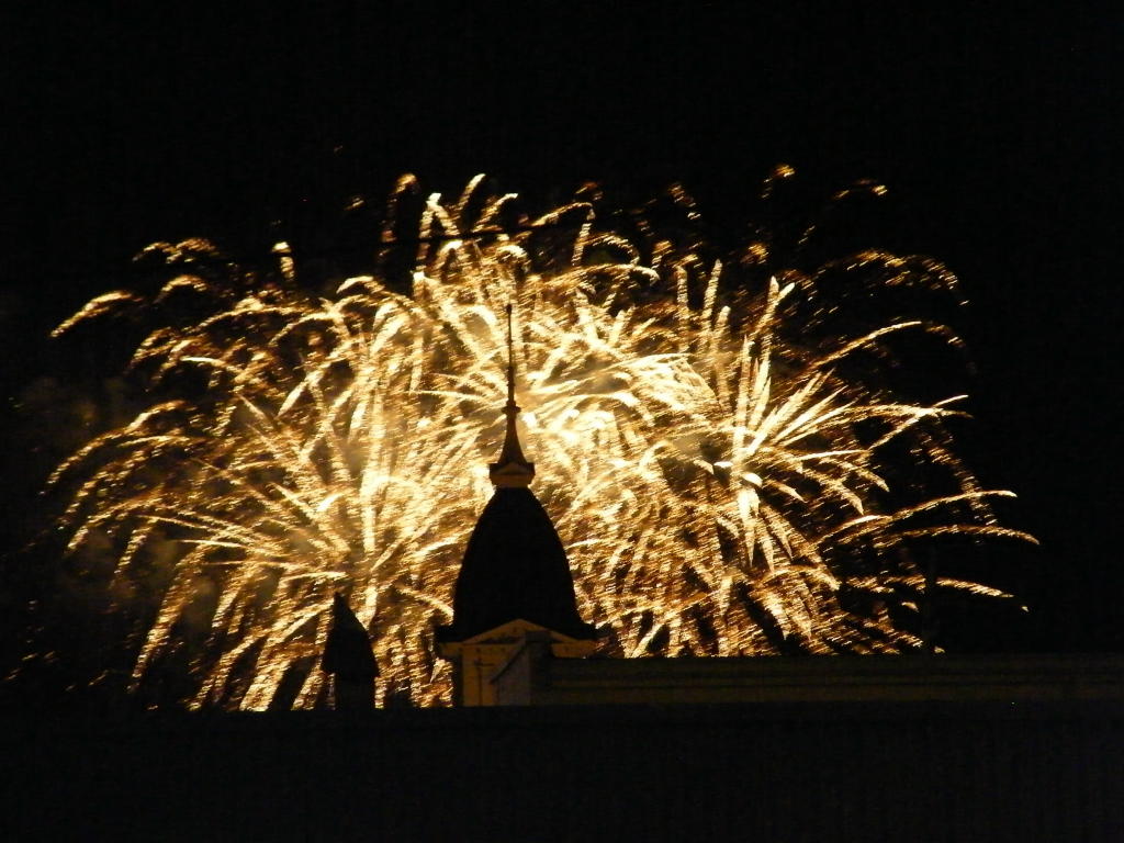
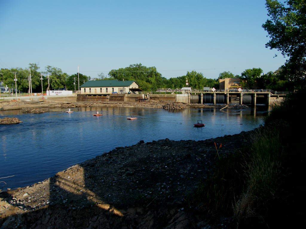
Photos of Badger Park, the "draining" of the Peshtigo River in order to inspect and repair (if necessary) the dam on the Peshtigo River, and more

Click Here to view the photos. To return to this page from within the slide show - hit the UP-facing arrow (when viewing any individual photo) to go back to the thumbnails page and then click on "Return to Menominee & Marinette Parks & Things".


Peshtigo Bridge Replacement Project

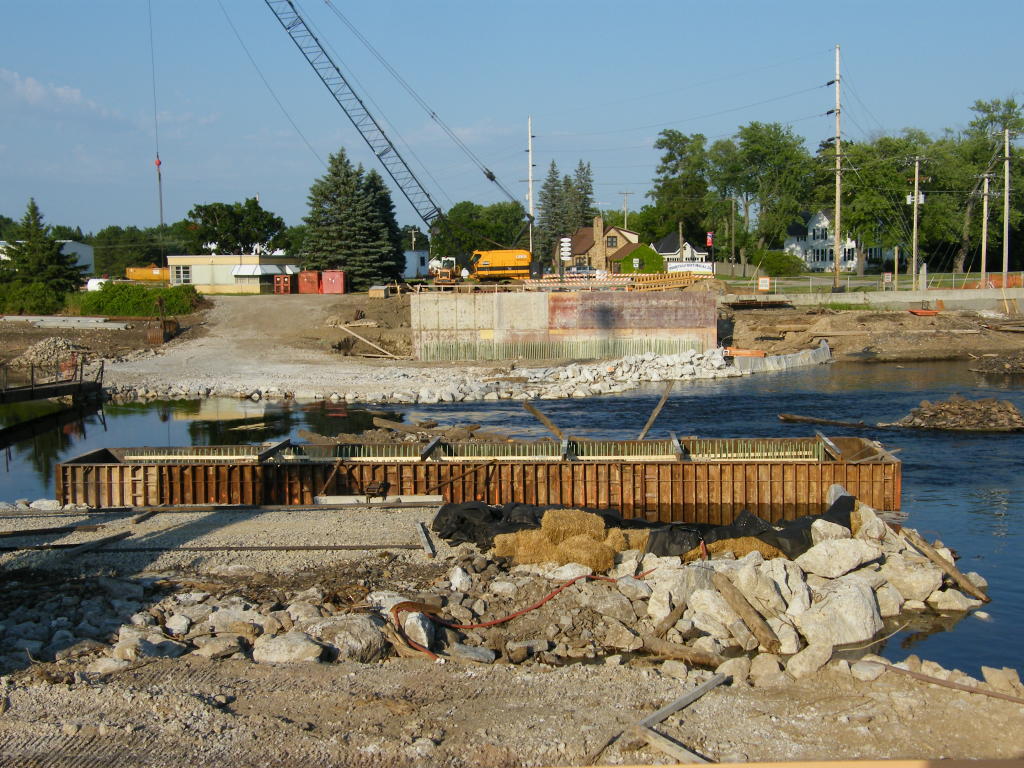
In June 2012, after schools were closed for the summer, the old bridge over the Peshtigo River in the center of town was torn down. It is in the process of being replaced by a newer bridge. The Peshtigo River has been drawn way down, as they will be doing some work on the footings of the dam at the same time. I will try to get over there from time to time this summer to see what progress is being made. Here are some photos of the project from July 3:

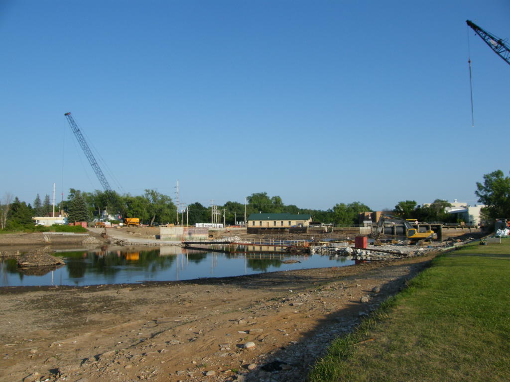
Bridge Out - I am standing on the south end of the old roadway leading to the bridge (looking north)
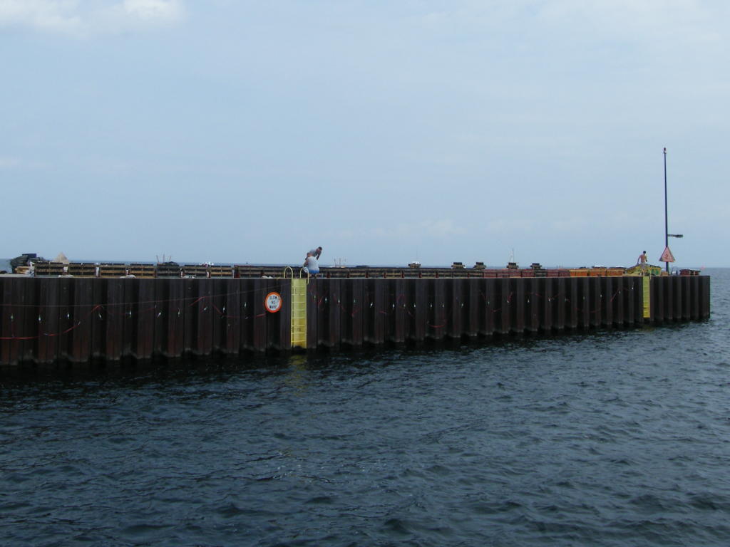
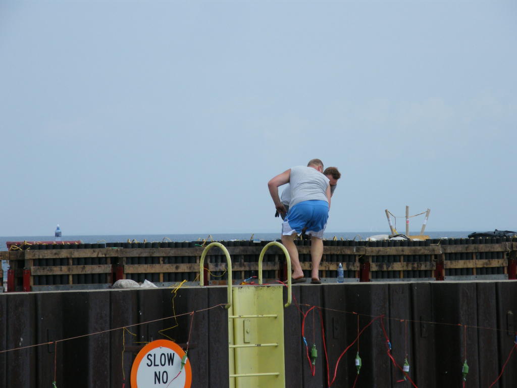
Dam - Looking down-river at the dam
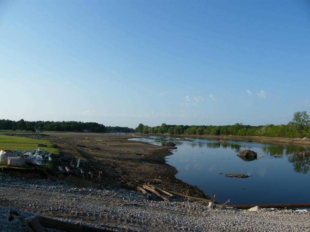
Further up-river - Looking down-river at the bridge and dam areas
Peshtigo River - Looking up-river at a drawn down river
Peshtigo River - Zoomed in view of the area near Badger Park from the old roadway leading to the bridge

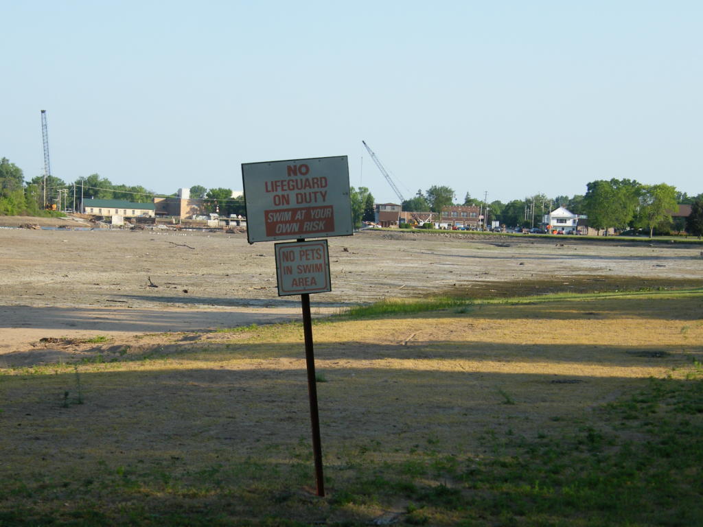
Forlorn sign - "No Lifeguard On Duty" ... how about "No River In Sight"?
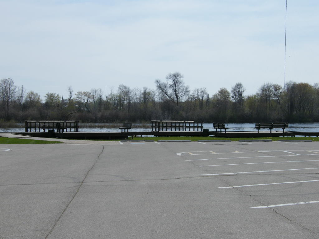
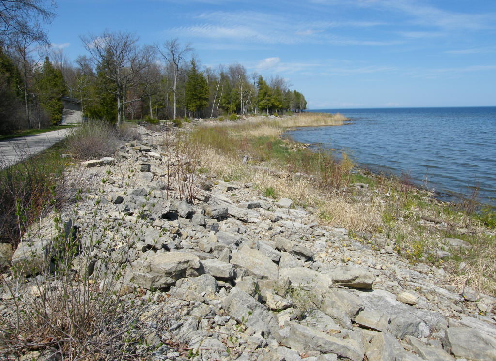
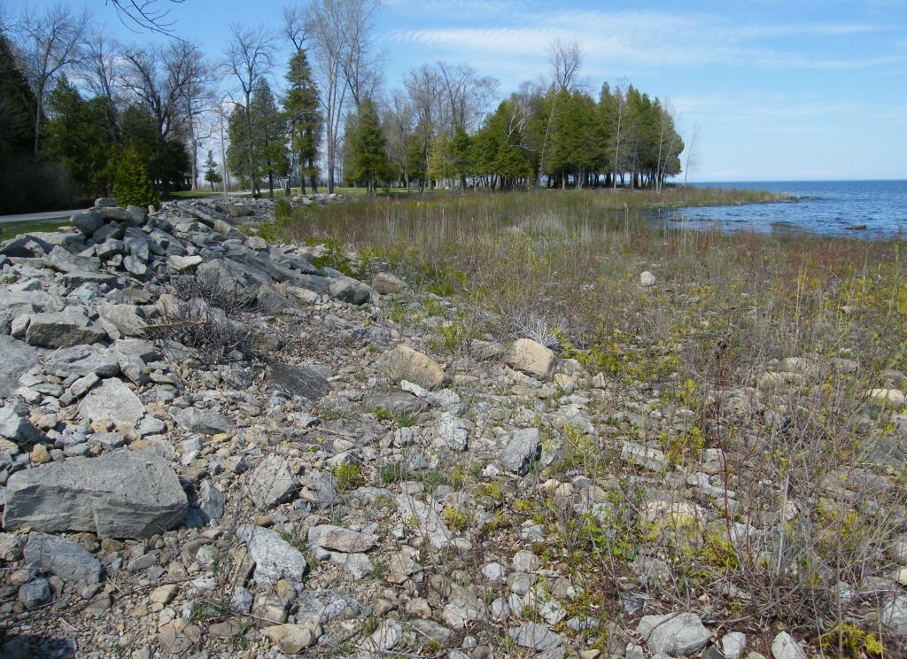
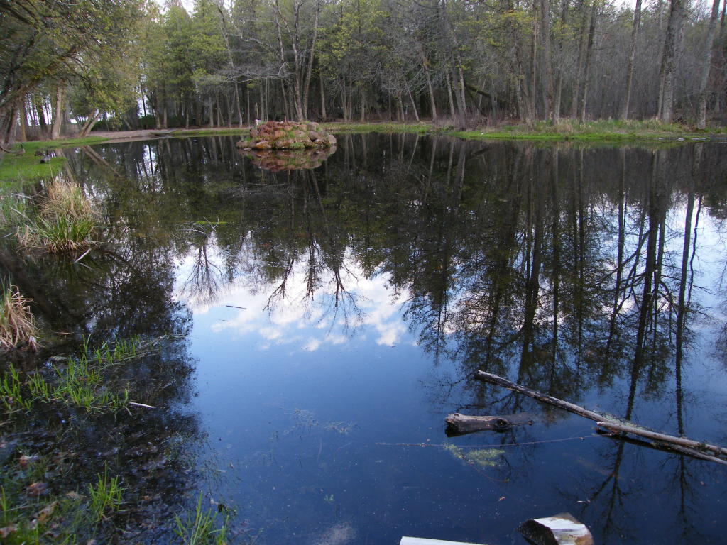
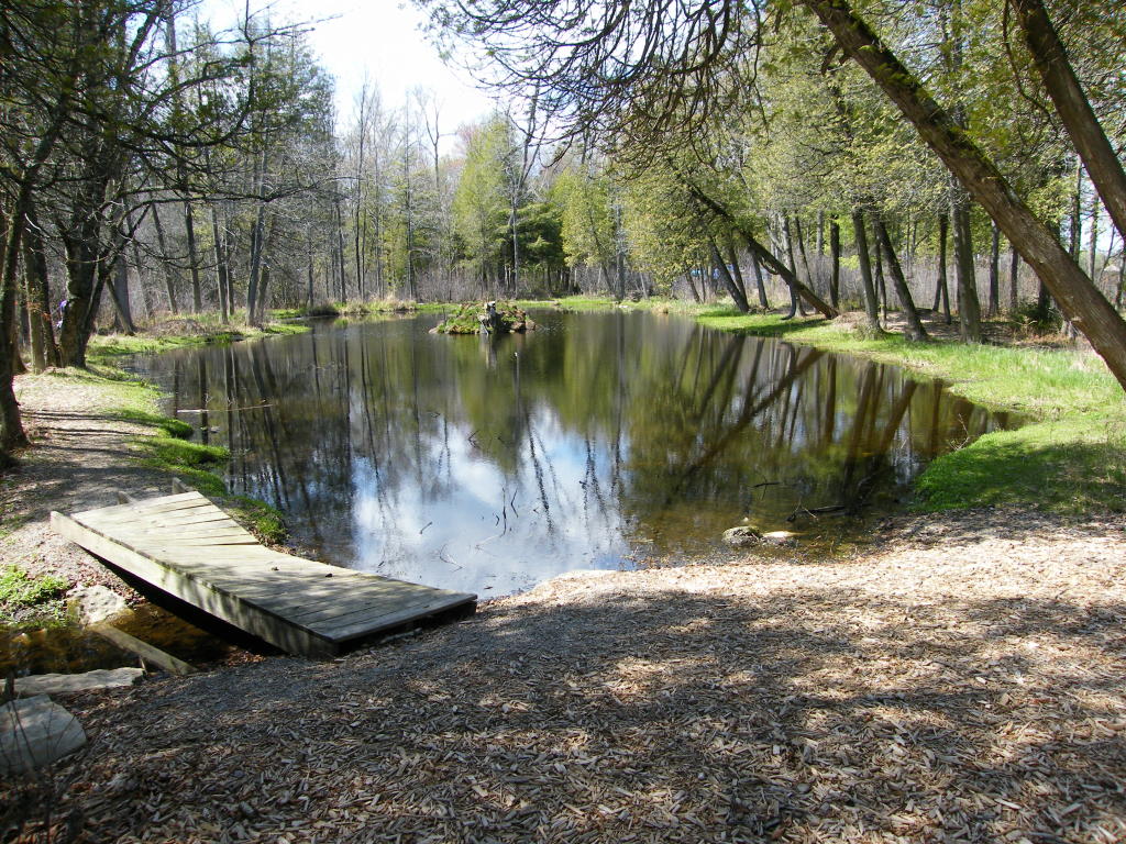
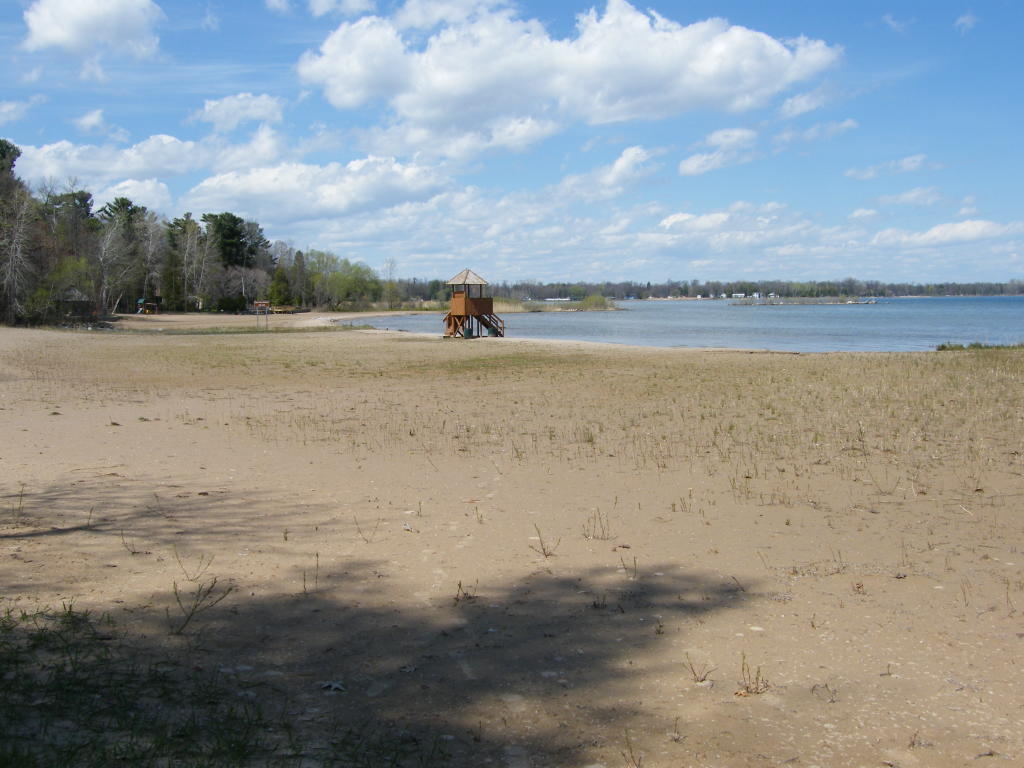
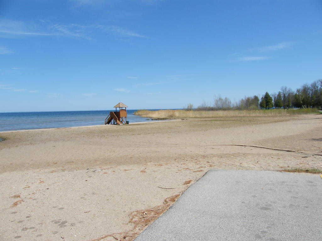
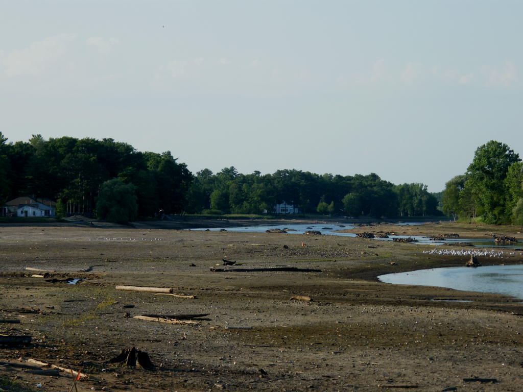
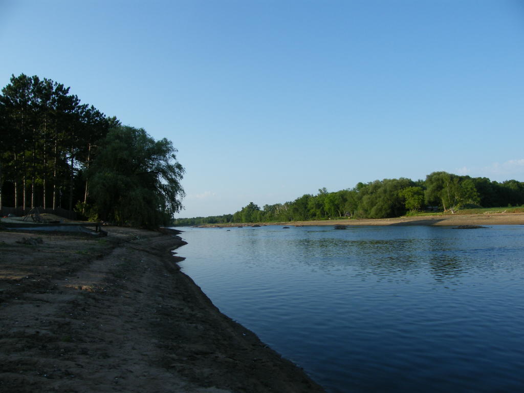
Peshtigo River - Looking down-river from Badger Park
Peshtigo River - Looking up-river from Badger Park
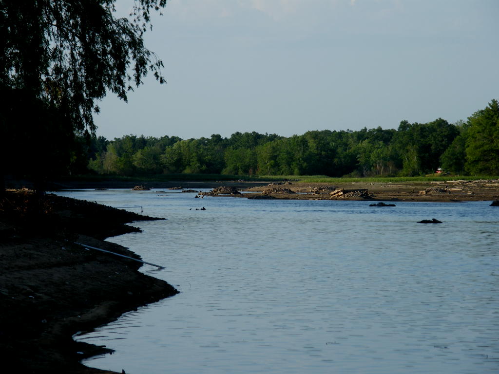
Peshtigo River - Looking further up-river from Badger Park
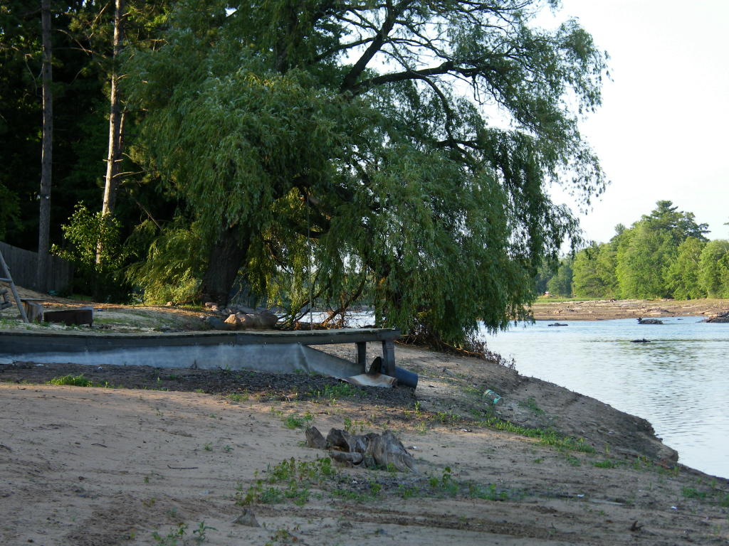
Forlorn Dock - Yup! The river is generally high enough for that dock to be useable!
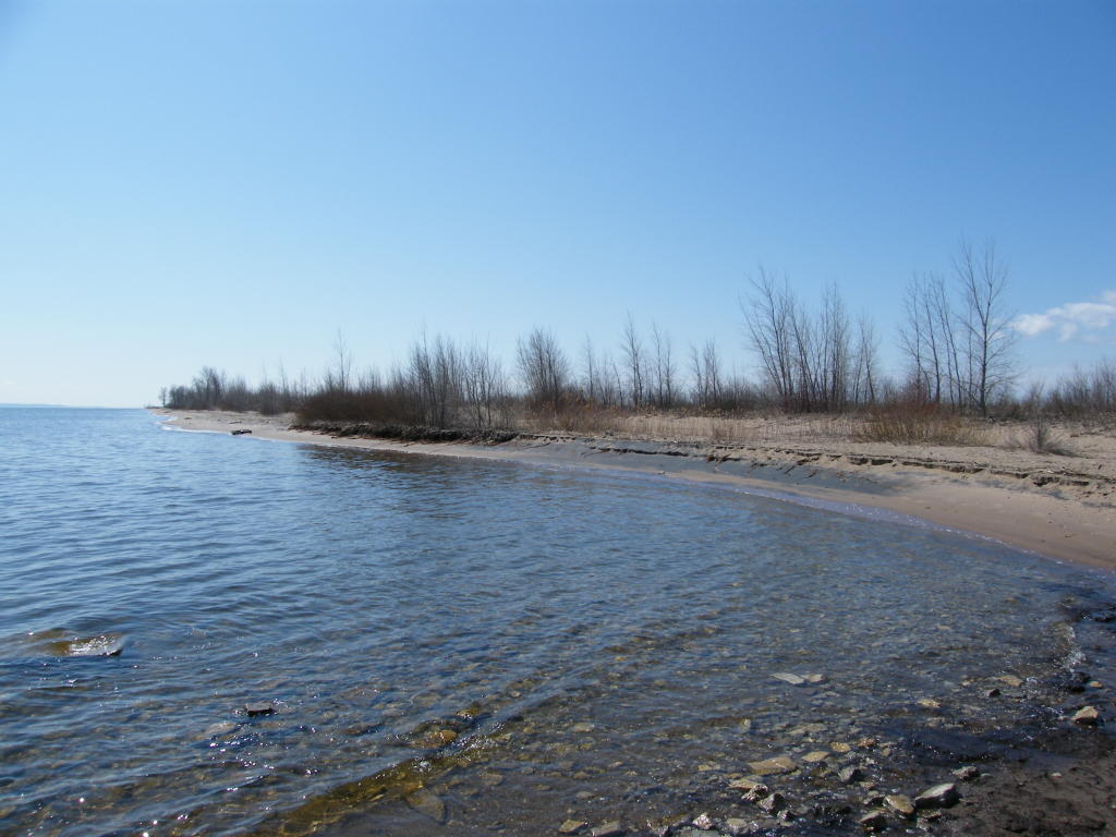
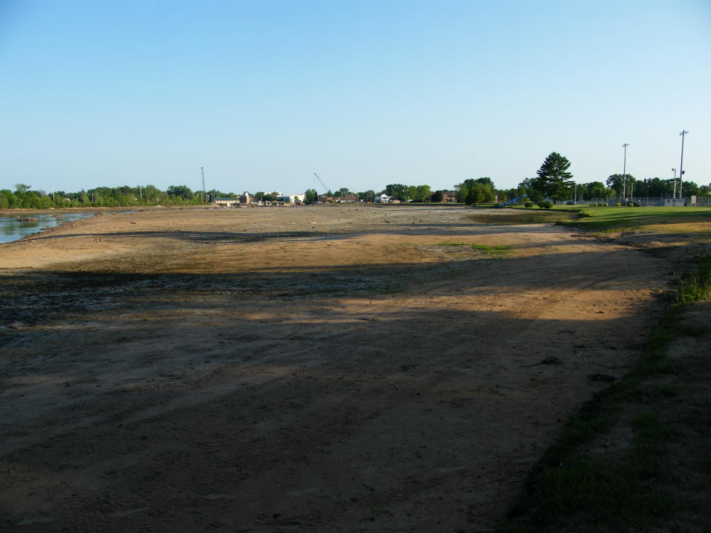
Peshtigo River - All of the area showing sand is normally covered by the river (looking down-river from Badger Park)


Click Here to go to my "General Photo Gallery" of other non-shipping areas and things